Mount Kaweah
Peaks: Alta Peak, Mt. Kaweah, Eagle Scout Peak
October 2023
Mt. Kaweah was the last SPS Emblem peak on Anthony and my to-do lists. We decided finish the list together and so in early October, at the tail end of 2023’s Sierra season, we found ourselves driving east for the mountains. A few minutes into our drive we got a call from Lexi and were notified that I left my backpack with all my gear in our cabin. We turned around, grabbed the gear, and then were once again driving east for the mountains. This snafu is as good a testament as any to my newfound domesticity in Santa Cruz. I traded living in the van for a cabin in the woods with my girlfriend. I traded full-time hiking and climbing in the backcountry for an engineering job in town. But Anthony, that trusty lad, graciously calls every couple months, giving me an excuse to get out for a walk in the woods.
The sun set well before we reached our destination. The cold, dark air got colder and darker and thinner as we ascended towards Lodgepole in Sequoia National Park. We pulled onto the side of the road to sleep for the night. Anthony informed me that he was feeling pretty sick, but that he was sure it would pass by morning. The night was not kind to Anthony, and he woke up sick as a dog. Not sure if he could rally for our ambitious trip, he nonetheless agreed to start the hike and see he would fare. On the docket was a long loop with seven potential peaks to summit: Alta Peak, Mt. Silliman Eagle Scout Peak, Mt. Eisen, Lippincott Mountain, and Mt. Kaweah. It already seemed dubious as to whether we’d make it.
We got to Lodgepole but could not find the self-permitting station. Eventually we determined it was a few miles down the road. I suggested we just start our hike, but Anthony, perhaps still recovering from his time served in the public sector, was inclined to drive to the station and fastidiously fill out our permits. I relented. After our short permitting detour, we were off. Anthony had been learning how to identify all the major Sierra trees, and so we spent much of the morning analyzing needles, leaves, pine cones, and bark as we trodded along.
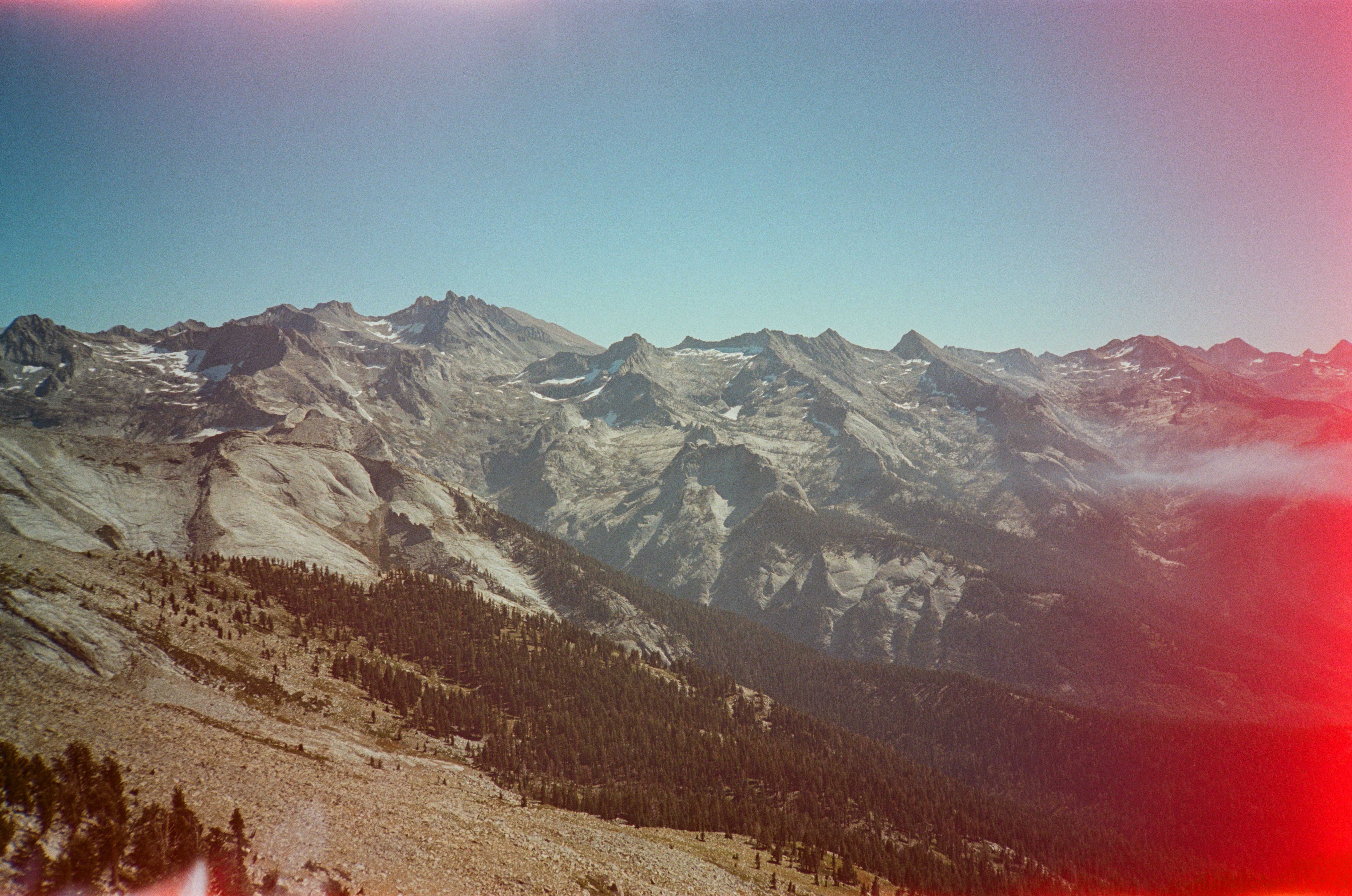
A couple hours into our walk, perplexingly, it seemed to be getting darker. I simply wrote it off as the canopy becoming more dense, and commented to Anthony “boy, sure feels like it’s getting darker.”
“Wait, you’re right! It’s the eclipse!” he shouted back. It was, indeed, a partial lunar eclipse. We were about ten minutes away from the peak of the eclipse and searched about for some sort of pinhole with which we could view the shadow of the moon covering of the sun. We sat down for our snack to view the eclipse, having found no such object. Anthony scarfed down a few Ritz crackers before handing one to me and smiling. “Look at this.” he said. The holes in the Ritz were the perfect size to show the moon’s shadow in from of the sun.
“Brilliant!” I said as we marvelled at the spectacle. Eventually, we cracked on. Anthony was beginning to slow down and he brought up the proposition of him turning around and me continuing on solo. Unfortunately (and uncharacteristically), I had done almost no planning for this trip, and was almost entirely reliant on Anthony for directions on the broader route and finer beta for the summits. We discussed all options: switching phones, SIM cards, scrawling beta on my notepad, Anthony doing a shorter trip, Anthony hanging out in the van for a few days, Anthony hitching home. We decided to climb Alta Peak together and see how he was feeling after that.
We summited Alta Peak without much issue and met a few day hikers up there. The views were lovely, as to be expected from any high Sierra peak. Anthony decided to continue on despite feeling no better than he had all morning. I was pleasantly surprised by his desire to continue. Perhaps his pity for me and my poor beta drove him onwards. Or perhaps it was the fact that he was so close to his last Emblem Peak.
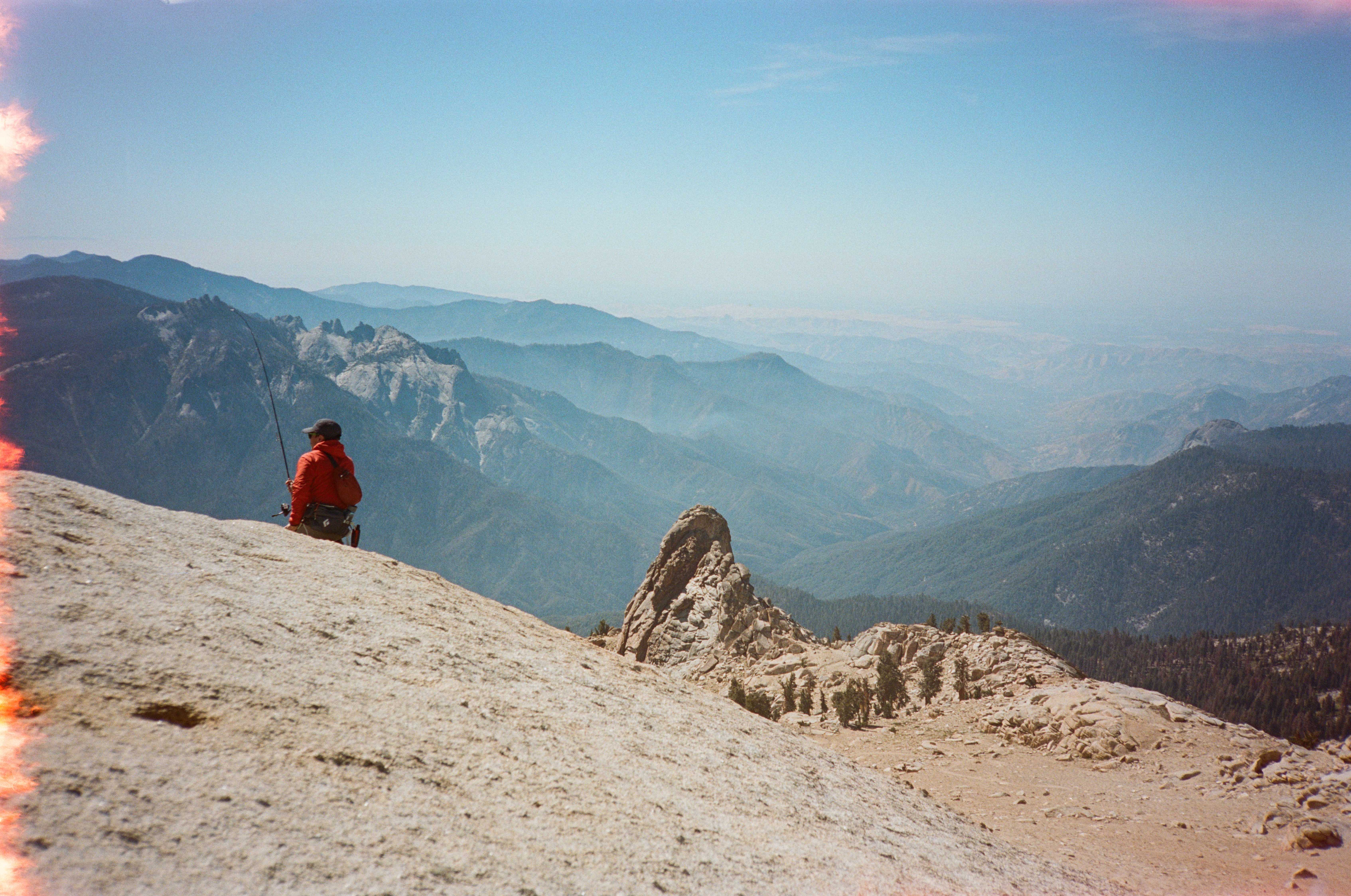
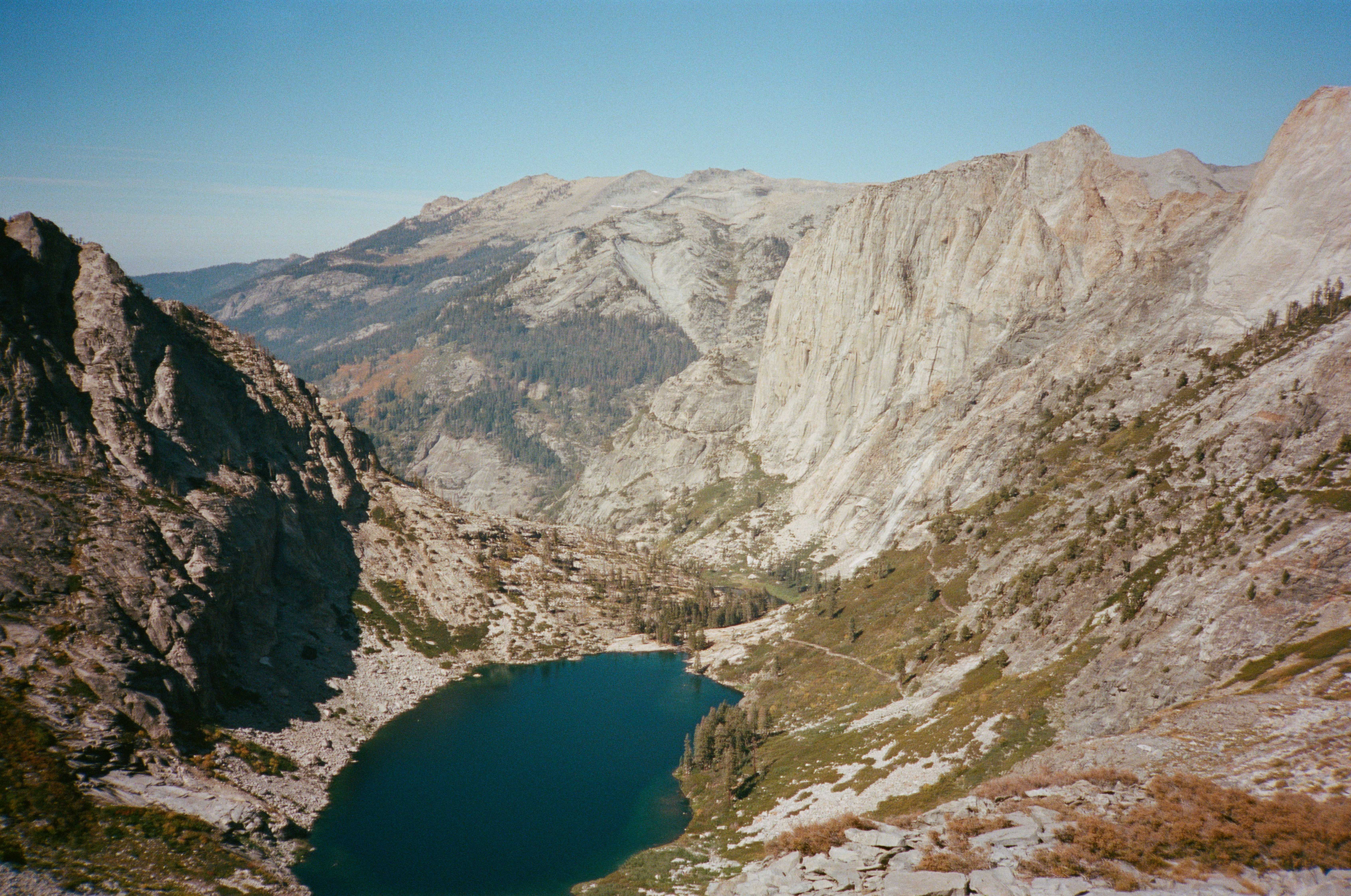
We decided to shorten our loop and beeline for Kaweah. To do this, we stayed on the High Sierra Trail and camped at the Hamilton Lakes. The next morning we climbed to Kaweah Gap and made the long traverse to the base of Mt. Kaweah, the enormous 13,802 peak that dominates this part of the range. Along the way, we set up camp and dropped most of our weight, bringing only a few snacks and some water for the climb. Soon, we were greeted by a 4,000 foot class 2 scree slog to the summit. Several hours later, we were nearly there. Somehow, Anthony remained only about 50 feet behind me the whole way, despite being in the throes of his illness. I waited for him before topping out. We climbed the last fifty feet side-by-side and then simultaneously slapped the true summit. We finished the 14ers several years apart, but finished the Emblem Peaks together. Stupendous!
Back at camp, Anthony said he wasn’t sure how he made it as he was feeling fairly horrible. But he did and that was all that mattered. We lounged around in the evening, chatting, eating, and revelling in the satisfaction of another long-time goal accomplished.
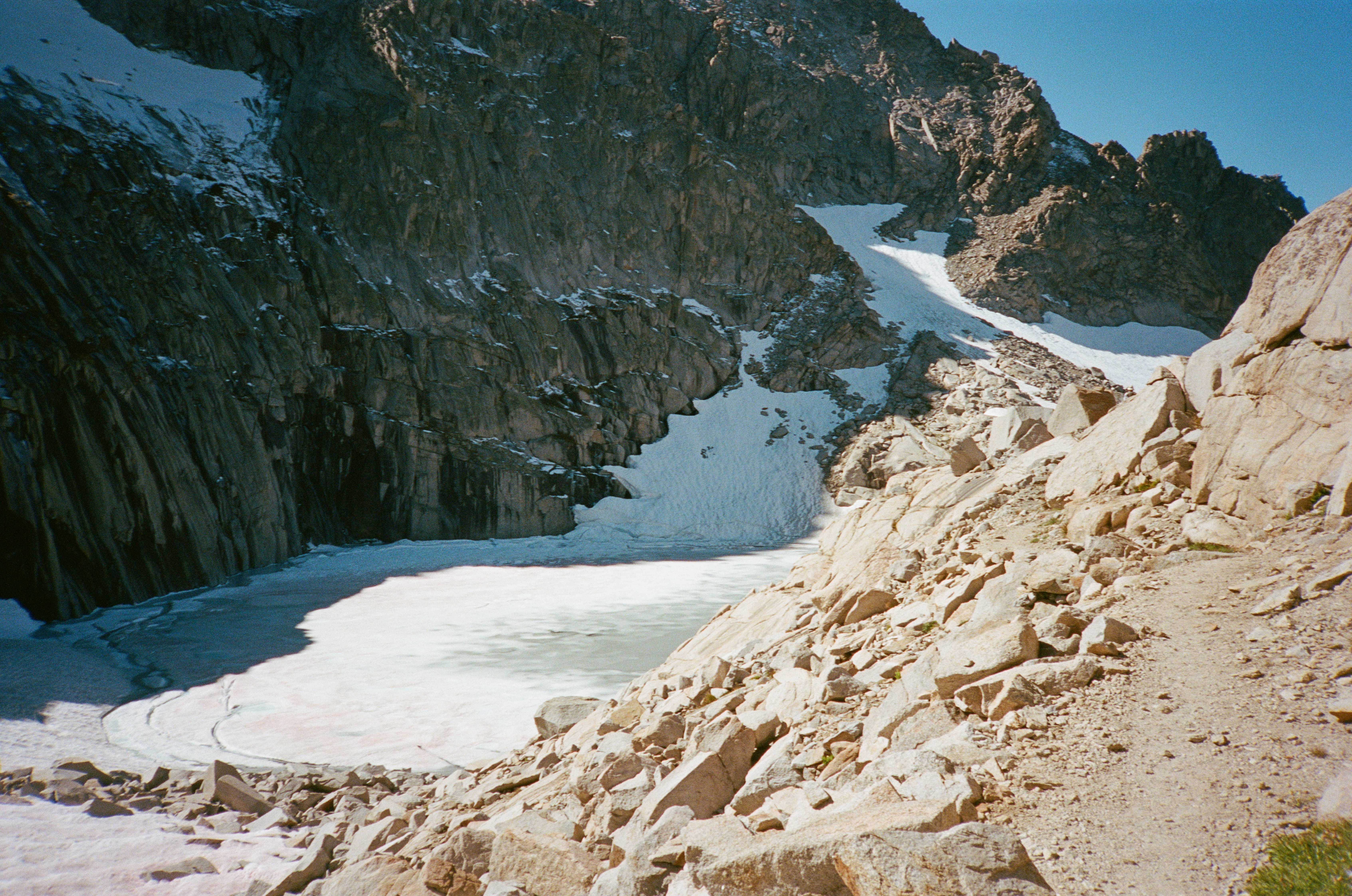
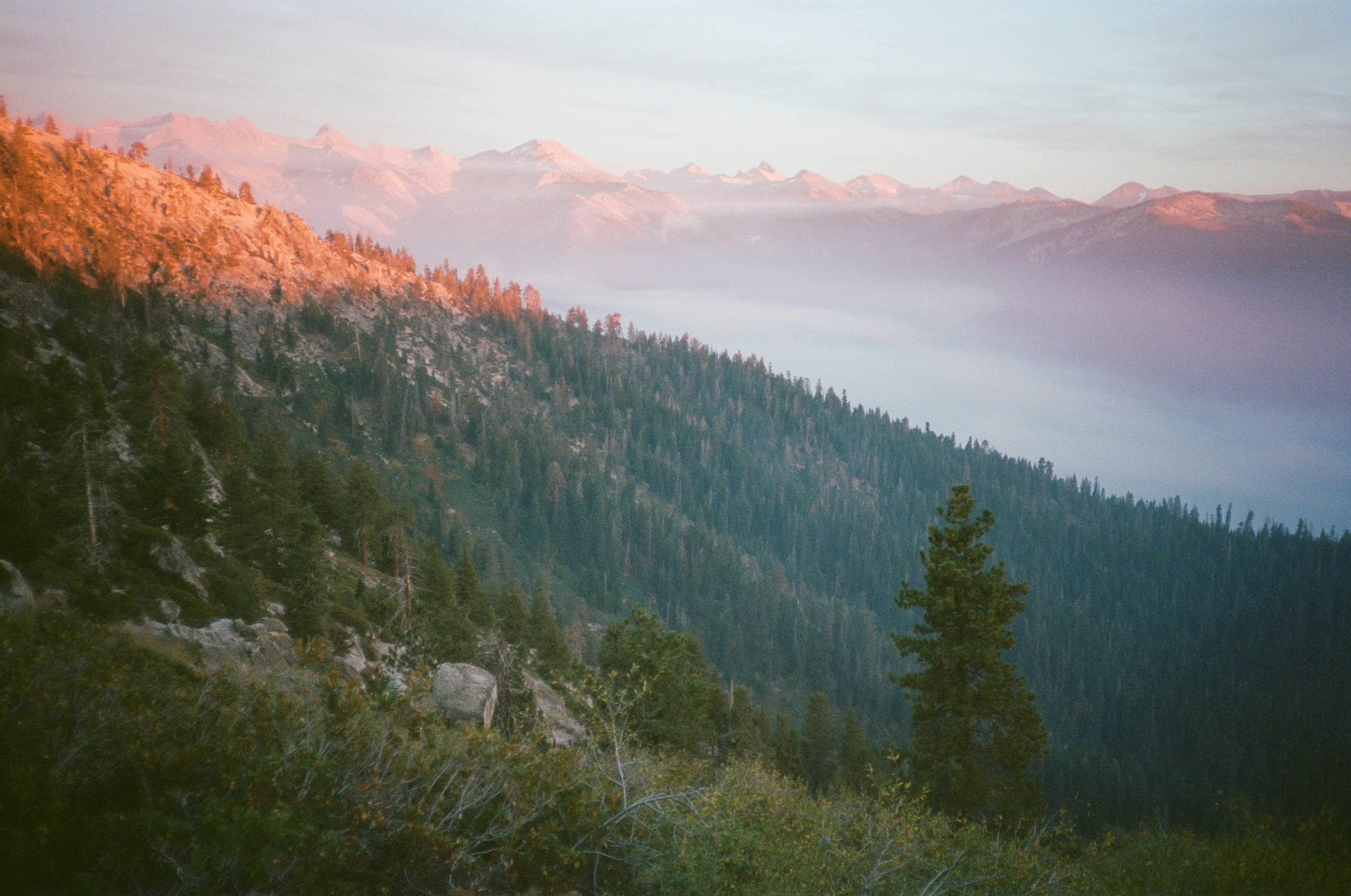
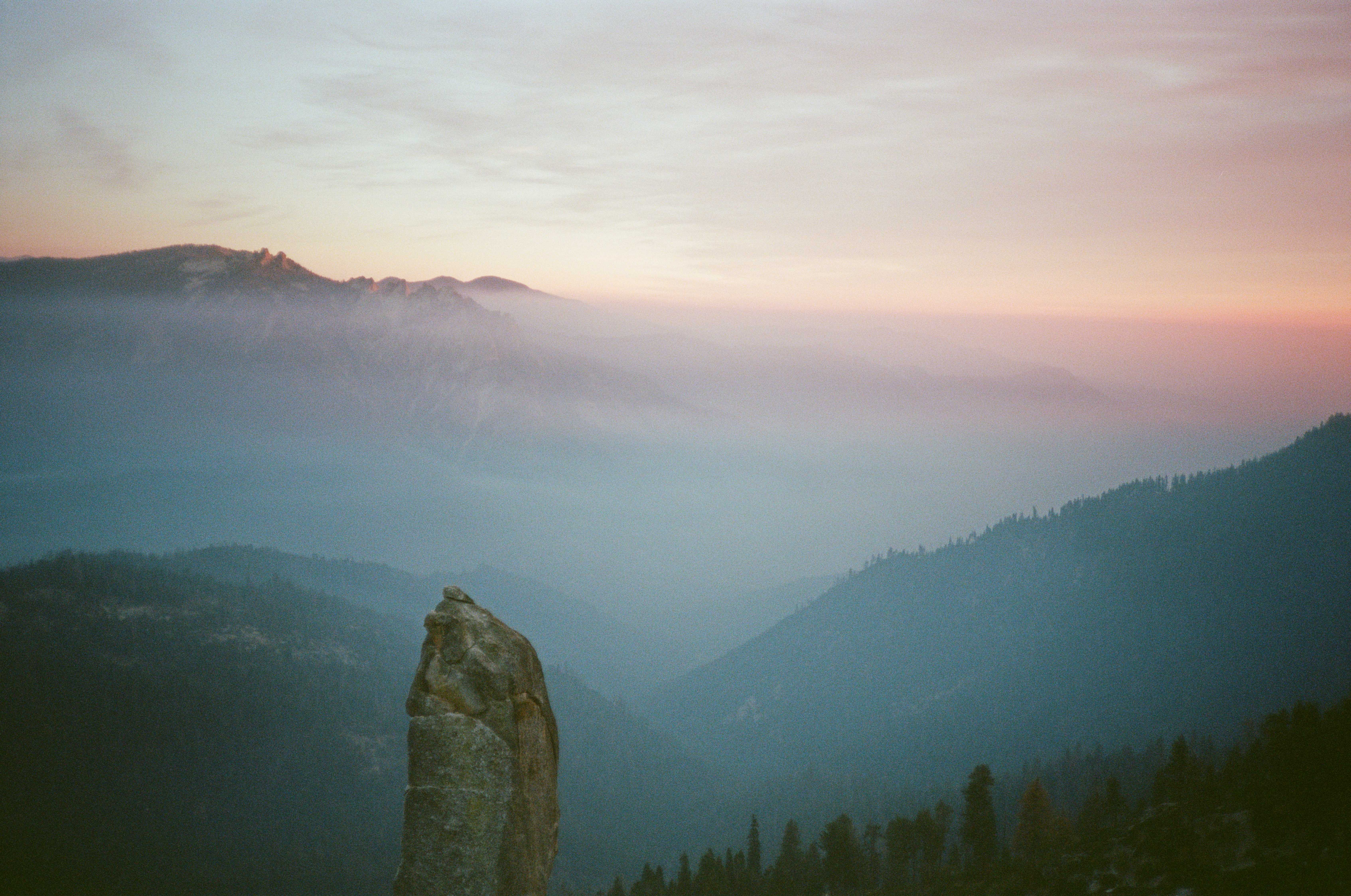
The next morning saw us up Eagle Scout Peak. It was a straightforward climb that yielded incredible views. The summit block was precipitously overhung and allowed us to look straight down to Precipice Lake. We spent twenty minutes debating whether one could base jump off of the summit before deciding to work our way back down the sandy eastern slopes of the peak. We rejoined the trail and descended to the shores of Precipice Lake. I decided against peeling off towards the Silliman Crest along the Kings Canyon High Basin Route, opting instead to stay on trail and finish the hike with Anthony. We camped at Panther Gap and were treated to perhaps the finest sunset of my young life. Each passing minute yielded a fantastic new color in the sky, a different shape in the clouds, a changing hue on the Sierra’s cliffy summits. The alpenglow was out in full force that night. I felt thoroughly grateful for another season well spent in the Sierra.
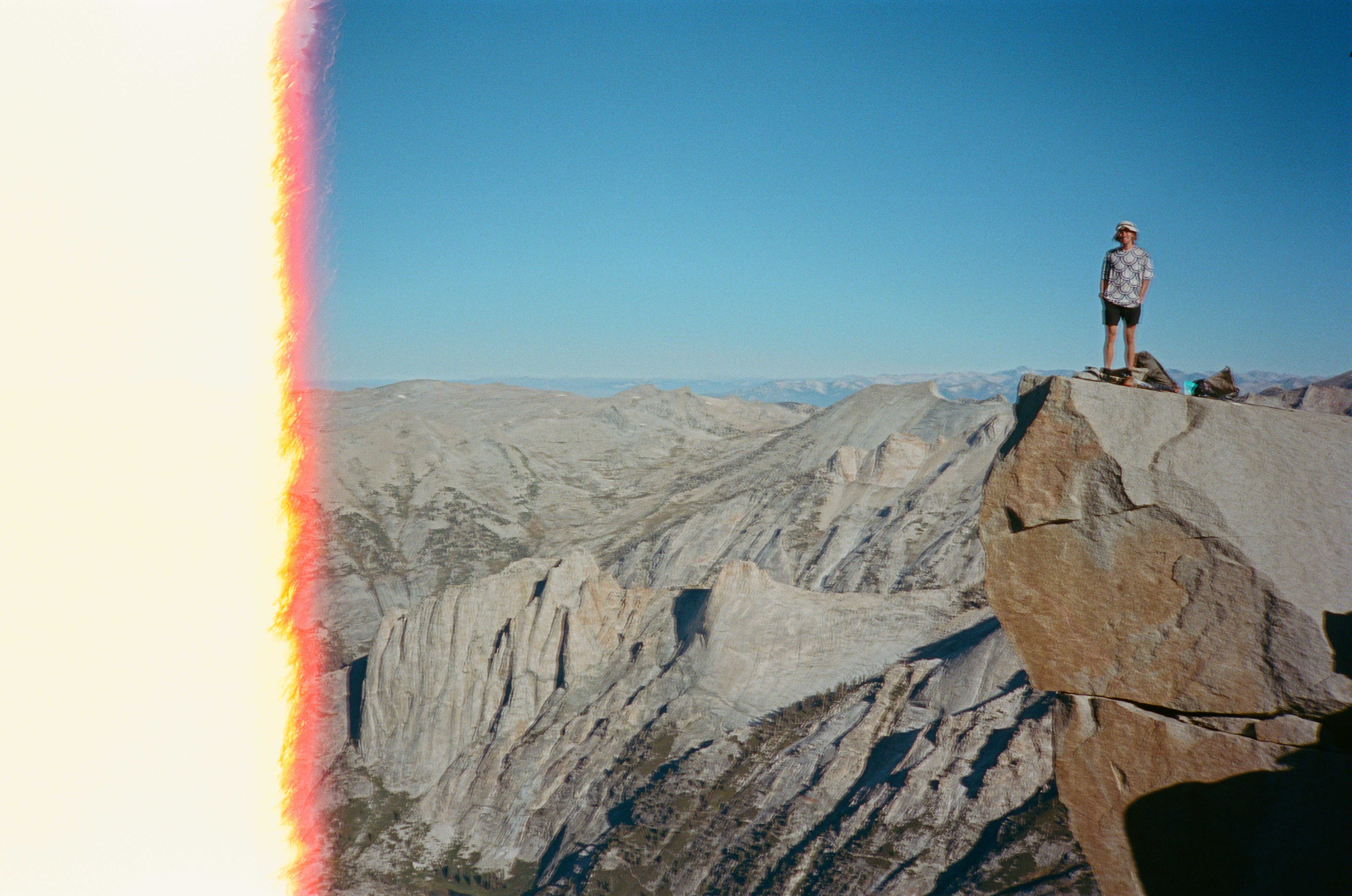
In the morning we hiked the last few miles to the car. I haven’t mentioned the weather yet, but it was cold all trip. Very cold. Some valley effect must have been at play as we descended, because, despite our lower elevation, the trailhead was the coldest part of the whole trip. We layered up at the car, made some coffee, and began our long drive back.
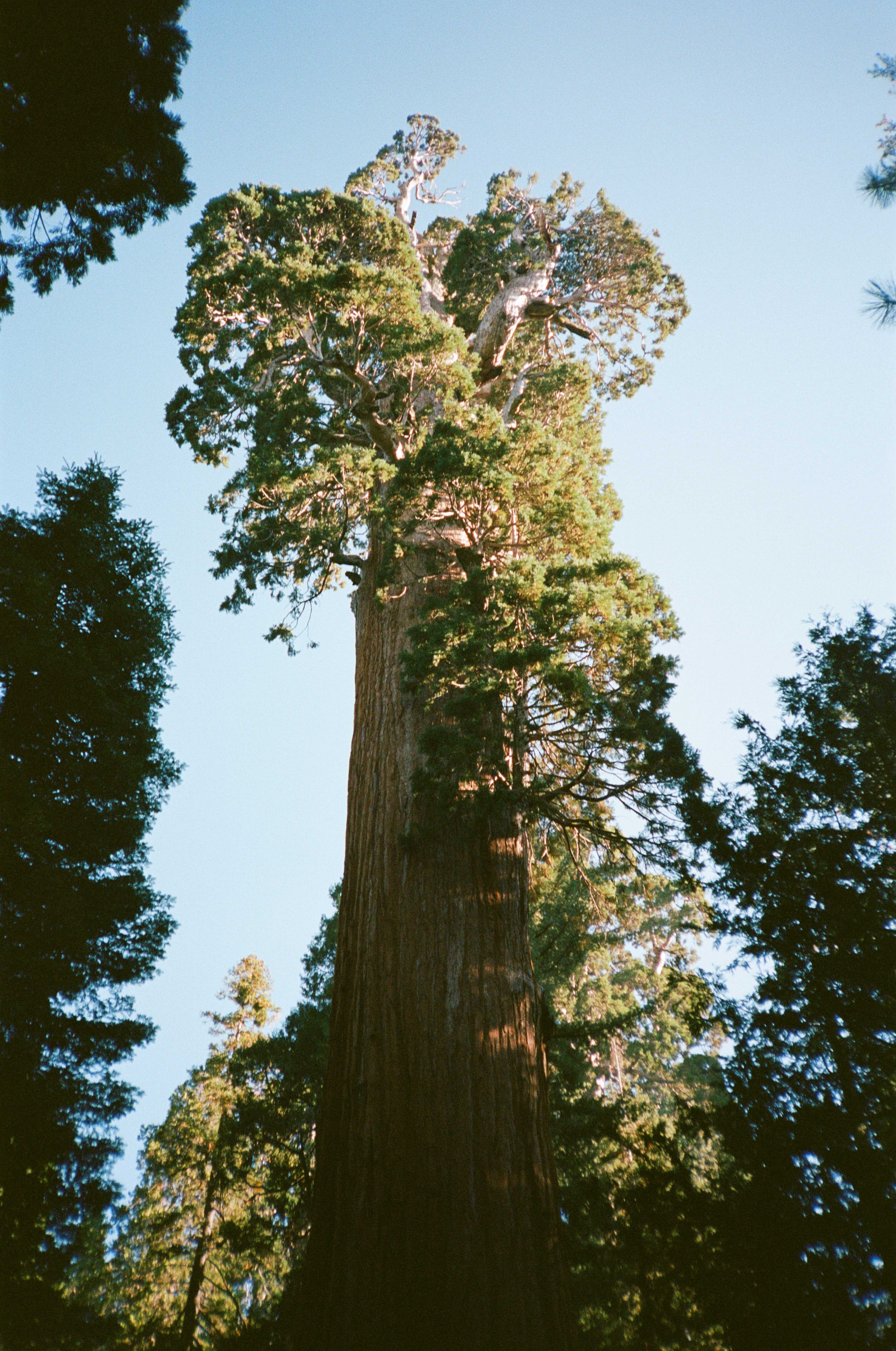
Before leaving the park, we stopped by General Grant and General Sherman, the largest tree by diameter and largest by tree volume, respectively, in the world. They were truly magnificent. Wandering through the groves of ancient, massive Sequoias was certainly the most profound experience of my year. There is a great wisdom and a great peace within those trees.
There was one last obstacle to tackle on our trip: we had to leave the national park, preferably for free. Since we entered in the dead of night there was no need to pay. But now we would have to somehow leave in the middle of the day without paying. Our plan was to shove a ton of receipts into the glovebox that we would schizophrenically ruffle through when the ranger asked for our proof of payment. A small fight between Anthony and I would ensue about who lost the receipt, and the chaos would hopefully evoke a sympathetic response from the ranger, who would then allow us to leave. Our intricate plan was rendered unnecessary as there was no ranger manning the exit station.
We made it home, recounted our trip to Lexi, and slept soundly. The next morning, I took Anthony to the bus station where we bid each other adieu. This would be the last time I saw Anthony before he set out for an adventure to the southern tip of South America—a trip he would embark on by foot, by bus, by hitch, by train, and by boat. The last I heard from him, he had just secured a boat hitch along the western coast of Costa Rica. This will hopefully get him safely south of the Darién Gap. I hope he is back for next year’s Sierra season.