Mount Florence
August 2024
Mt. Florence is hard to get to from any direction. The shortest approach involves a 27 miles round trip with roughly 7000 feet of climbing. This “short” approach is the route I chose for my one day ascent of the peak. I started out from the Lyell Canyon trailhead around 5:30 a.m.. After about a mile, I peeled off to Rafferty Creek. I would follow this trail for another ten or so miles, over two passes, before peeling off-trail for Mt. Florence’s basin.
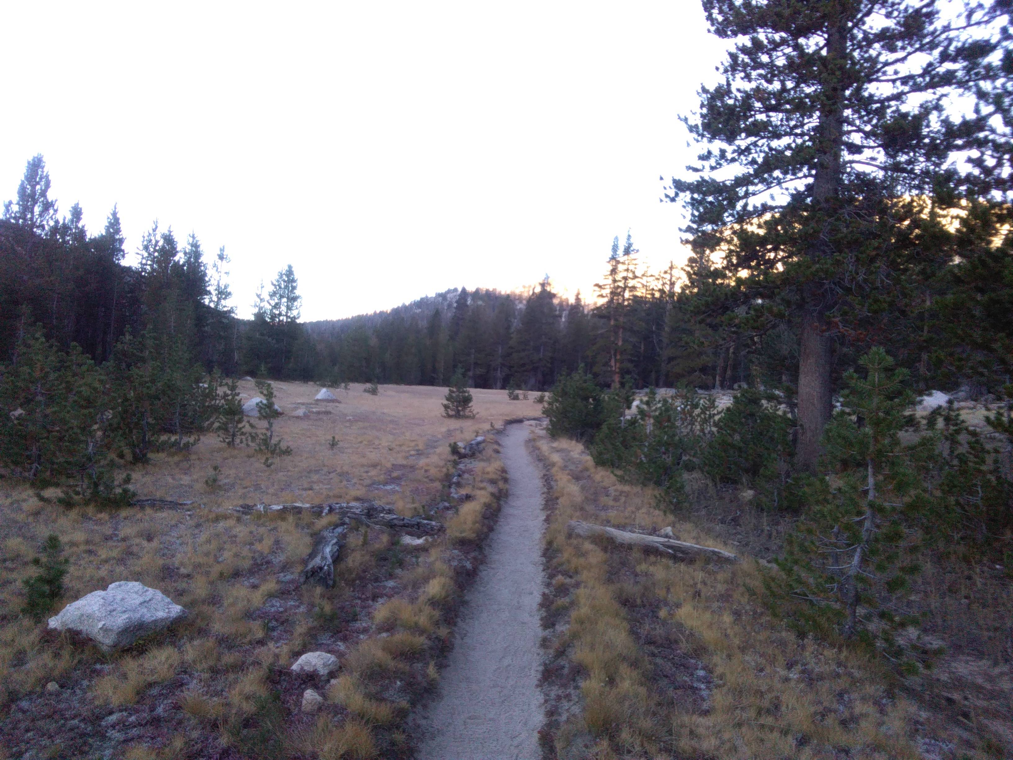
My location never loaded on my phone, so I navigated mostly by feel and memory throughout the day. I was almost at the Vogelsang High Camp by the time the sun rose over the range. I took some layers off and let its soft morning rays warm me up. Tuolumne pass came and went, as did Vogelsang. I dropped into the Lewis Creek drainage, followed the trail a few minutes past the Bernice Lake trail junction, and then wandered into the forest cross-country. I had a vague notion for what I was shooting for. I think it took a suboptimal route, but it eventually dumped me into the basin I needed to get to.
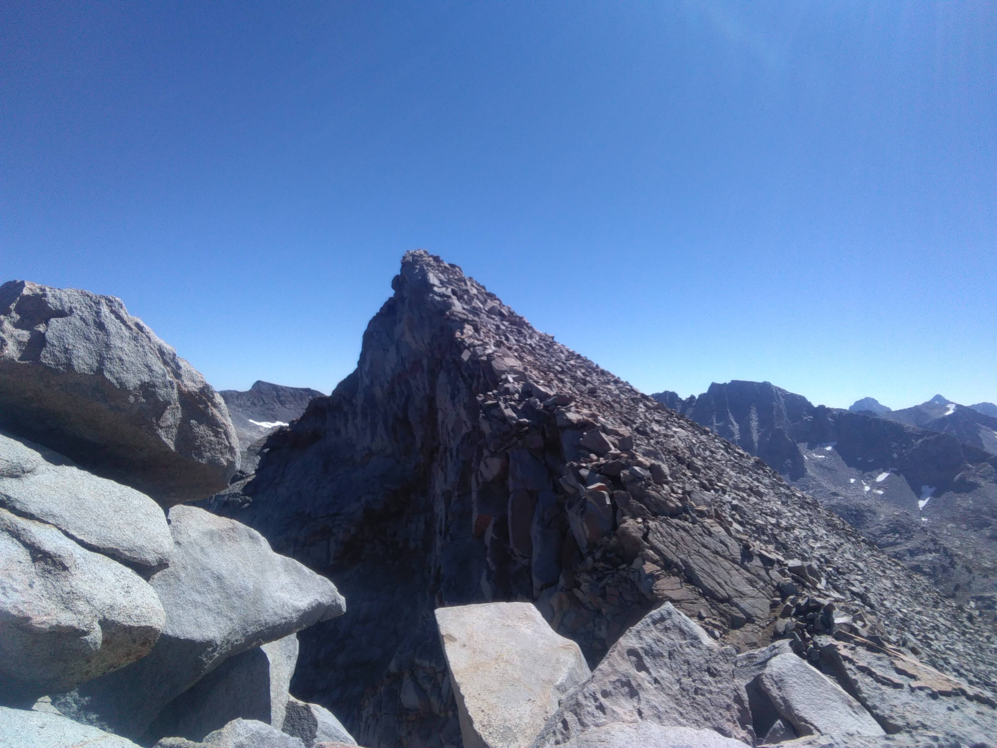
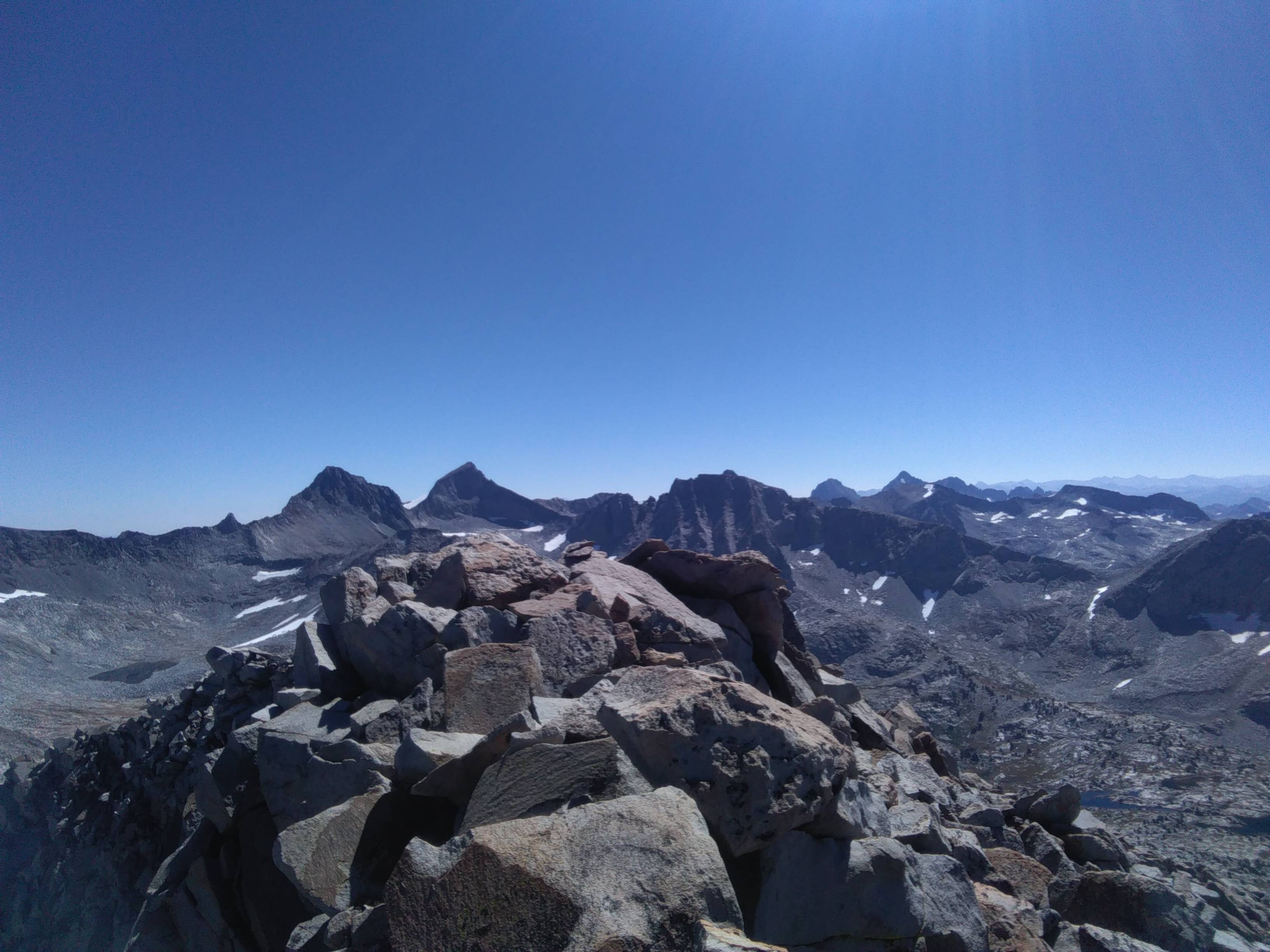
Some talus scrambling on HUGE boulders delivered me to the base of a class 2 chute to the summit ridge of Florence. I had a few short glimpses of the intimidating summit during the approach, but it disappeared from view entirely as I headed up the steep, scree-filled chute. Once on the summit ridge, I still had a dishearteningly long climb ahead. The false summit was over a quarter mile of tedious boulder hopping away. Eventually, I crested the false summit and the true peak didn’t look too far off. Easy but fun boulder hopping saw me to the summit, which offered striking views of the range. MaClure and Lyell shot up right in front of me, and it even looked as if one of Florence’s ridges connected right up to the two massive peaks.
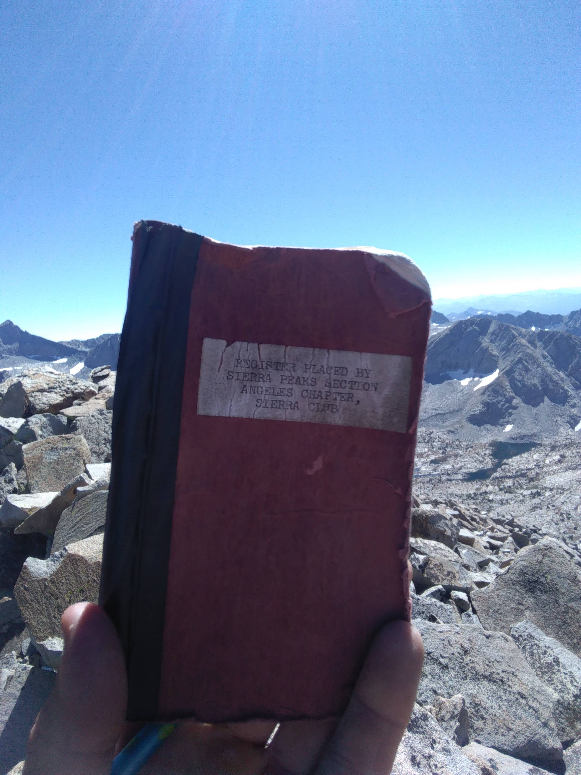
I thumbed through the old summit register, impressed with how often people scale this relatively remote peak. I guess it is prominent and pretty enough to attract a steady stream of intrepid Sierra hikers. I started trotting back down the mountain at a good clip, knowing that I still had a very long hike ahead of me. I took roughly the same line to get back to the trail, finding familiar landmarks like a small pond here and a big downed tree there. I will admit that I felt a mild degree of anxiety about whether or not I would find the trail, a two foot wide line of dirt cut into the otherwise very wild wilderness, but I knew where Vogelsang Pass was and could easily get there entirely off-trail if need be. To my relief, I all of a sudden came up on the trail, and the serious route finding for the day was over. Several hours of rhythmic hiking deposited me back to the car where I sorted gear, ate food, and set off for home.