Mount Warran and North Peak
August 2024
After a successful ascent of Tenaya Peak with Zach, I headed east out of the park to get some sleep for Mt. Warren and potentially North Peak the next morning. I slept near Ellery Lake off 120 and woke up around 5:30 a.m. to set off for Mt. Warren. This is an obscure peak with a seldom trafficked route starting at an unmarked trailhead on the 120.
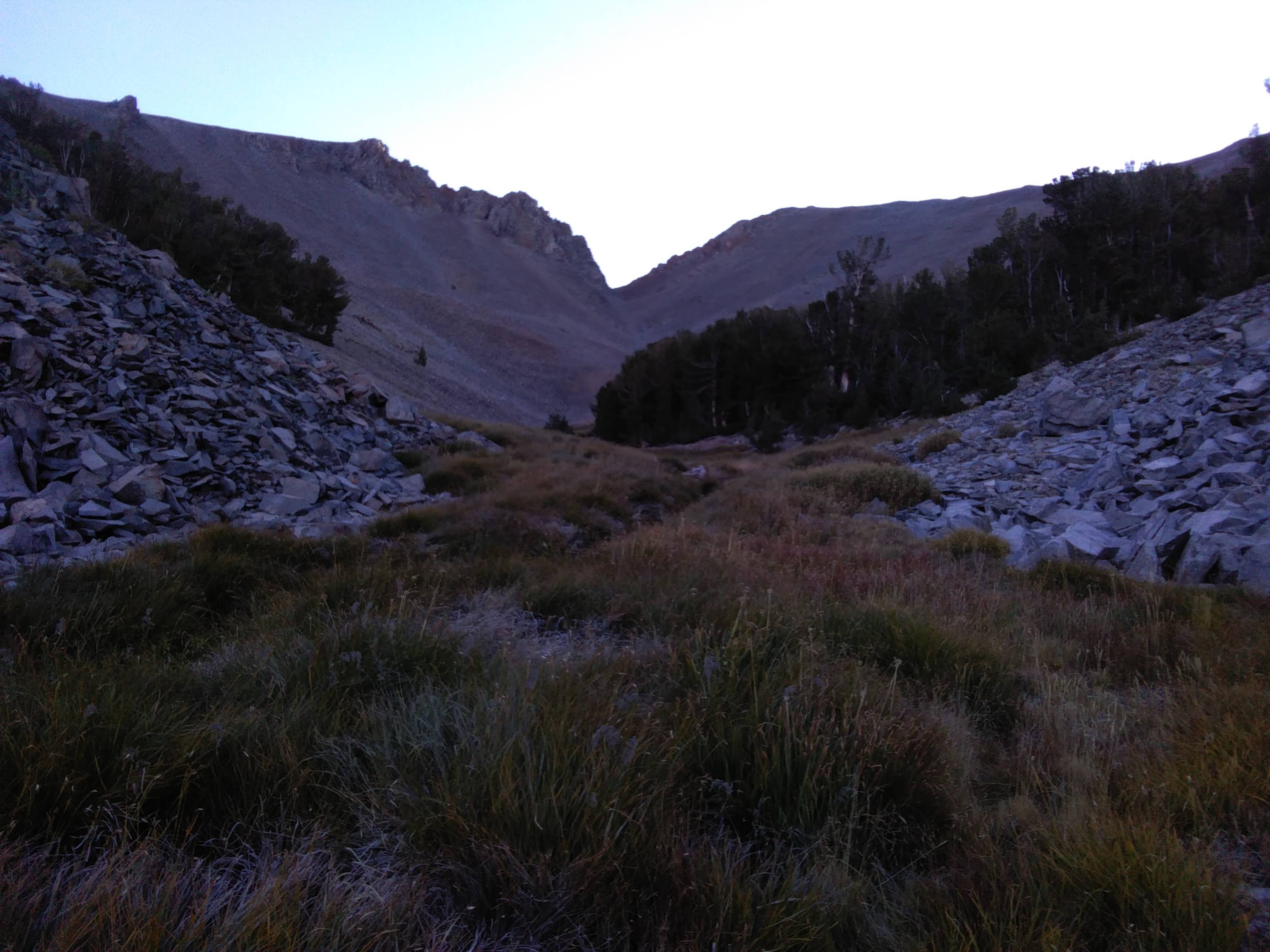
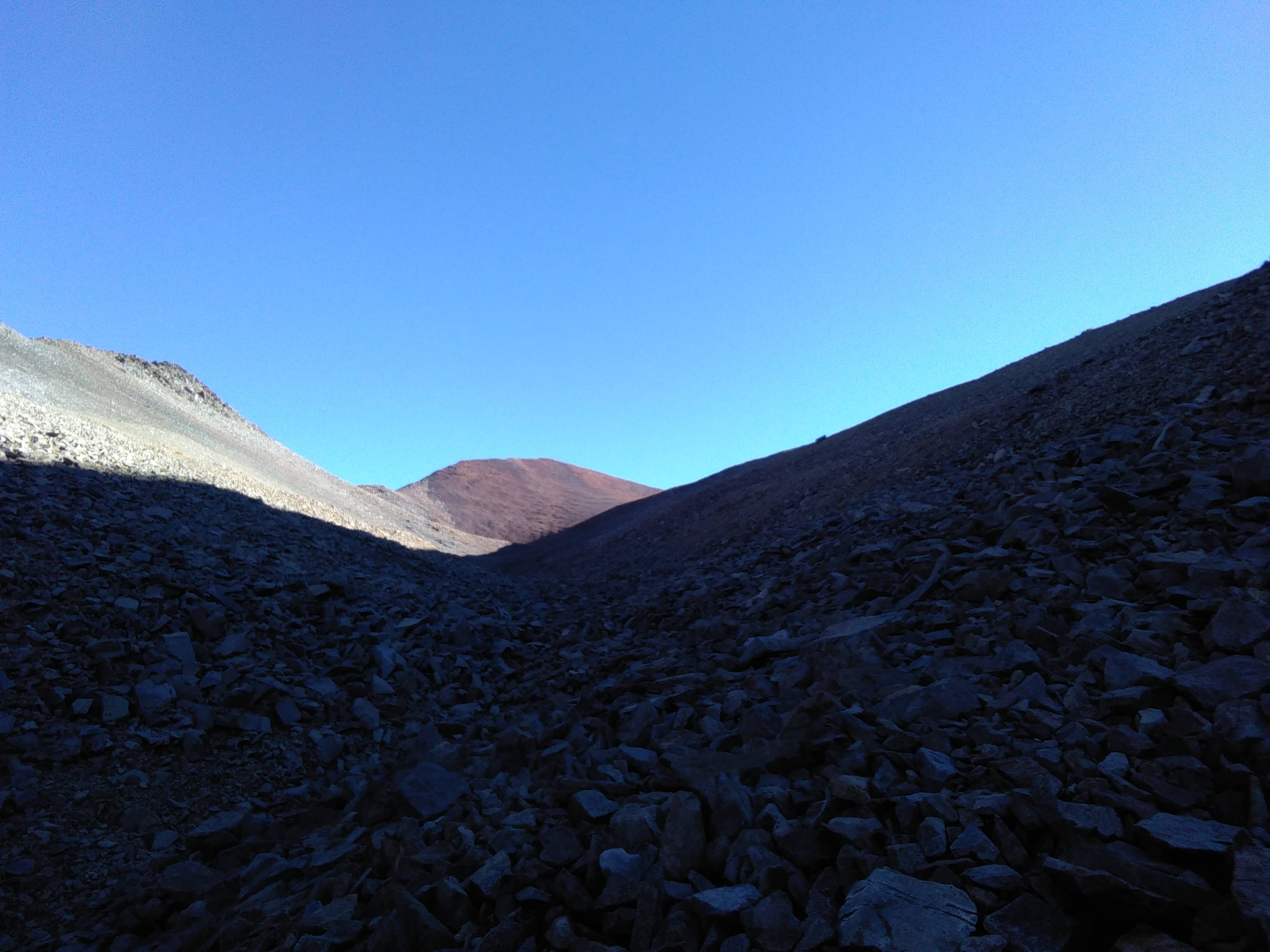
I strolled up an abandon 4x4 trail, past some old campsites, and eventually found myself in a marshy meadow. It was very cold and I did not want to get my shoes soaked, so I hung right and paralleled the meadow in the forest fifty or so feet up. Eventually, I made a hard right up a drainage to an even higher meadow. Fortunately, this second one was comprised of mostly dry grass, which made the cross-country travel a snap. Yet another drainage, this one filled with lots of talus to slow progress, took me to the summit ridge. From there, it was an easy stroll to the top.
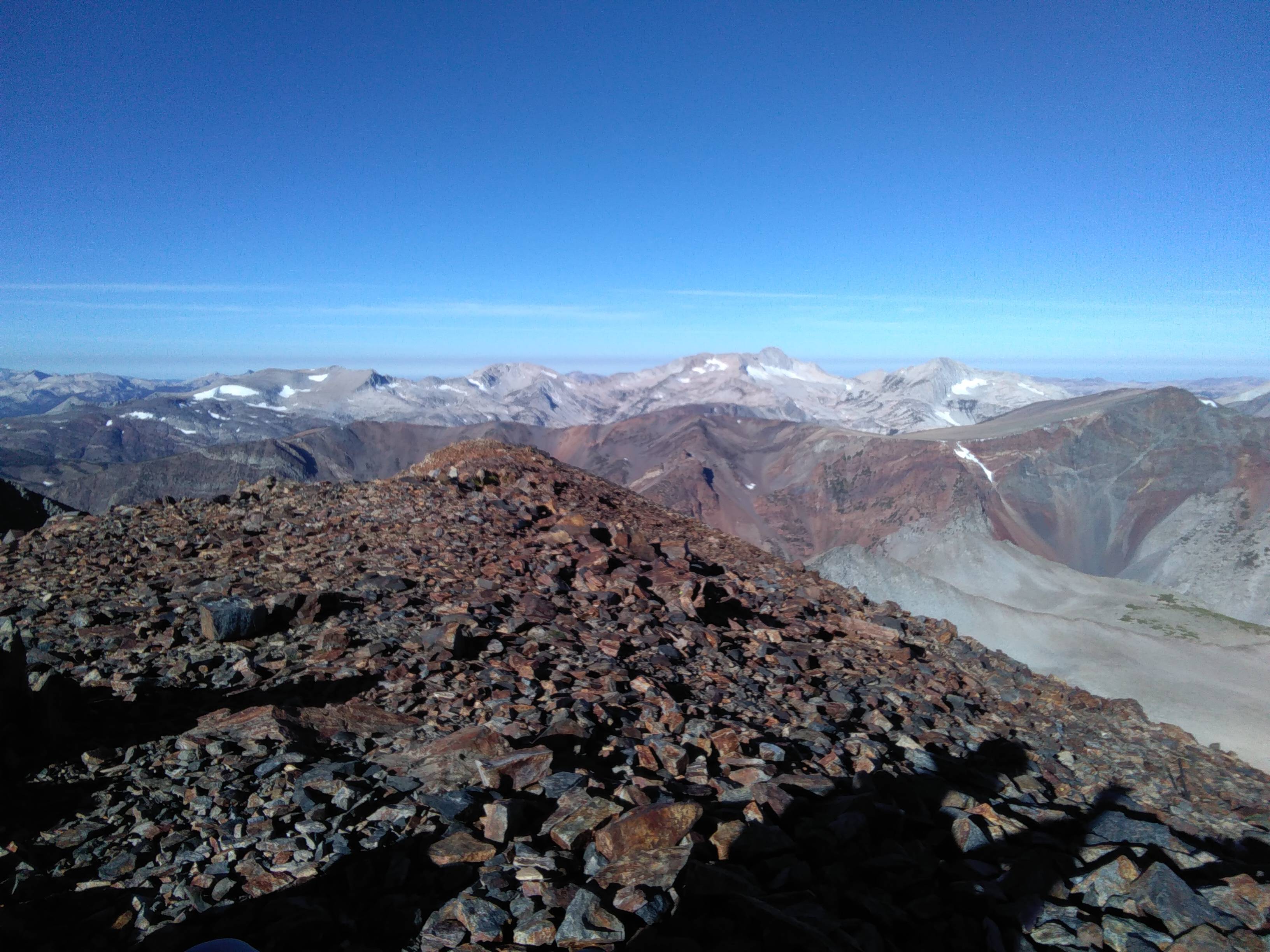
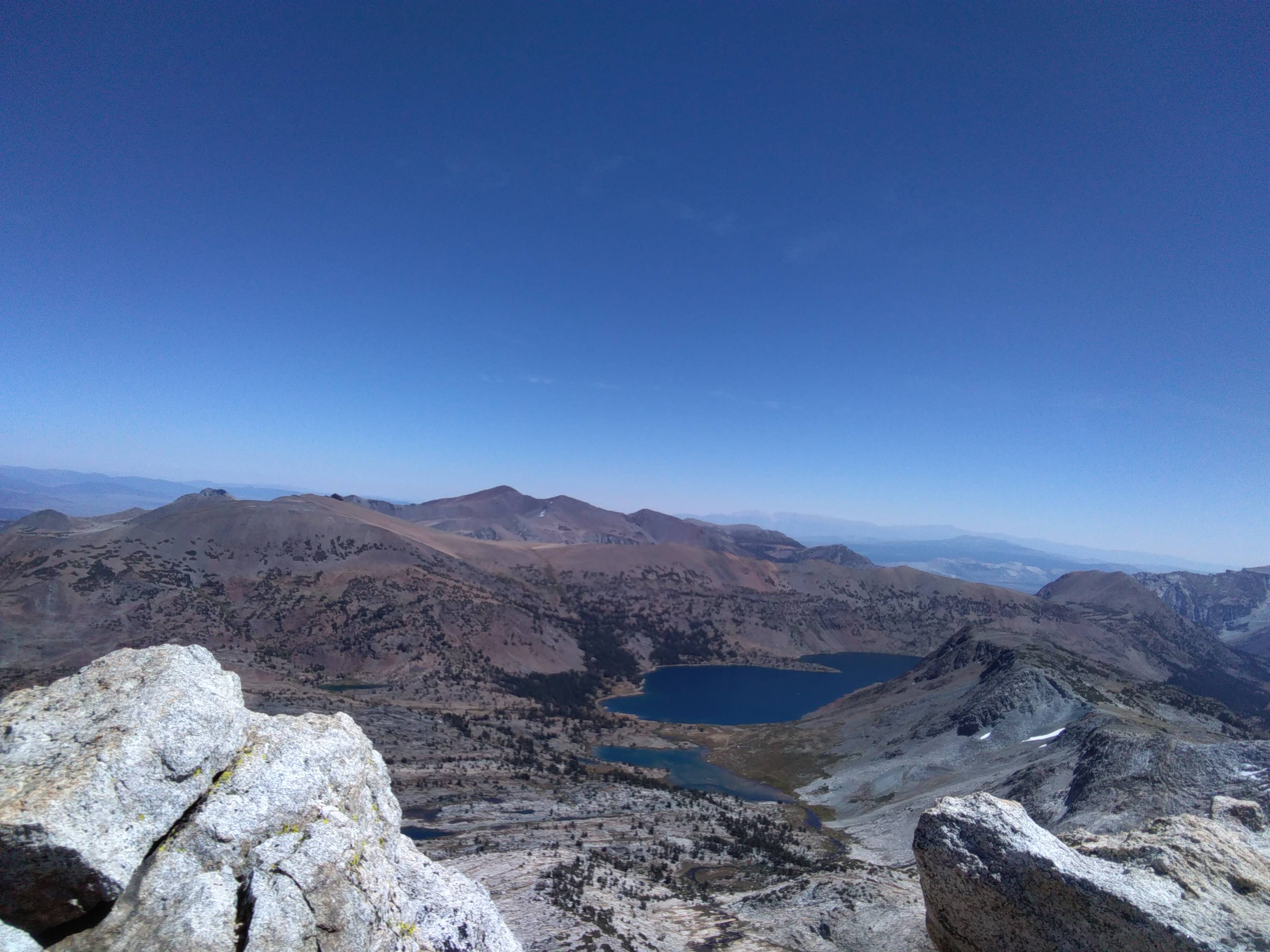
The views from the top were stupendous. Mono lake dominated the foreground to my east, with the Glass Range and the Whites shooting up behind it. To my north and west, I had great views of a section of the Sierra High Route which I had hiked a few years back. North Peak stood menacingly to the west, a peak which I hoped to climb later that very day if time permitted. Standing on Warren, it seemed impossible that one could reach both peaks in a day, but they really are quite close. I signed the summit register, noting that Noe had climbed it just a few weeks back.
Reversing my route saw me back to the car in no time, and it was only 10 a.m. when I returned. It seemed like a no brainer to climb North Peak given how much daylight I had left. So I drove fifteen minutes or so to Saddlebag Lake, parked at a beautiful trailhead, and cooked a proper breakfast. I repacked my backpack with snacks, made a coffee, gulped it down, and started hiking along Saddlebag’s long and circuitous shore. I peeled up to Greenstone Lake along a very nice trail, which took me all the way to the basin below North Peak.
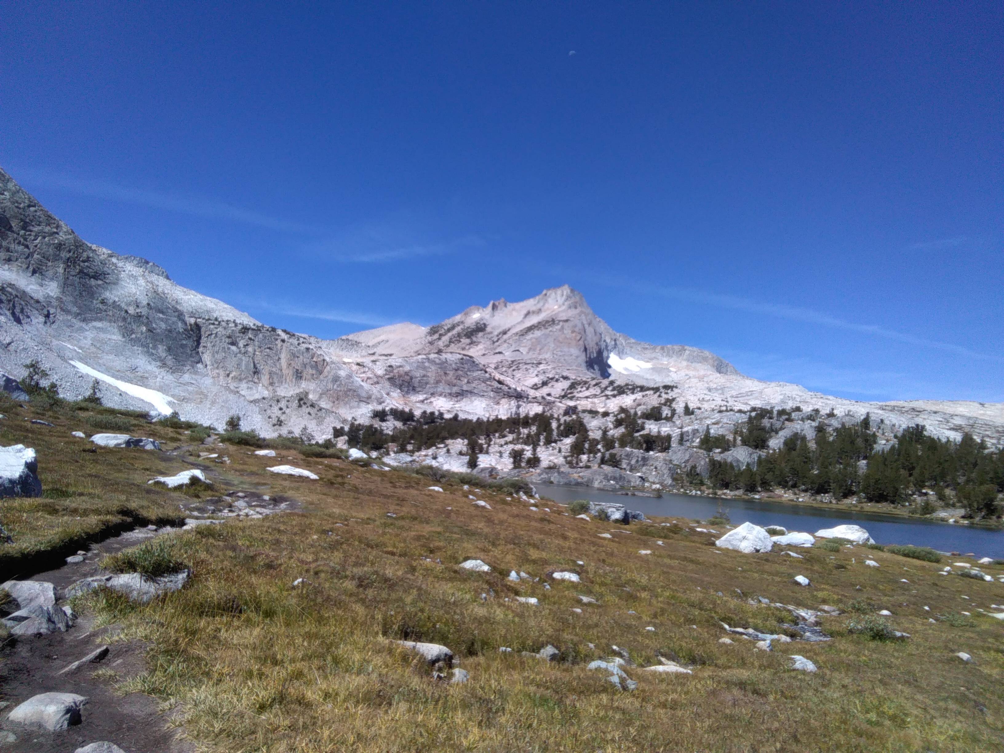
The peak looked extremely menacing from the approach, and my basically nonexistent beta certainly made me feel humble before its sharp granite walls. I had read somewhere that a chute on the southeast face of the peak goes, so I tried to look for the nicest looking chute and just started sending it up. Before long, I was on some loose class 2, maybe 3, terrain that gave me slight pause. But it never got much worse and eventually eased up as I drew near the summit ridge. Once on the ridge, it was a quick jaunt to the summit, which offered striking views of the range. For the minimal effort required to reach its summit, North Peak offers some of the greatest views of the high Sierra in my opinion.
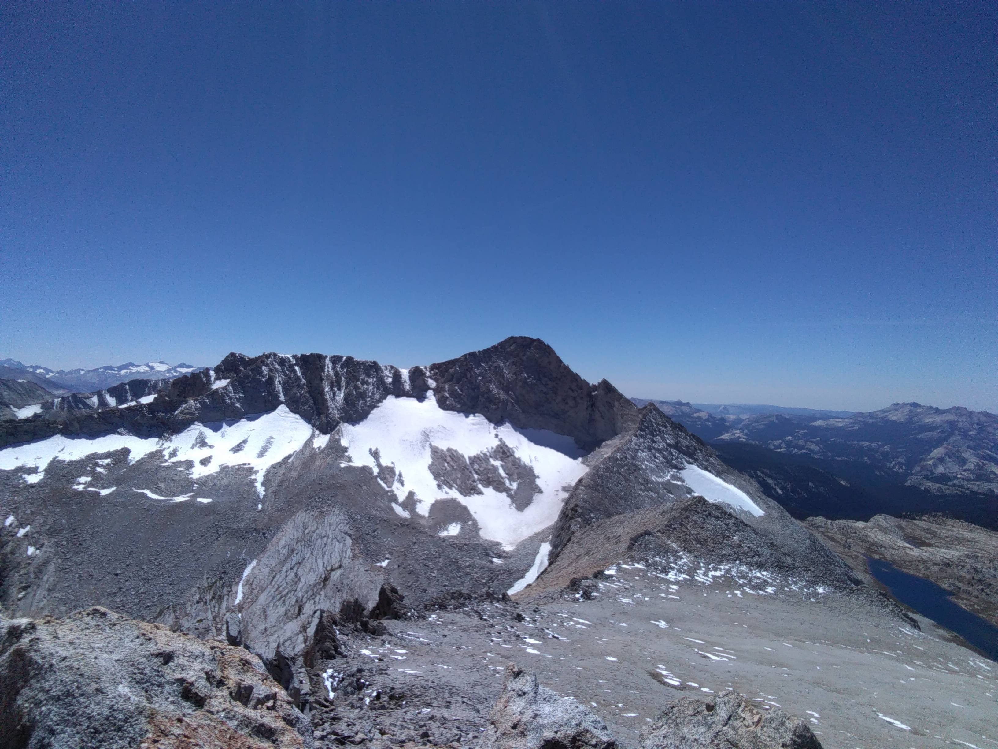
I signed the register, inspected the impossible looking North Ridge of Mt. Conness to the south, and hoofed it back down towards the car. I slowed it down a bit on my walk back because the setting was just so beautiful, but still managed to make it car-to-car in under three hours. At the car I read, sorted gear, napped, and then headed towards the park. Just outside the park entrance, I made some dinner and waited for the rangers to clear out for the night. I slipped into the park after dark and got some sleep for what would be a much bigger day.