Sierra High Route: Part 1
August 2017
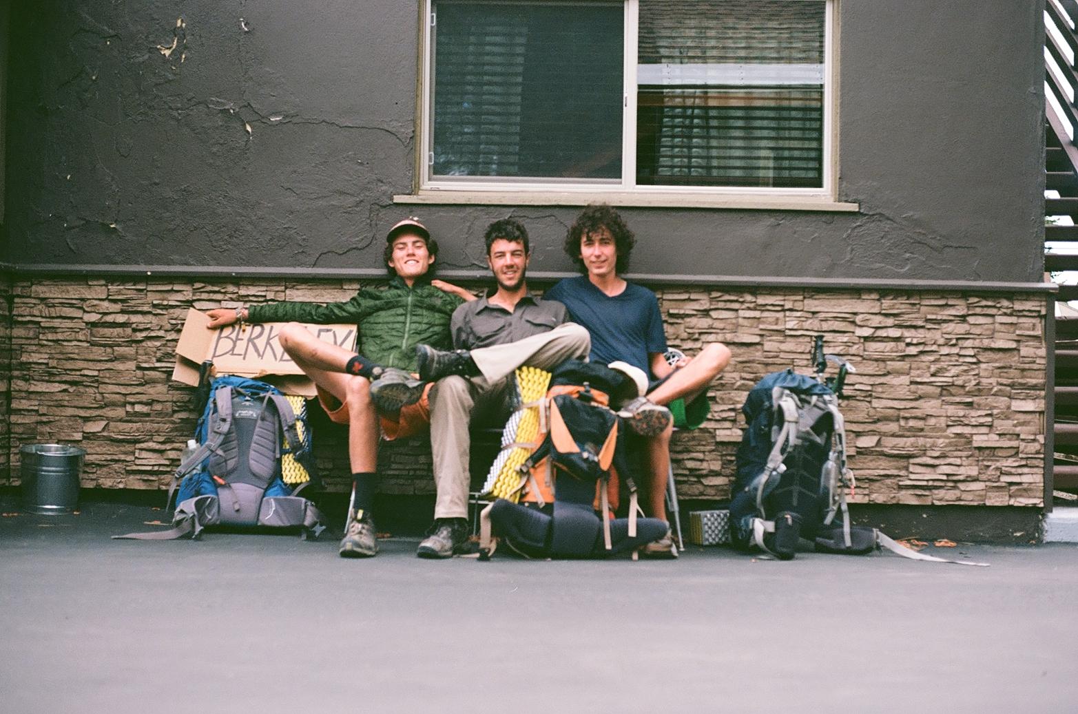
Anthony had the Sierra High Route (SHR) in his sights for the summer of 2017. He asked me to join. I obliged. This would be by far our most ambitious trip yet—over 200 miles deep in the Sierra, mostly consisting of difficult off-trail terrain. I was down in Mexico earlier that summer with my buddy Dan who upon hearing about our plans asked if he could join. We said we were happy to have his company.
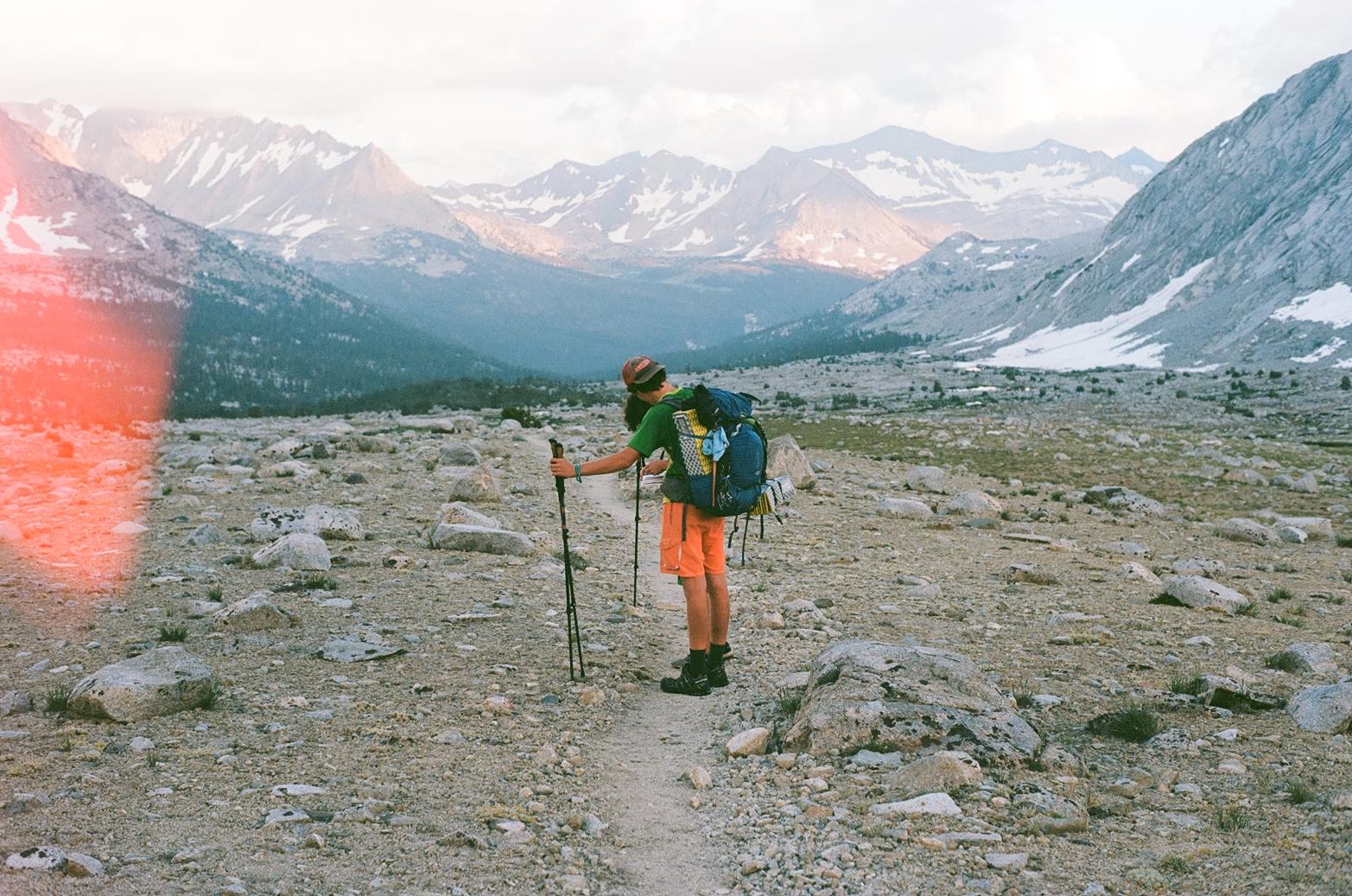
And so we did some planning, gathered up the necessary gear, and anxiously waited for our start date to arrive. This was a glorious time in our lives when using GPS devices was basically unheard of and so Anthony accrued about six paper maps as well as Steve Roper’s book detailing the route. These maps, along with a compass, would see us through the journey. Not having any digital technology while out in the backcountry—especially when off-trail deep in the wilderness—engenders a feeling of unparalleled freedom. A feeling, I fear, we are on the precipice of losing permanently with the increasing ubiquity of digital technology’s pervasiveness, even in the wilderness.
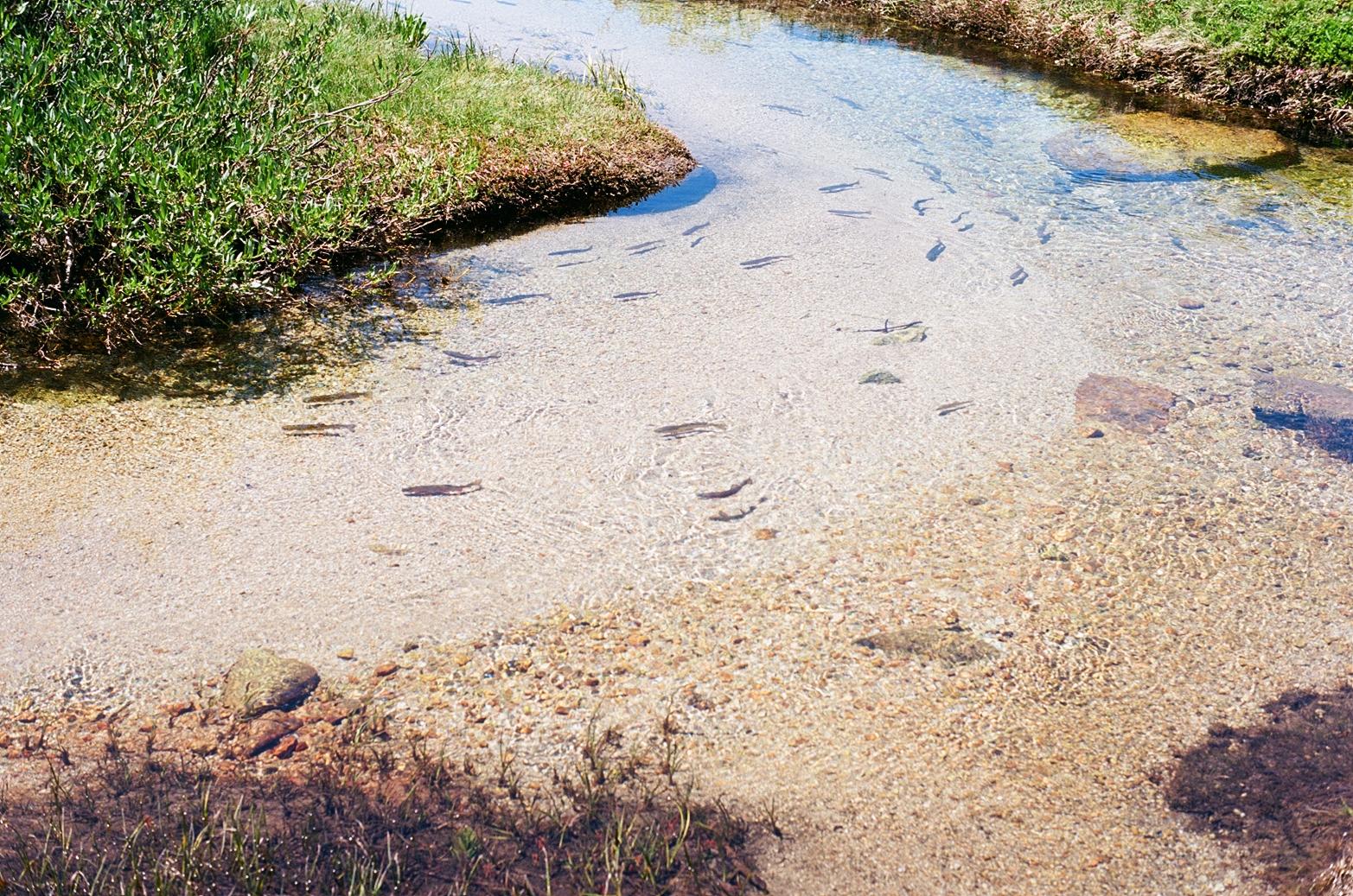
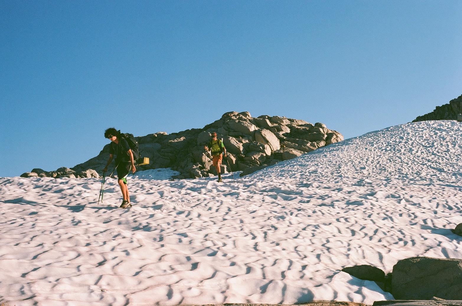
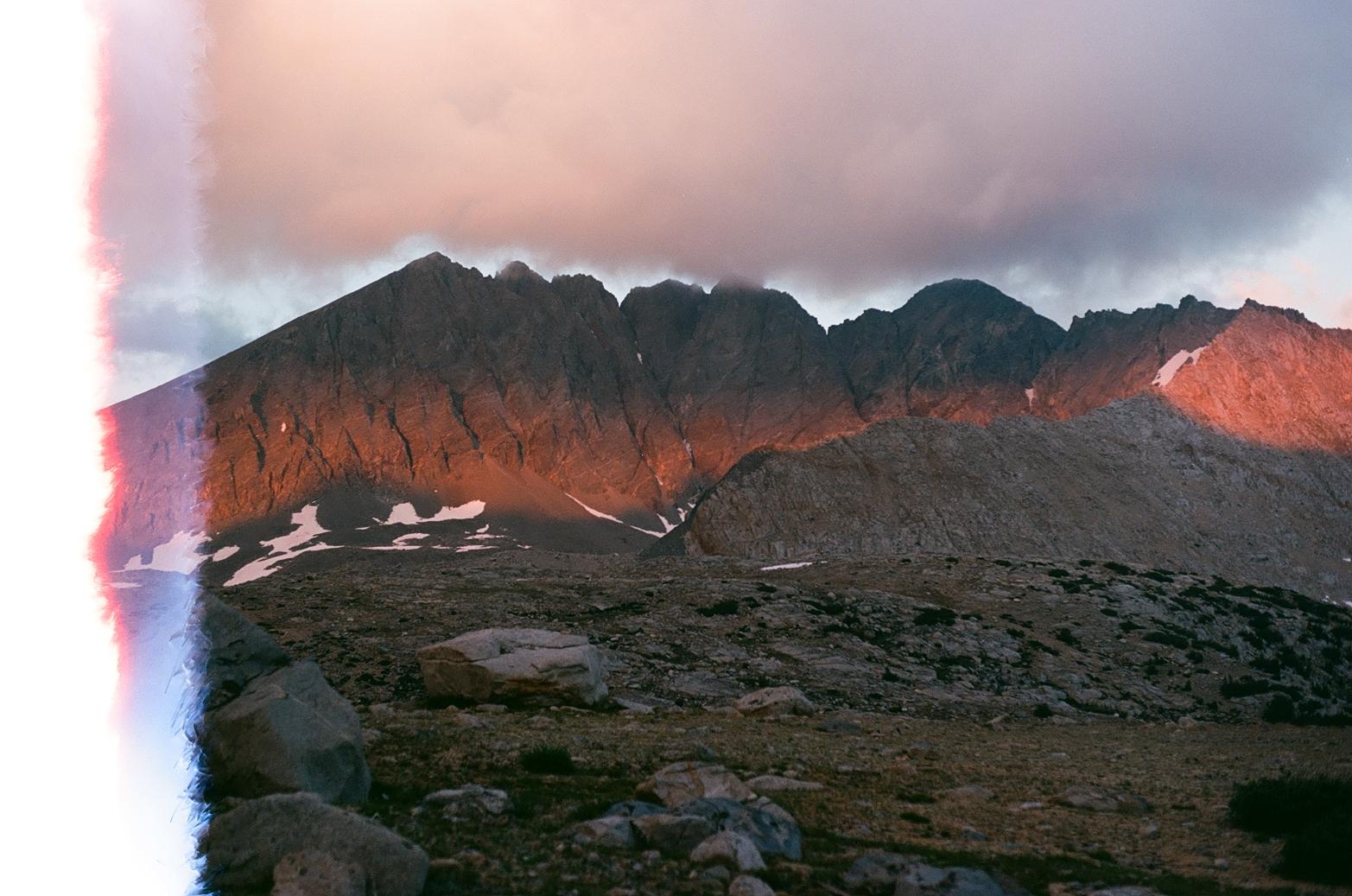
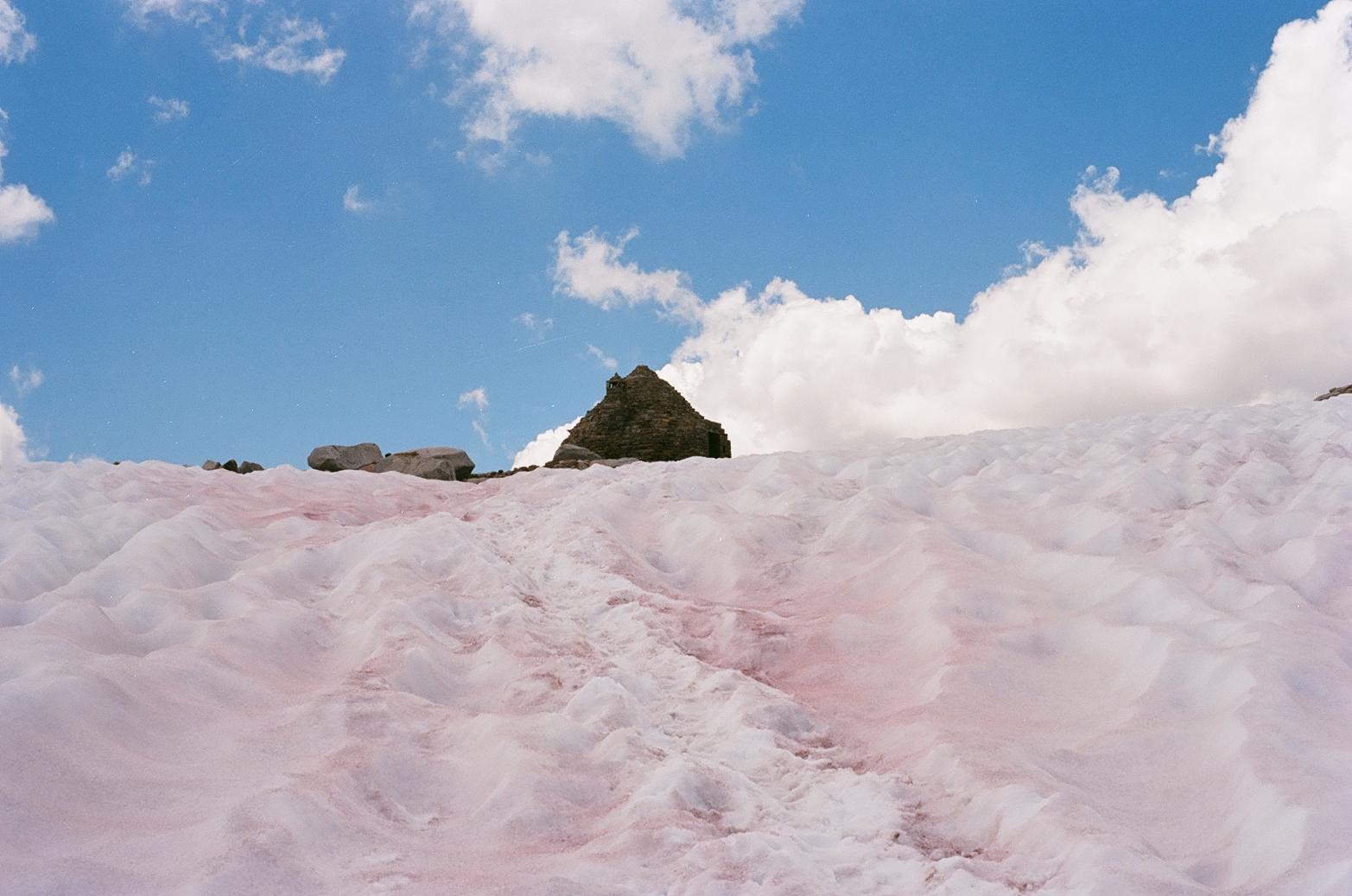
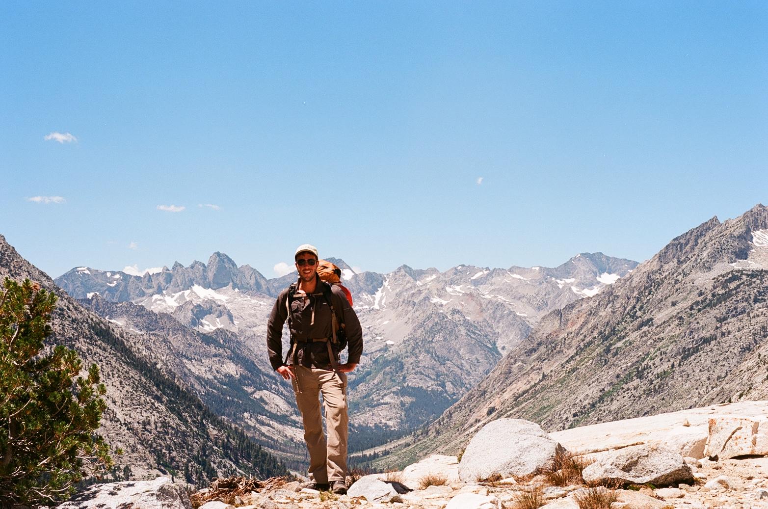
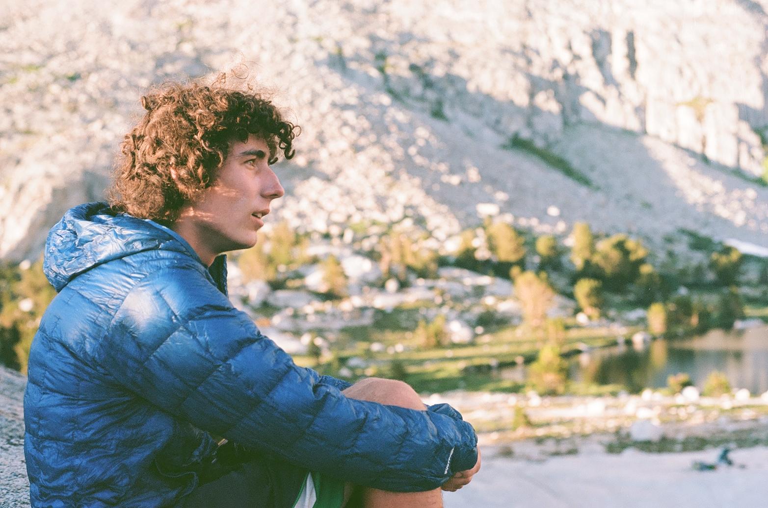
It is now 2023 at the time or writing, and so all the fine details of the trip have escaped from my memory. In lieu of my normal trip reports, filled with all the minutiae of the route, the sunrises, the peaks, the people, this trip report will be largely comprised of photos that Dan took on his film camera.
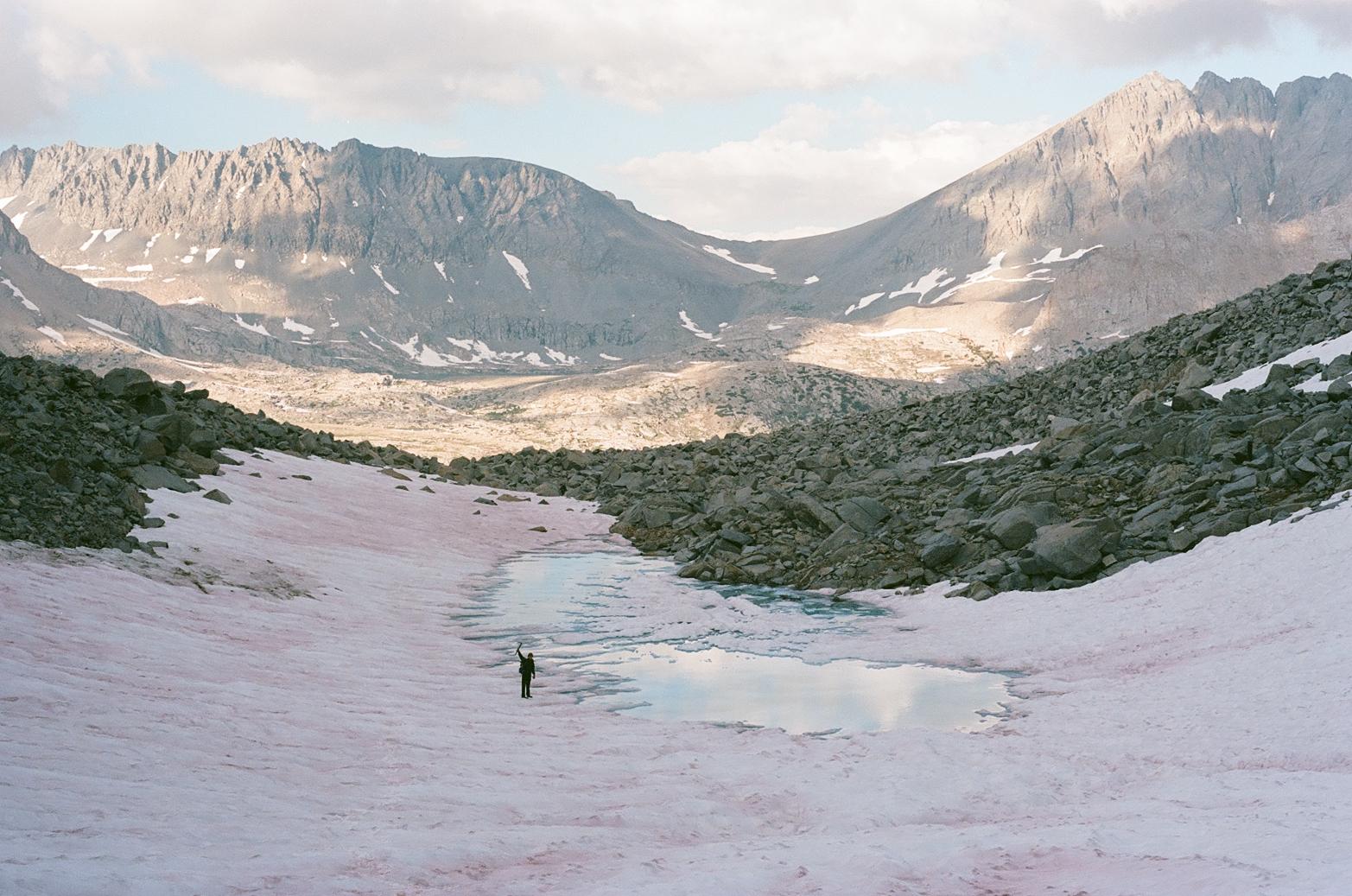
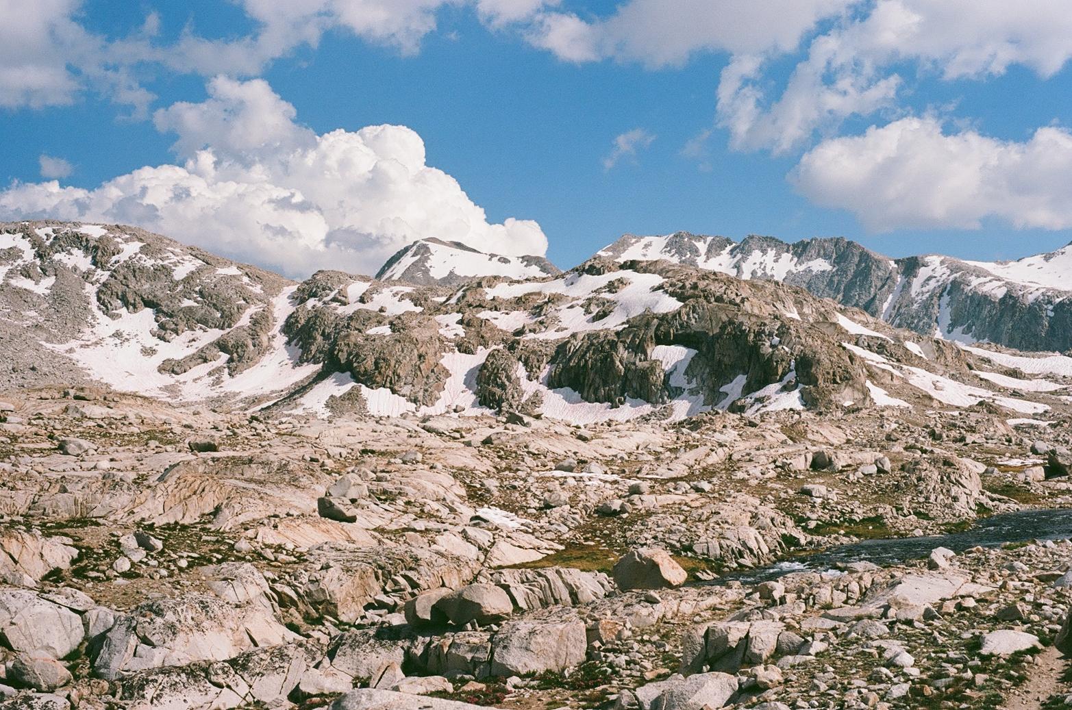
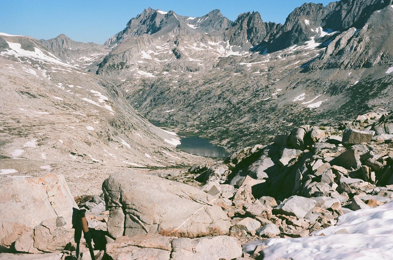
At a high level, the route kicked our ass. It was beautiful, challenging, and remote. Much harder than we anticipated. We learned a ton about navigation, about Sierra “class 3” scrambling, and about each other. Unfortunately, obligations back in Berkeley ended my trip prematurely, and I had to get off in Mammoth while Anthony and Dan pushed on. It would be five years before I would come back to finish this spectacular route.
Upon my return to the route in 2022, the High Route’s newfound popularity was apparent. In 2017, the off-trail sections were spectacularly remote. It felt as if we were the first humans to set foot in some of these regions. When I came back to finish the route, the faintest semblance of human traffic was apparent even in some of the remotest sections of the route: the odd use-trail, a stray piece of trash, a tamped down tent side. It is no coincidence that the rise of the route’s popularity coincides with the GPX of the route being published online and “influencers” documenting their journey on the SHR. While it is great to see people getting out, I wonder if we will not lose something when an insanely wild backcountry route is reduced to following a line on one’s cell phone.