Bay Area Ridge Trail Fastest Known Time
April 2025
After hemming and hawing about going for the Bay Area Ridge Trail speed record for years, the time had finally come to actually do the thing. The plan was to drive up to Ben and Axel’s place on Thursday, relax there for the afternoon, eat a big dinner, and get to sleep by 8 p.m. for an early start the next morning. I made it up to Ocean Beach early in the afternoon, walked along the water and stared out onto the mighty Pacific to settle my nerves. Ben and I made a huge pot of pasta for dinner, we engorged ourselves, and then I went to bed in the van. I actually slept decently well.
Day 1
I rose at 4:45 a.m. with my alarm and walked up to the house. Ben had generously offered to take me to the start of the hike, and he was awake, alive, alert, and drinking coffee already by the time I got up there. I made a bagel with avocado, wolfed it down along with a banana, and drank a glass of beet juice. I filled my sports bottle with another heaping serving of beet juice for the road. I was turned onto beet juice as a performance enhancer by Sean O’Rourke (Dr. DirtBag himself). He mentioned drinking copious amounts of beet juice all throughout his utterly savage California 14ers speed record back in 2012. So I had been slugging the stuff for months leading up to my hike. This morning I was getting my last hits in.
Ben drove me to the southern end of the Golden Gate Bridge, and I was hiking by 5:28 a.m.. I said “goodbye” to him and then simply started walking north. The nerves settled down and within a few minutes it felt like I was on just another trip. I was hiking briskly, maybe close to four miles per hour, and I felt pretty strong.
Once across the bridge, the trail shoots steeply up into the Marin Headlands, and my quads burned very slightly with each step. Shoot, I thought to myself, I didn’t rest enough this week! Indeed, I had gone on two ill-advised mountain bike rides, when I should have been sitting on the couch. I fretted over my quads for the next couple hours, but they seemed to be holding up just fine as the day progressed.
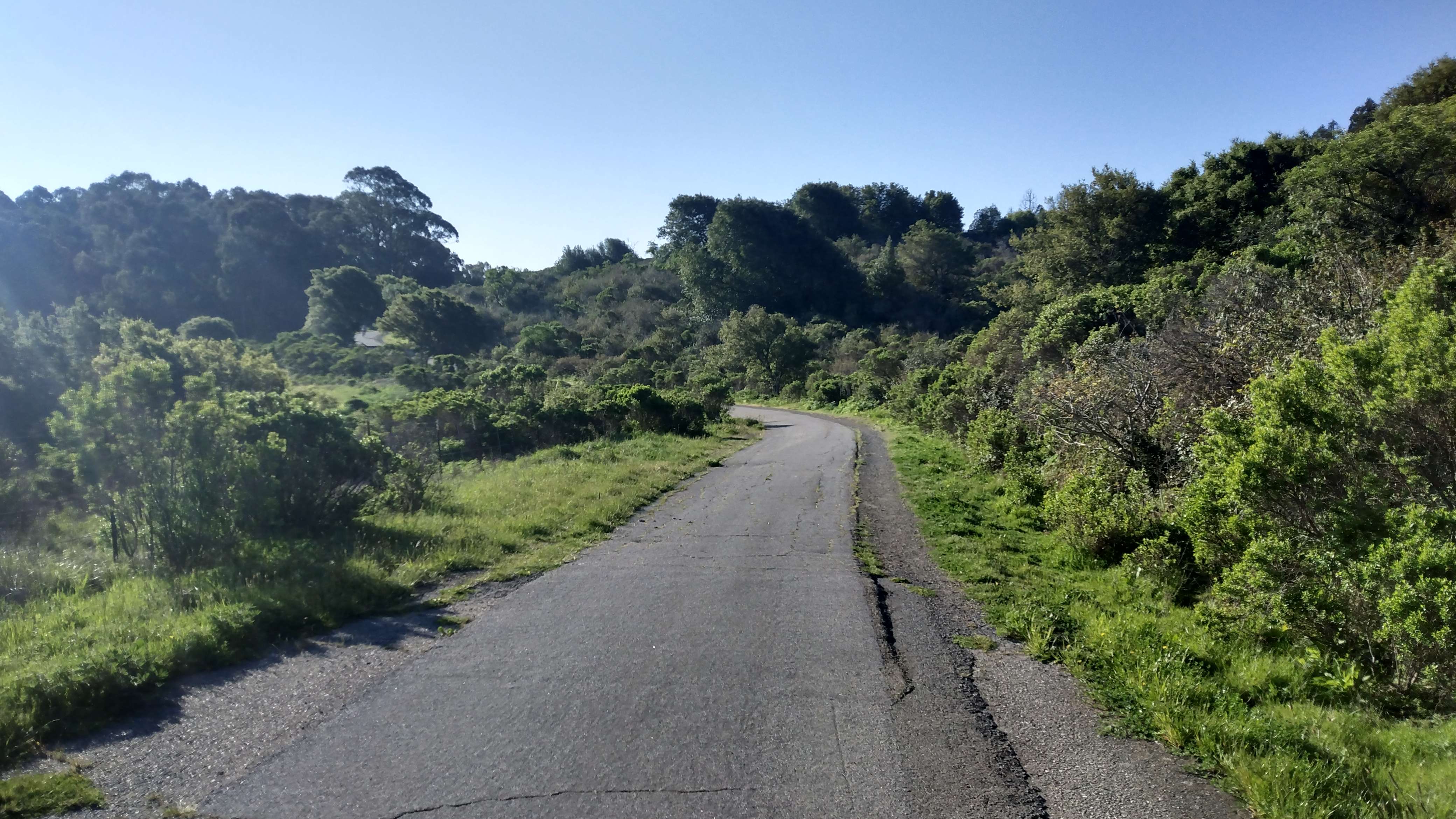
I filled up water at the top of the Dipsea trail, and continued north along dirt single track with stupendous views. Eventually, I made it to the Bolinas Ridge which I would follow for miles. I loved the sections of trail with no route finding, junctions, turns, or surprises, just miles and miles of pleasant walking where I could turn my mind off and just cruise.

The trail eventually cut southeast, and I made my way down to some nice shady walking paths. I filled up water, used a trailhead bathroom, and checked my progress for the day. My rough plan was to hike fast with no breaks for 10 hours each day (from 5:30 a.m. to 3:30 p.m.), and then take a 5 minute shoes-off break to check my progress for the day and pull food out of my backpack if I was running low in my outer pouch and fanny pack. I checked my progress and was well over 30 miles in. I had just over 15 miles to go, way ahead of schedule! I was elated, the trip was off to a roaring start. I had a pep in my step the rest of the evening and crushed huge climbs and knee-jerking descents with ease.
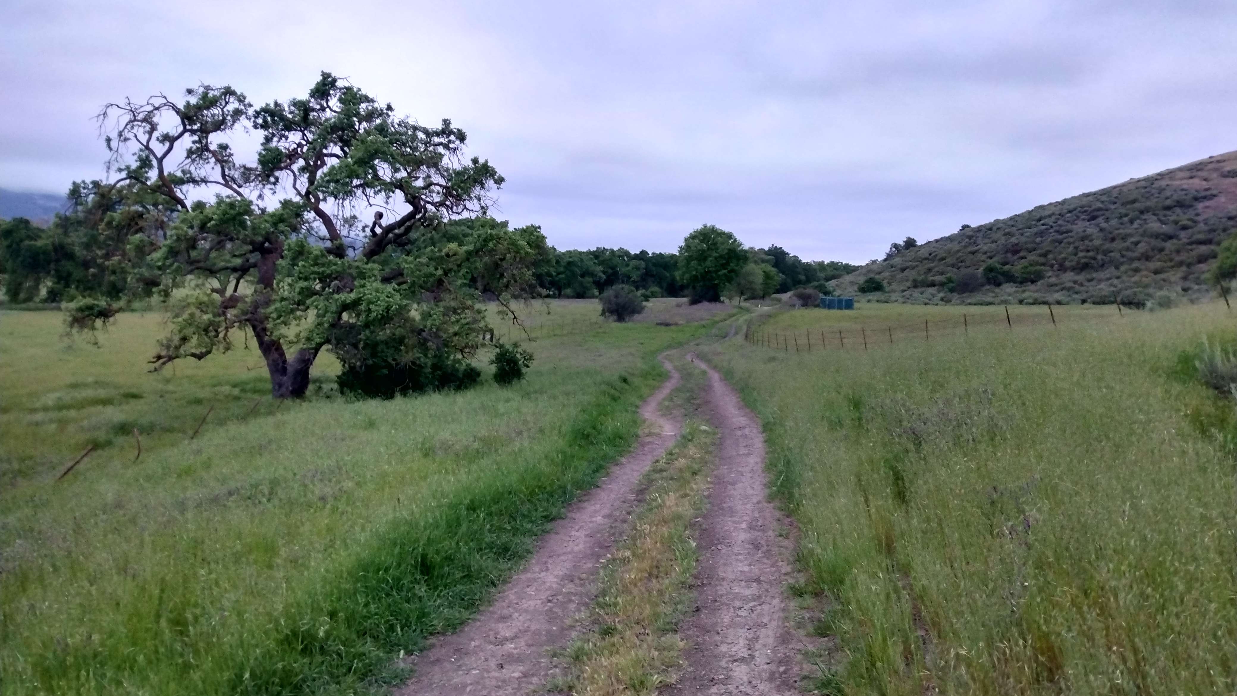
Towards the end of day one, I crossed Big Rock Road and started looking for potential campsites. Thick, low clouds had rolled in and a powerful wind started thrashing with a great fury. It must have been gusting up to forty miles an hour, and the air was cold and soaking wet. I was getting pretty frigid, but was glad to have decided to bring my fleece sweater. I spotted a decent looking spot next to some oak trees and decided to break camp there. I tried in vain to set up my tarp, the ground was too hard for the stakes and the wind would have knocked it right over anyways. So I laid out my pad and crawled into my sleeping bag. I put my trash bag around my sleeping bag, hoping it would keep me somewhat dry. It kept me dry from the elements, but the condensation from my body soaked my bag anyways, so after a few hours I took the trash bag off and accepted that it would be a wet night.
Day 2
I slept soundly despite being soaked through and woke up diligently at 5:15 a.m.. I was hiking by 5:30. It was still cold, and the wind was still relentlessly howling. I had a couple hours of peaceful ridge hiking before dropping into Novato. Once there, I wound my way through residential streets and down the main drag. I resupplied at Trader Joes, and then set off for a long day of road walking.
The majority of the day would be on busy, high speed roads with no sidewalks and very little in the way of shoulders. Before jumping on the 37, I stopped at Rossi’s Deli, hoping to find some sunscreen as my legs were totally roasted already. I remembered in the past having sunburns so bad that they made me feel sick and dehydrated: this was the last thing I wanted to have happen now so I desperately needed to find sunscreen. It seems as though the proprietor of Rossi’s deli organizes his shelves so that you absolutely cannot find what you are looking for. Things were just randomly thrown about and I searched in vain for about five minutes before giving up. The disorganization was more than compensated by the charm of the proprietor himself, who chatted with me for several minutes, took my jokes about his disorganization in stride, and even filled my water bottles. “Have a good rest of your walk, man!” He chimed as I walked out.
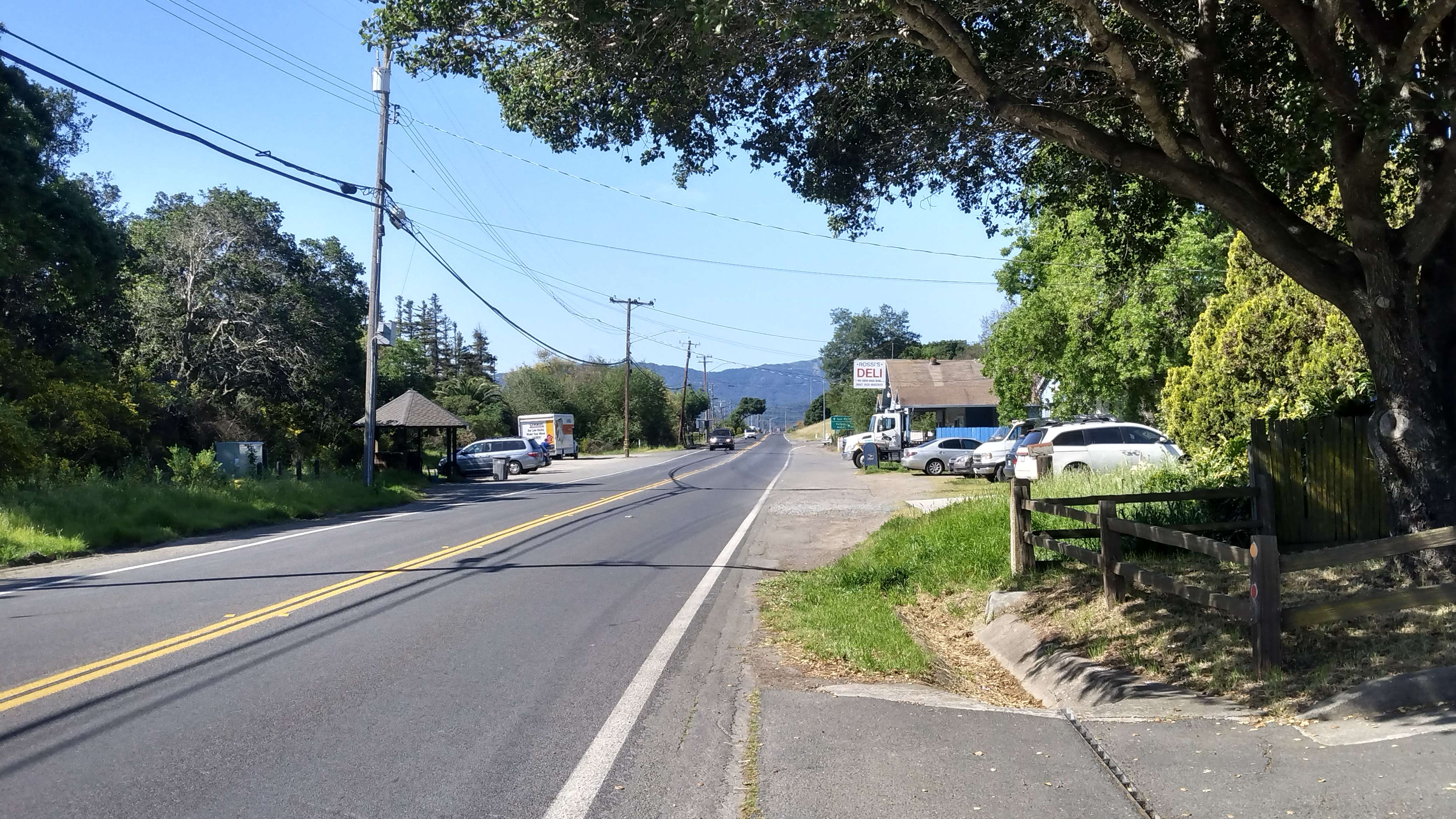
Next, I had to get onto the 37. The route kind of skirts up a brushy sidehill to get onto the 37 before a large bridge. The bridge has a small, maybe 1 foot-wide track that I could walk on, with cars buzzing my left shoulder at 60 miles-per-hour. To my right was a small railing about the height of my thigh, which is all the protected me from falling into the slough hundreds of feet below. These conditions certainly made for interesting walking.
I survived the bridge and made it to the San Pablo Wildlife Refuge, a few mile stretch of trail that broke up the monotony of walking along the 37. There were tons of beautiful birds flying all about, and I was even treated to the sight of several Snowy Egrets. All good things must come to an end and at some point the route rejoined the 37. I put in my headphones for the first time on the trip and listened to some music to pass the time. Several cars honked at me, and I heard a few shouts. I don’t think they were honking and shouting at me but rather with me, drivers supporting the strange man who for one reason or another was walking on the side of the highway. At least this is what I thought to myself at the time.
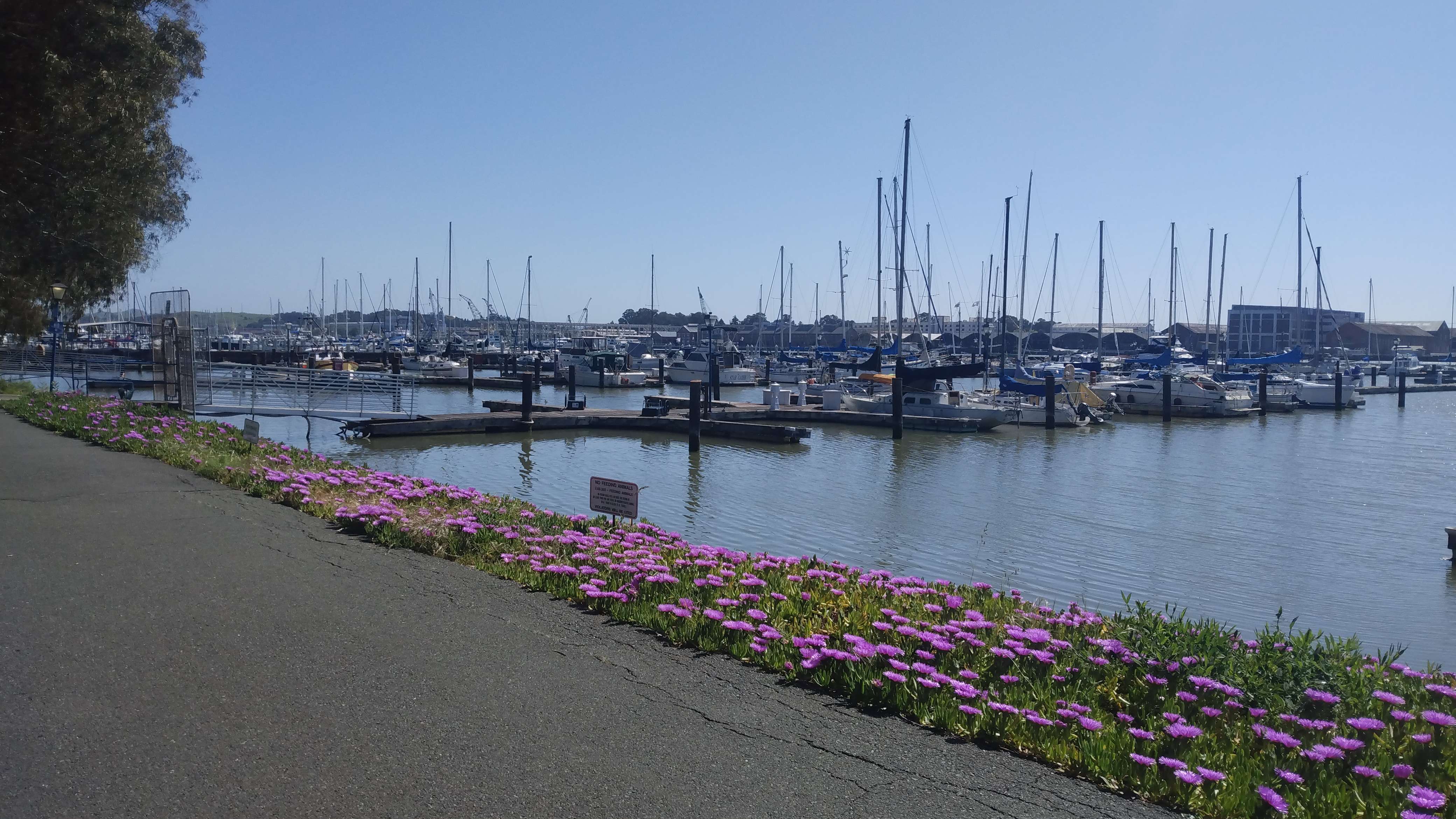
A truism that is much less spoken is that all bad things also come to an end. And so, I eventually finished my walk along the 37 and was in Vallejo before I knew it. I walked along the harbor, enjoying shade whenever I was graced with it. I filled up water at a spigot, sat in the shade of a large tree, and checked my progress. I was about 16.5 miles out from my goal for the night. I was slowing down a hair with respect to day one, but not bad.
I stopped at Grocery Outlet to get my resupply and also to grab some zinc-based sunscreen. From there I charged on to the Carquinez Bridge, passed through the charming town of Crockett, and passed through some beautiful county parks south of town. I drew near to the infamous highway 4 crossing which I elected to navigate by hiking under the westbound side of the road and then over the eastbound side via train tracks running over the it. This went off without a hitch, and soon I found myself heading into the hills of the Fernandez Ranch open space. I was getting quite tired at this point and had slowed considerably over the last six miles so I slept as soon as I hit the “night two” marker on my map, not attempting to sneak any extra miles in. I slept under a huge oak tree that kept me warm and dry all night despite the heavy marine layer that rolled in.
Day 3
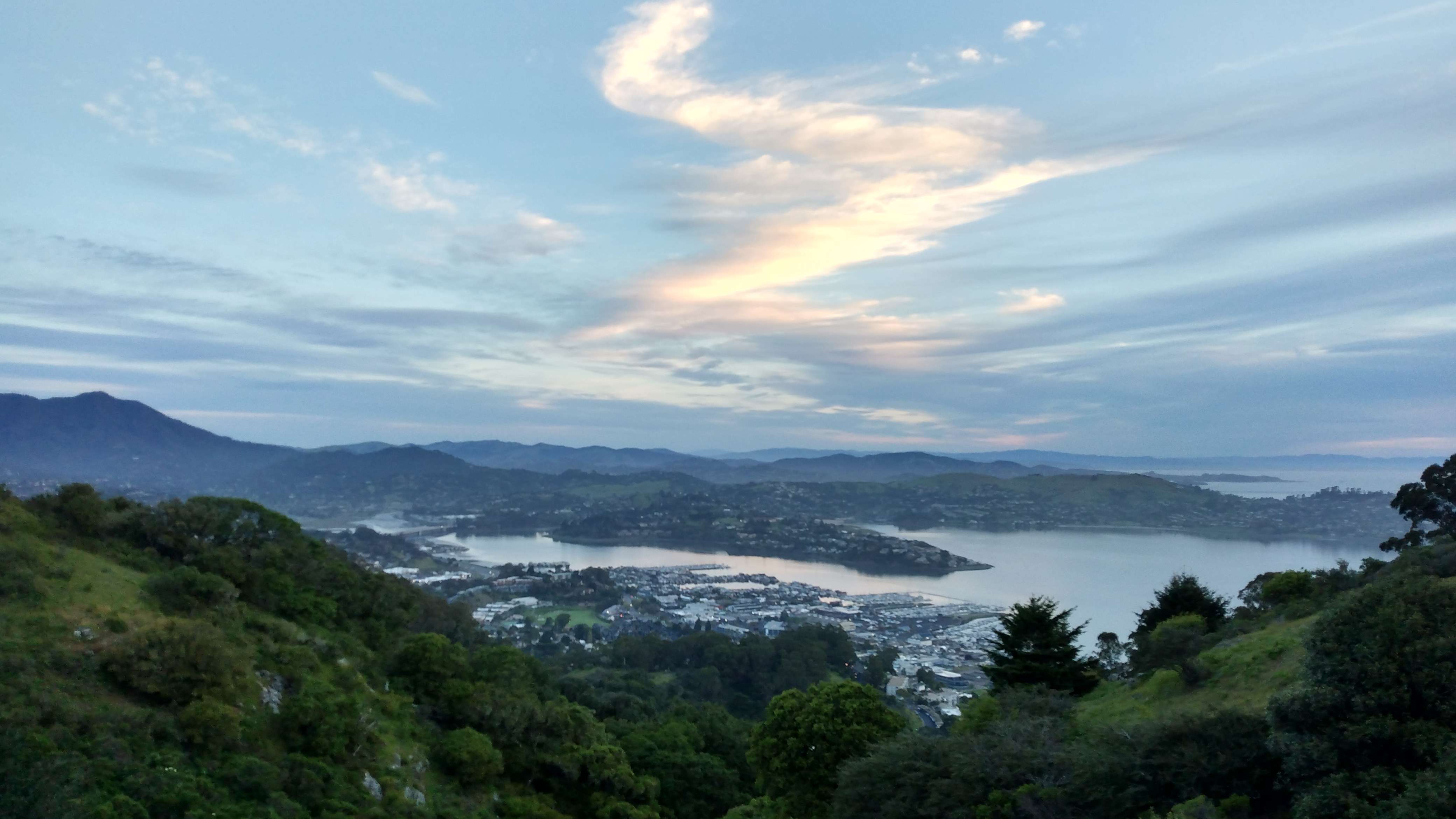
In many ways day three was the highlight of the trip. In several others it was the absolute nadir. The route traversed some of its longest and most beautiful stretches of relatively uninterrupted wilderness, punctuated only by the odd road crossing or trailhead. The views were consistently stunning: the whole bay area stretching out below to the west, and vast green rolling landscapes to the east. But the day also contained slow terrain, interminable climbs, extreme sun exposure and heat, and other factors contributing to its difficulty.
I made good progress in the morning, hiking through one park and preserve after the next, eventually gaining the prominent ridge I would follow for most of the day. I trundled along Nimitz way—a beautiful footpath just outside of Berkeley—and then the Seaview trail for mile after beautiful mile. By midmorning is was quite hot, especially on the exposed ridge line that offered little in the way of tree cover. I felt good enough to hike straight through my typical 3:30 p.m. break and map check, and made it an extra hour before stopping. I kicked my shoes off next to a water faucet that ended my twelve mile water carry. I was to refill here to get another twelve miles before my next fill in Castro Valley. Unfortunately, the faucet was turned off for some reason and so there I was in the heat of the afternoon with no water left and twelve miles until my next drink. On top of this, I checked my progress, and despite hiking briskly all day with no breaks and going the extra hour before checking, I still had just over twenty miles to go. To add insult to these injuries, I took stock of my food and only had a few hundred calories left.
Things invariably go wrong during FKT’s so I went into problem solving mode. I checked my map for streams and there seemed to be a couple seasonal ones within three or so miles. Instead of pondering my predicament in terms of miles left to hike, I threw on my shoes and started hiking those miles. In terms of food, I simply rationed what I had. Soon enough I found a stream. Things were looking up. They were looking down again when I got to a EBMUD trailhead during the most oppressive heat of the day. I dropped my bag to quickly grab my last couple bars and as I stood up I saw a man walking across the otherwise empty trailhead. As quickly as he appeared, he disappeared, and I realized then I was in bad shape. Hallucinating in broad daylight with six hours of hiking to go. I then saw a very real police officer who asked to see my EBMUD hiking permit. I pulled it up on my phone and he bade me adieu.
The climb up to Dinosaur Ridge was not as long as I remembered it was from my training hikes, and as day turned to night I was dropping down into Cull Canyon. Many agonizing miles later I found myself in a Castro Valley Safeway for my resupply. I was looking and feeling extremely haggard and drew concerned looks from the store’s patrons. I sorted my food on the curb out front and cracked on. A little more road walking gave way to a dirt trail, though it paralleled a tract of suburban homes very closely, and I was worried someone would call the cops on the rogue night hiker they spotted. This didn’t happen and I was able to get deeper into the green space. I finished hiking close to midnight and camped out on a beautiful ridge, exhausted.
Day 4
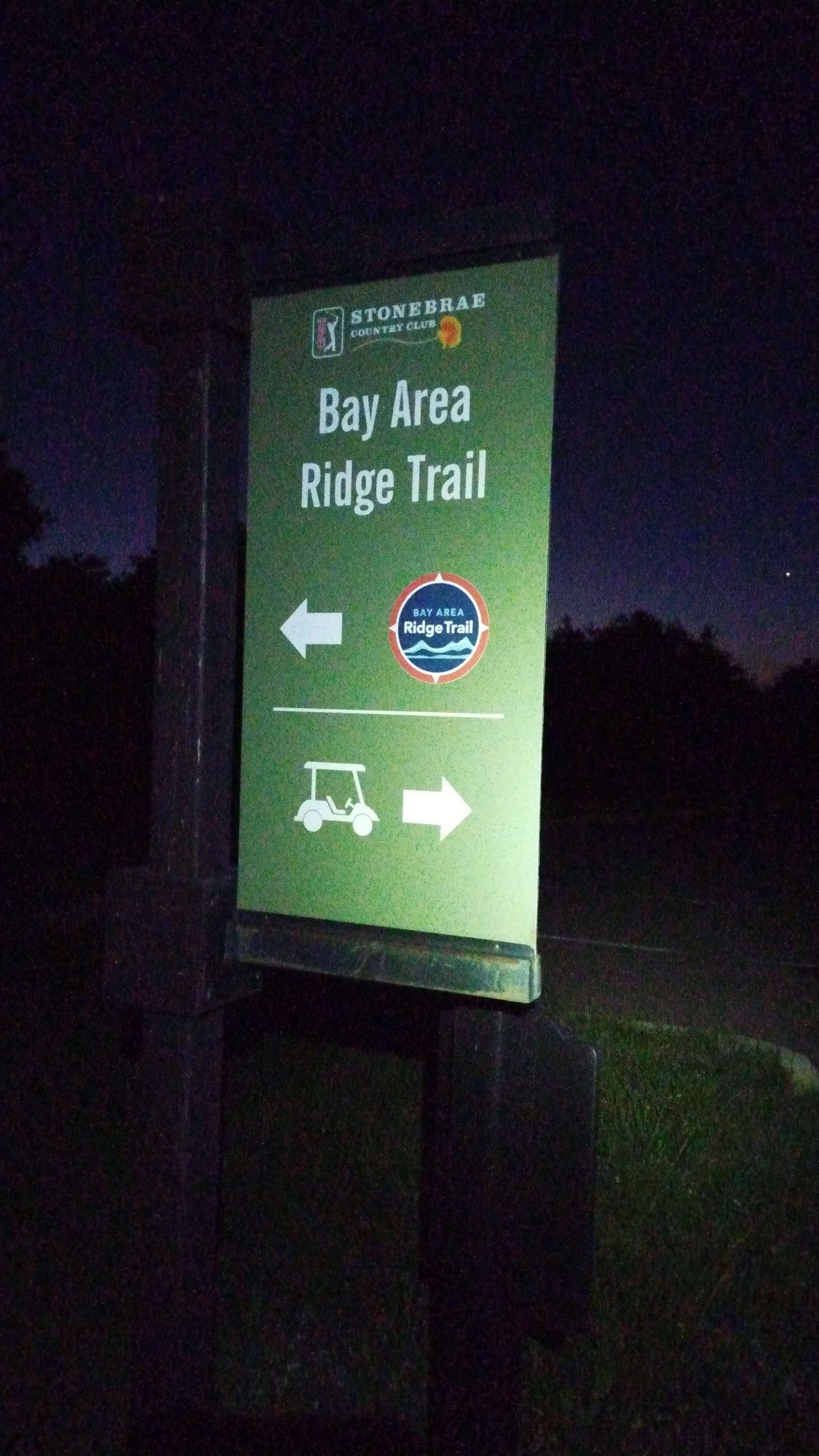
I rose with my alarm, feeling tired but somehow refreshed after five or so hours of sleep. Before dawn I walked through Stonebrae Country Club which is certainly an interesting part of the Bay Area Ridge Trail. Eventually, I was back on dirt trail, careening down towards Fremont. Once there, I walked along Mission Blvd for a couple hours before cutting back into the mountains around Mission Peak. Before long, I was careening down towards civilization once again, this time to San Jose. With all the major elevation gain behind me, I started chewing off road miles one after the next. It was hot, maybe in the 80’s, but it surprisingly never felt too oppressive. The density of bums increased steadily as I closed in on San Jose’s city center. At this point in my hike, I looked more like a bum than a gainfully employed, law abiding, tax paying citizen, and so many of these roughshod gentlemen started chatting with my as I passed by. One guy chirped “Hey man, it’s been forever, how you been?”
To which I replied “Good man, but I’m getting the hell out of San Jose, I’m walking to San Fransisco.” He lauded my choice but said he’s staying local, he’s got a good set up in San Jose. I said bye to my new-old friend and kept plodding. At one point, on the Coyote Creek trail, I got lost in a labyrinthine homeless encampment. Somehow I was to cross Coyote Creek and get up to Senter Street but the trail kind of gave way to this underground civilization. I started asking around and was pointed to an older gentleman who would show me the way. He seemed like a sort of wise village elder. He took me through the house he had constructed for himself which was a very long and narrow series of tarps, plywood structures, and easy-ups. I seemed to be walking through it for hundreds of feet. It was piled floor to ceiling with knick-knacks, trinkets, and other trash and treasures. Eventually, his shanty just spat us right out onto Senter Street! I thanked him and he wished me luck.
Sooner or later, I was south of the heart of San Jose and walking still further south, and it got correspondingly less sketchy. There was a wonderful paved footpath that led out of San Jose all the way down to Santa Teresa. These were easy, peaceful miles. I was almost out of food except for a couple packs of fruit snacks and an entire untouched block of cheddar cheese, 1500 calories just waiting to be eaten. But it seemed supremely unappetizing to me and I couldn’t bring myself to snack on it. Throughout the hike, I had waves of feeling really sick and hardly being able to eat at all, but I was usually able to think of something in my bag that sounded appetizing. By buying a wide variety of food, I could almost guarantee there would always be something appetizing to eat. But for whatever reason I couldn’t eat this cheese.
So I suffered through a couple hours on fruit snacks alone, and made it to the Lucky Supermarket with about an hour to spare before it closed. I bought all sorts of food that sounded appetizing to me at the time, and no cheese. While sorting my food out front on the curb, yet another bum came to sit with me for a couple minutes. When I was all packed and we finished chatting I asked him if he wanted a block of cheese since it just didn’t seem appetizing to me anymore. He happily took it, and I happily got rid of the useless pound of ballast I had been carrying for a whole day. I stopped at McDonald’s for a couple burgers, and then powered up to Santa Teresa County Park to sleep for the night. I slept under a—you guessed it—oak tree, feeling worn out but in good spirits.
Day 5
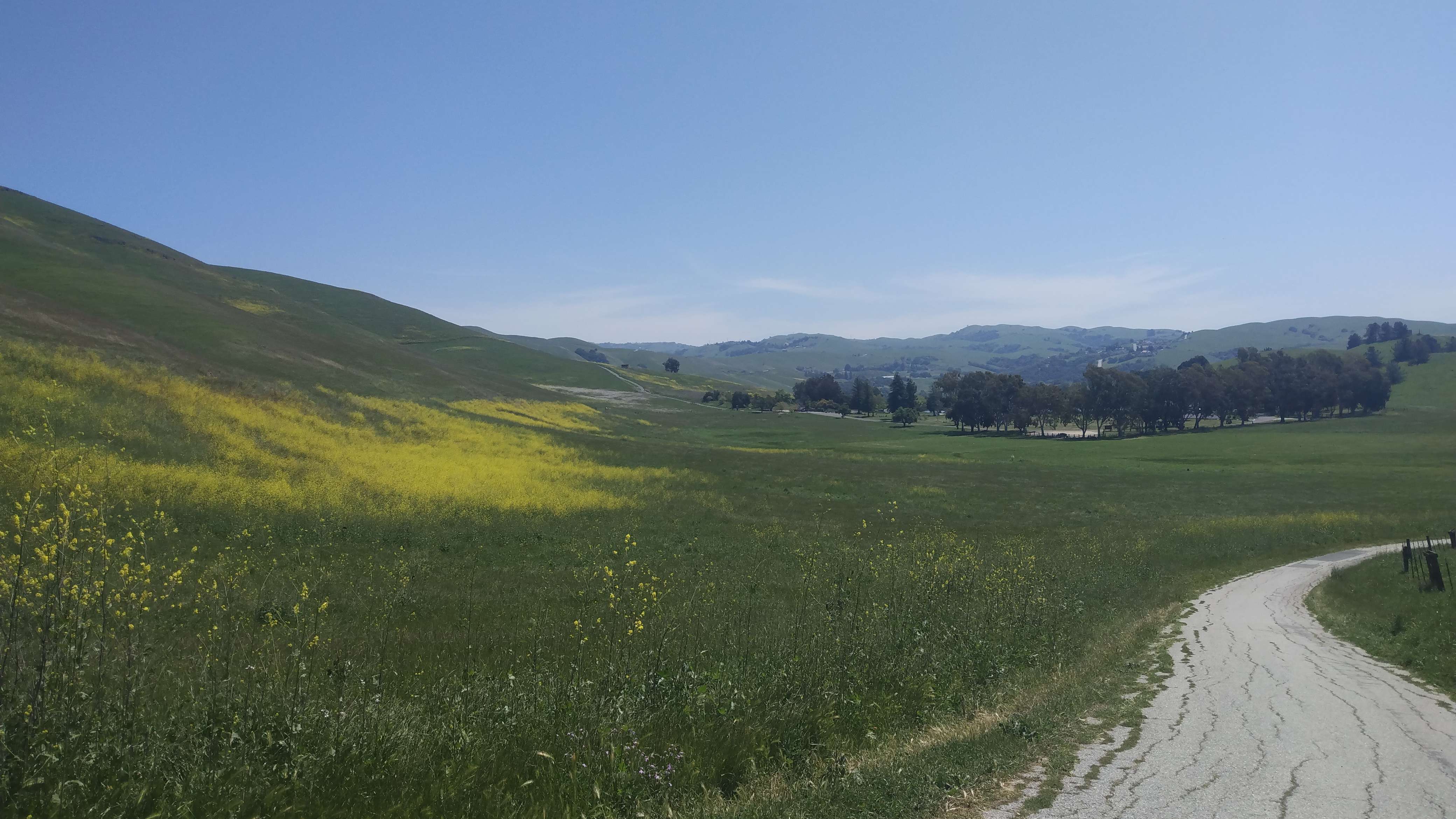
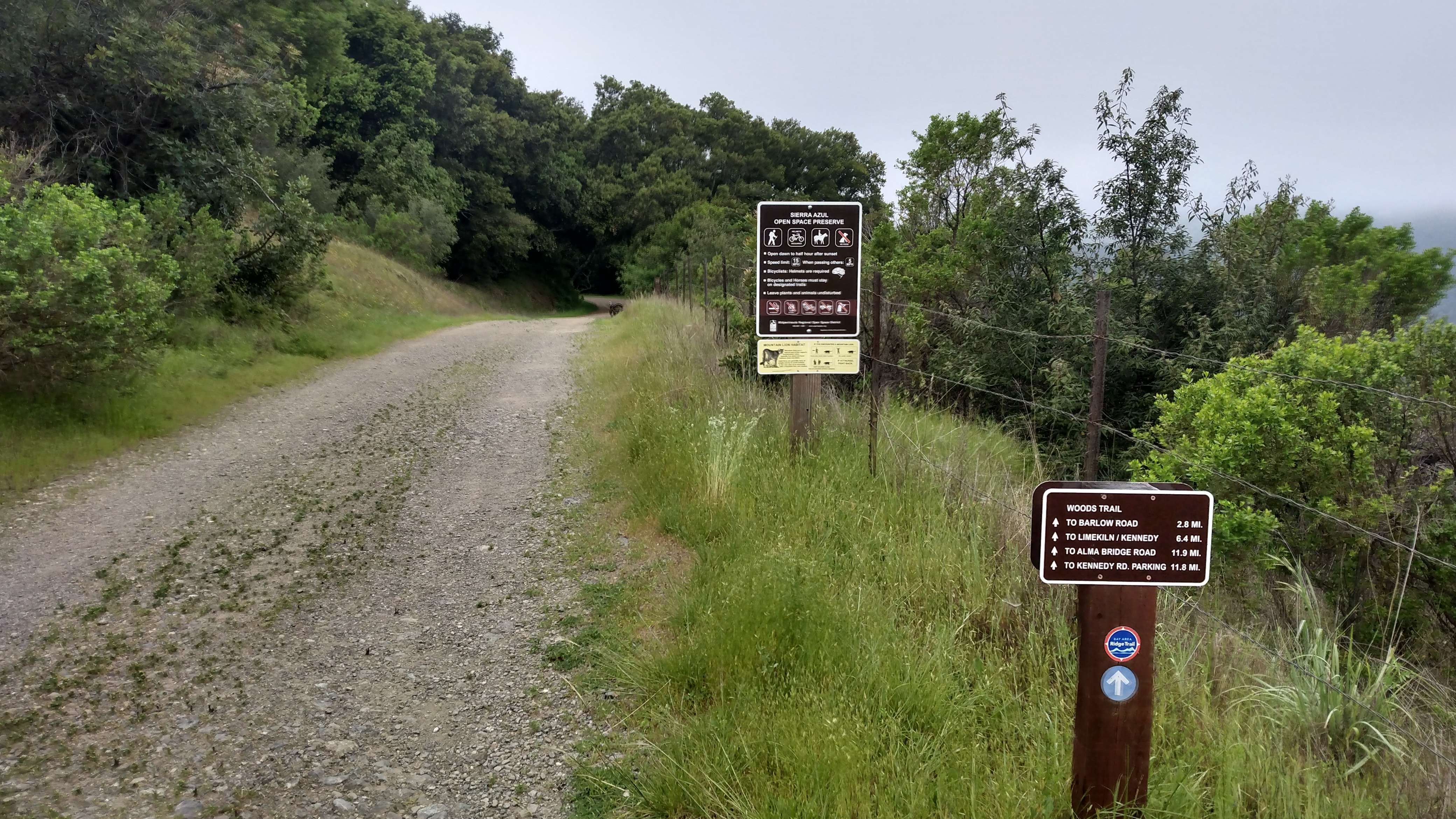
My alarm once again dutifully sounded at 5:15, and I once again dutifully started hiking. I flew through Santa Teresa and cruised across the charming little town of New Almaden. A brutal climb took me up to Sierra Azul, a really pretty and surprisingly remote section of the Santa Cruz mountains. To me this is one of the most incredible parts of the route. The mountains jut proudly towards the sky, the streams are abundant, the foliage is hearty, and the views are incredible. The majesty of my surroundings kept my mind off the pain I felt surging through my entire body which had been steadily increasing day over day.
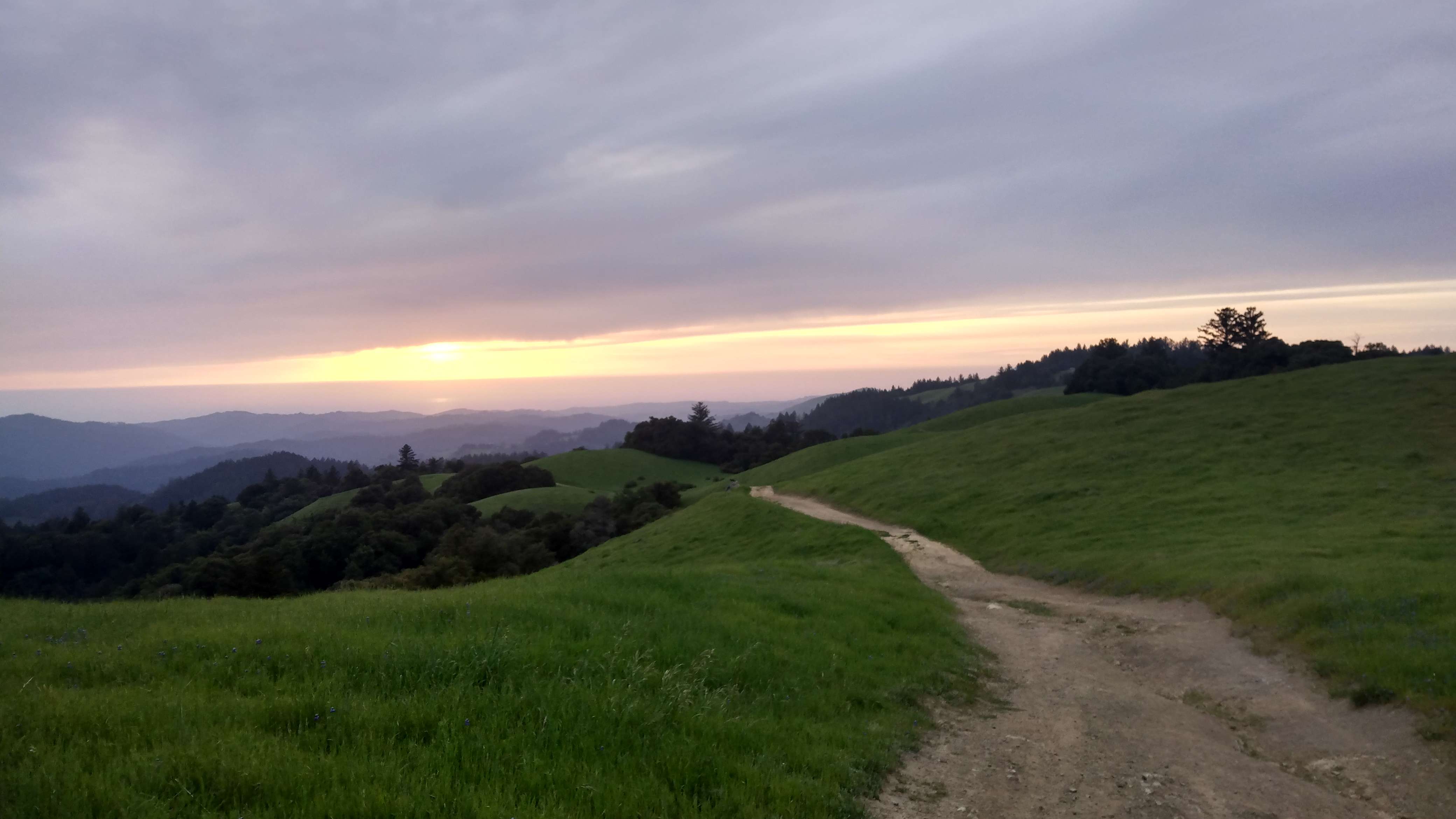
I dropped down to Lexington reservoir, which was frustratingly close to home. In less than half an hour Lexi could drive here to pick me up and in another half an hour I could be in my bed at home. Instead, I filled my water bottle and proceeded up a daring section of road walking along Black Road with no shoulder to gain the ridge that would take me clear up to San Fransisco. Fortunately, the route cuts back onto trails and remains on them for most of this traverse. I powered through Saratoga Gap and was treated to an unbelievable sunset up in one of the regional preserves. I think it was around Turtle Rock. The colors in the sky and on the infinite rolling hills were amazing. My altered state of consciousness from being on my fifth fifty mile day probably helped me see some colors and hills that weren’t even there. It was memorable and pleasant all the same. At some point I made it to my camp for the night. It was, once again, under a big, beautiful oak tree. I shared my campsite with a family of deer who didn’t seem to mind the visitor.
Day 6
Sure as the sunrise, I was up and hiking by 5:30. With about 63 miles to go, this was potentially the last day on trail. I had not decided if I would take a nap after 50 miles or do it all in one continuous push. I enjoyed some trail walking and then managed a short road walk into Sky Londa. The timing was perfect, and I rolled into the Trading Post for my resupply just after 7:30 when they opened. I stocked up on food that would last me until Safeway in Pacifica, and then cracked on. I followed a series of excellently maintained trails that loosely paralleled the 35 for miles, but eventually had to jump back on the road for a couple miles as it dropped down into the 92.
Dropping off of the ridge marked the end of the most remote and rugged parts of the hike. The last 38 miles or so were would get increasingly urban on its way to the Golden Gate Bridge. Once I hit the 92, I descended along its shoulder to the southern tip of Upper Crystal Springs Reservoir. This was an extremely unpleasant road walk. It was a busy road with fast traffic and little to no shoulder. I was honked at several times and was often forced to walk right on the white line defining the right edge of the lane. Relief washed over me when I was able to hang a left and head into the walking paths along the east edge of the reservoir. These walking trails stretch for something like ten scenic miles which made for super cruiser miles. San Fransisco’s water department has constructed an impressive ten-foot barbed wire fence along both sides of this trail. Presumably, this is to keep people from going down to the reservoir which it seems to do a pretty good job at. Why they would need a fence on the east side of the trail, though, is a mystery to me. Perhaps a conniving contractor convinced the government it was a necessity.
I was feeling super solid other than my feet which were in excruciating pain. I decided to push through and attempt to finish without any additional sleep. I passed the point I had picked out as a potential nap spot and charged to the end of the reservoir trails. When the trail ended, I hopped back on the road, ascended through a neighborhood, past one of San Francisco’s county jails, through Skyline College, and up and over the very scenic Milagra Ridge which offered stunning views of the Pacific. What a variety of sights all within a few miles!
I crossed the 1 and headed to Safeway for a resupply. After this, I stopped at McDonald’s and got four hamburgers. I took a break inside to eat and rested my weary bones. Inside, an older bum asked if he could buy weed off me. I wasn’t sure if he was buying or selling, but either way I declined, though I offered for him to join me for my meal. He declined.
Everything was sore but my mind was fairly numb to the pain at this point. I had resorted to using my headphones during the day to help pass the time and distract myself from how my body was feeling. I begrudgingly left McDonalds and proceeded up some fairly steep road walking.
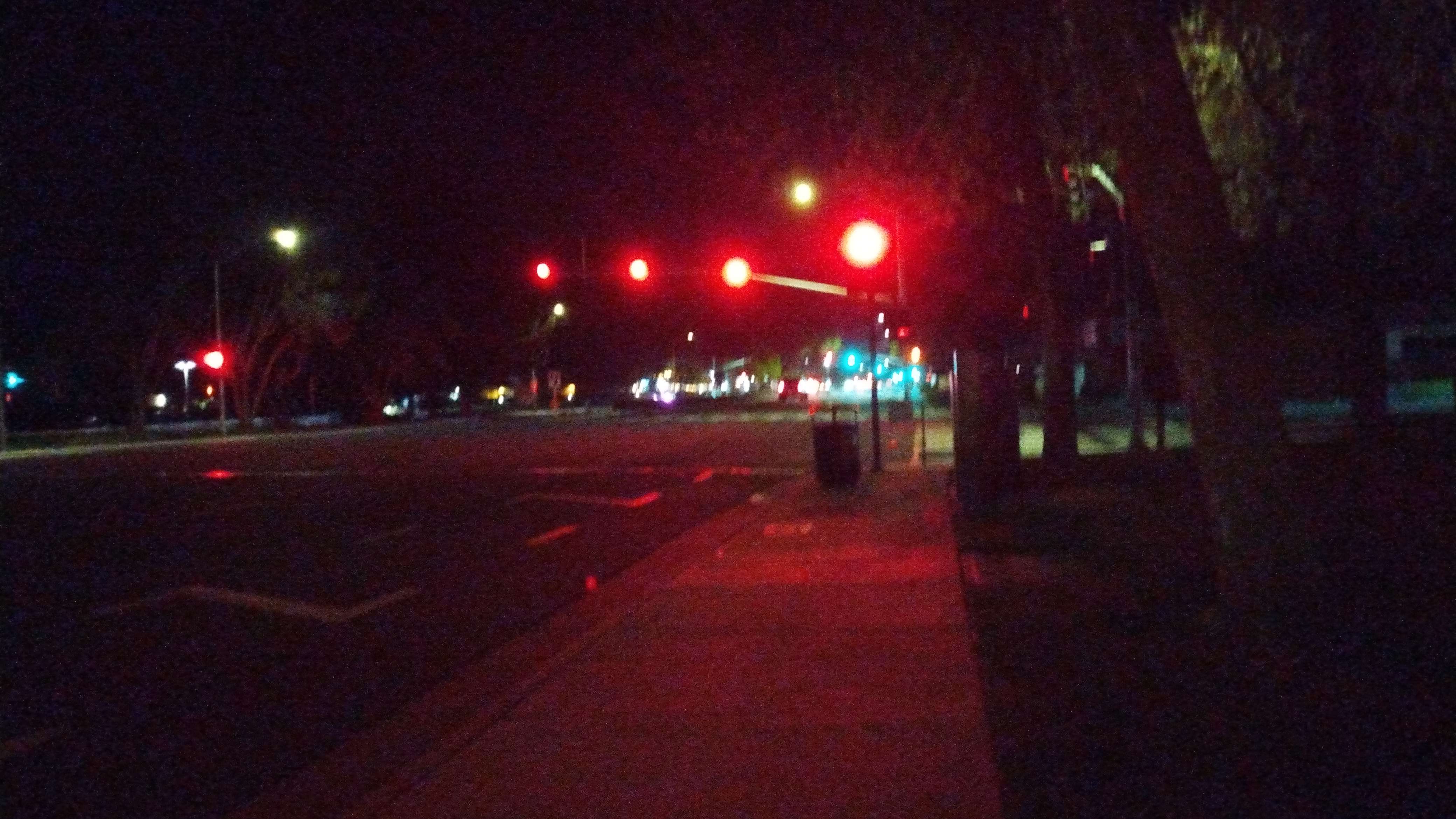
Day was turning to night at this point, and it was dark by the time I got to Lake Merced. This was around 9 p.m. as I recall. I think it was around this point where something strange happened with my phone. I was listening to music in my headphones when suddenly the music was replaced with Anthony’s voice saying “Hello? How’s it going Matt?”
“Oh, shit!” I yelled. It took me a second to realize that Anthony had called and somehow my phone picked up the call without me hitting anything. Anthony thought I was hallucinating since I just yelled an expletive at him when I picked up, but I explained what happened and he was actually surprised at how cogent I was. We chatted for almost an hour which was a Godsend for me. All I needed at this point was distraction from the pain and Anthony provided not only that, but an excellent morale boost. When we hung up, I charged on, even jumping into a jog. When I started jogging I realized it hurt much less than walking, so I kept jogging for most of the remainder of the hike. The route traipsed through some nice parks of San Francisco, most notably Twin Peaks. It was after midnight when I got to that park, and cops were stationed around the roads leading into it enforcing the midnight park closure, but I think they were less concerned with foot traffic and didn’t give me any trouble. The views from the top were incredible, and I gazed triumphantly at the Golden Gate.
Wasting no time, I made my way towards the Presidio. Surprisingly, I saw very few people during my walk through the city—no late night partiers and very few bums. It was surreal to be walking through San Francisco at 1 a.m. with no one around. Eventually I wound my way through the Presidio. Also surreal was the fact that I was about to finish the Bay Area Ridge Trail.
I had gone into this hike not knowing what would happen after day two. I had done plenty of fifty mile days and huge efforts, but never for more than two or three days at a time. I had also done plenty of extended efforts, like hiking the PCT or the High Route. But never had I attempted this odd in-between length at this pace. I wanted to see if my body, and especially my mind, could handle it. My mind had been my Achilles heel on a few other trips—Lowest to Highest and Western States, to name a couple—and I wanted to prove to myself that I could push beyond where I had hit a limit in the past.
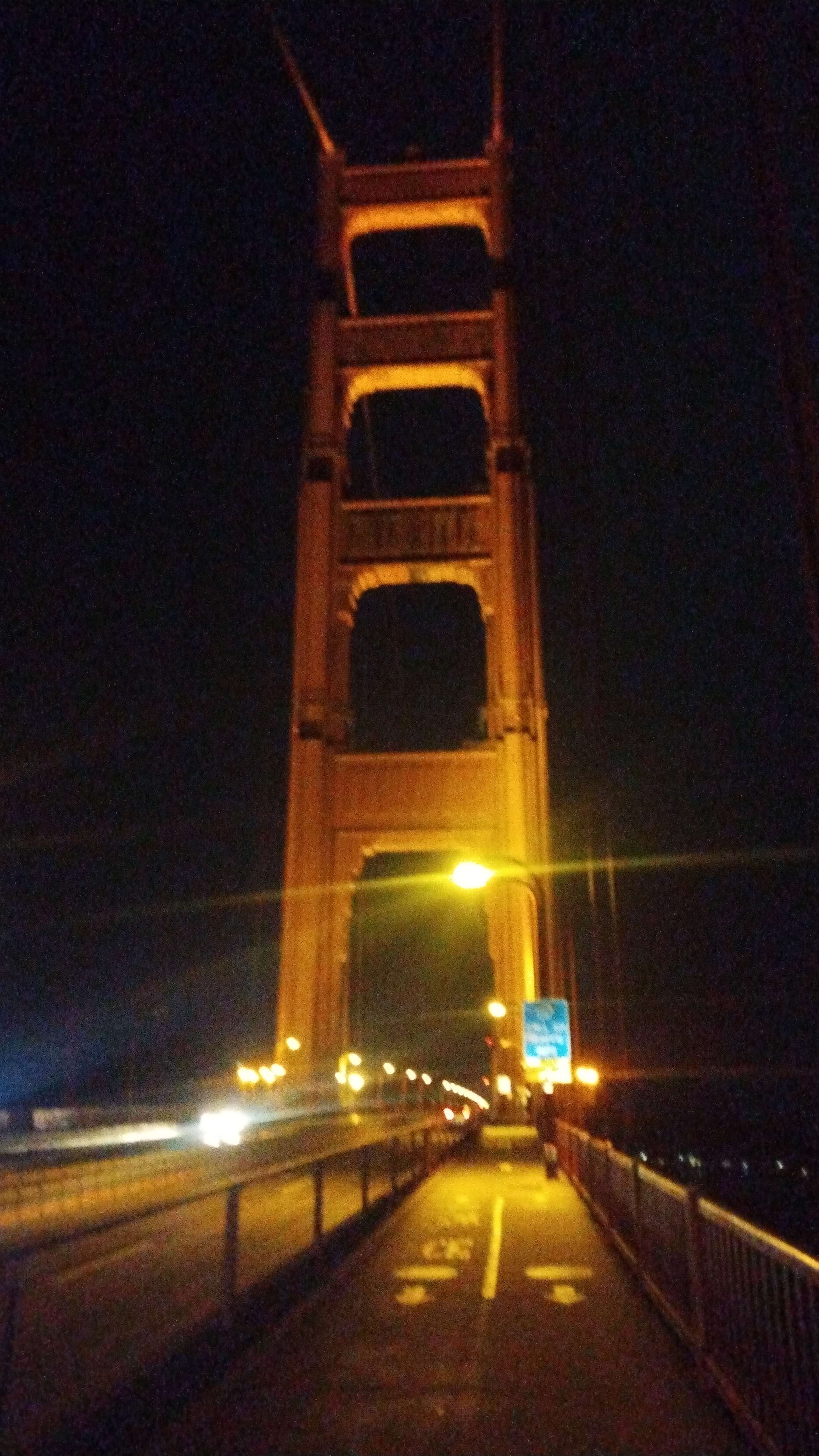
Push beyond I did. As I crested the climb up Washington Street, less than a mile from the end of my hike, the Golden Gate Bridge shot up into view, totally overwhelming the landscape. Stevie Ray Vaughn’s “Texas Flood” blared at full volume in my headphones, and I thrust my hands into the air with great triumph. I yelled at the top of my lungs “let’s fucking go!!!!!!!” and charged towards the iconic terminus along nice dirt trails that paralleled the coast. I trotted under the bridge, and climbed up the footpath to its eastern entrance where I started my hike 5 days and 20 hours ago, and where Lexi was waiting for me.
She took a few photos for the FKT verification, and then we shared a long hug. I slumped down on the concrete and we sat for a few minutes before heading for her car. Lexi supported me through the ups and downs of training and capped it off by showing up to see me finish at 2:00 a.m. despite her heinous work week. She may not feel the credit is deserved, but it really is our FKT, not mine.
