Lonesome Miner Trail
April 2022
The Inyo mountain range offers a great in-between season stomping grounds. When the Sierra is still covered in snow, and the desert is heating up considerably, the Inyos offer a perfect retreat for the intrepid hiker. And so Anthony and I set off for the Lonesome Miner Trail on a long weekend trip in April. It would be a stretch to call this route a “trail”. There is considerable off-trail navigation, and even when “on-trail” one finds himself struggling to follow the faintest of use-trails, which can disappear entirely if one lapses in focus. That being said, old mining relics all along the route ensure the hiker that he is relatively on route.
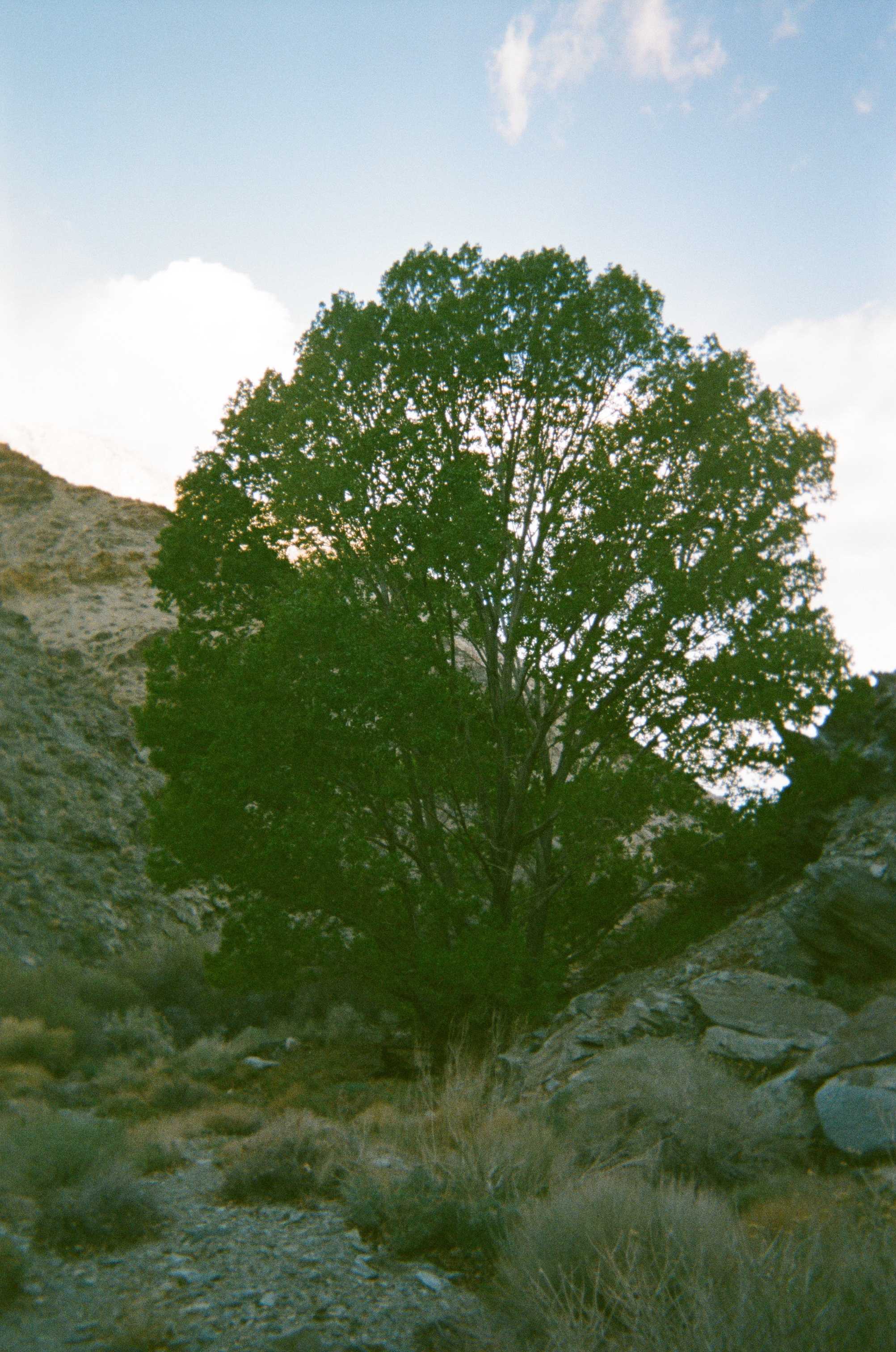
Anthony and I met Friday night, and took off first thing Saturday morning. We started up Long John Canyon, which we had descended a few years ago on the Lowest-to-Highest route. At the head of the canyon stands an impressive Cottonwood tree. Last time we saw the tree in the fall, the leaves were golden, but now, being the height of spring, they were a healthy green. It is rewarding to return to a place and see changes such as these.
After navigating the canyon we hopped onto some old dirt roads for a time, descending the East side of the range towards Saline Valley. The path made for such easy hiking, that we were tempted to just descend all the way to the valley floor, but we cut North and started working our way over some ridges and canyons. It was around this time that we discovered that we both had quite different maps of the route. As it turns out, at various points one map would be correct, the other horribly wrong, and more often than not, both would be pretty inaccurate. This added some spice to the weekend nonetheless.
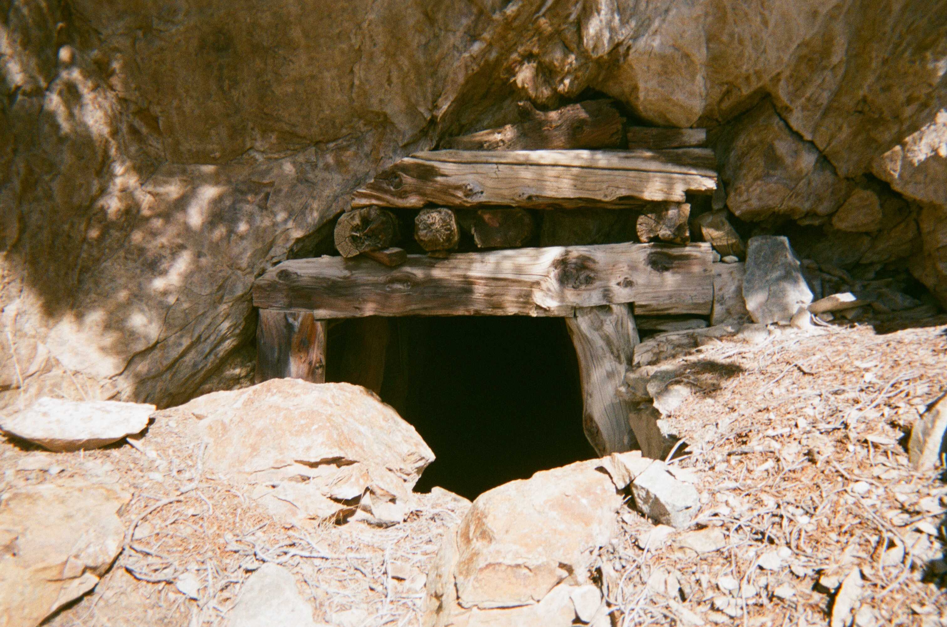
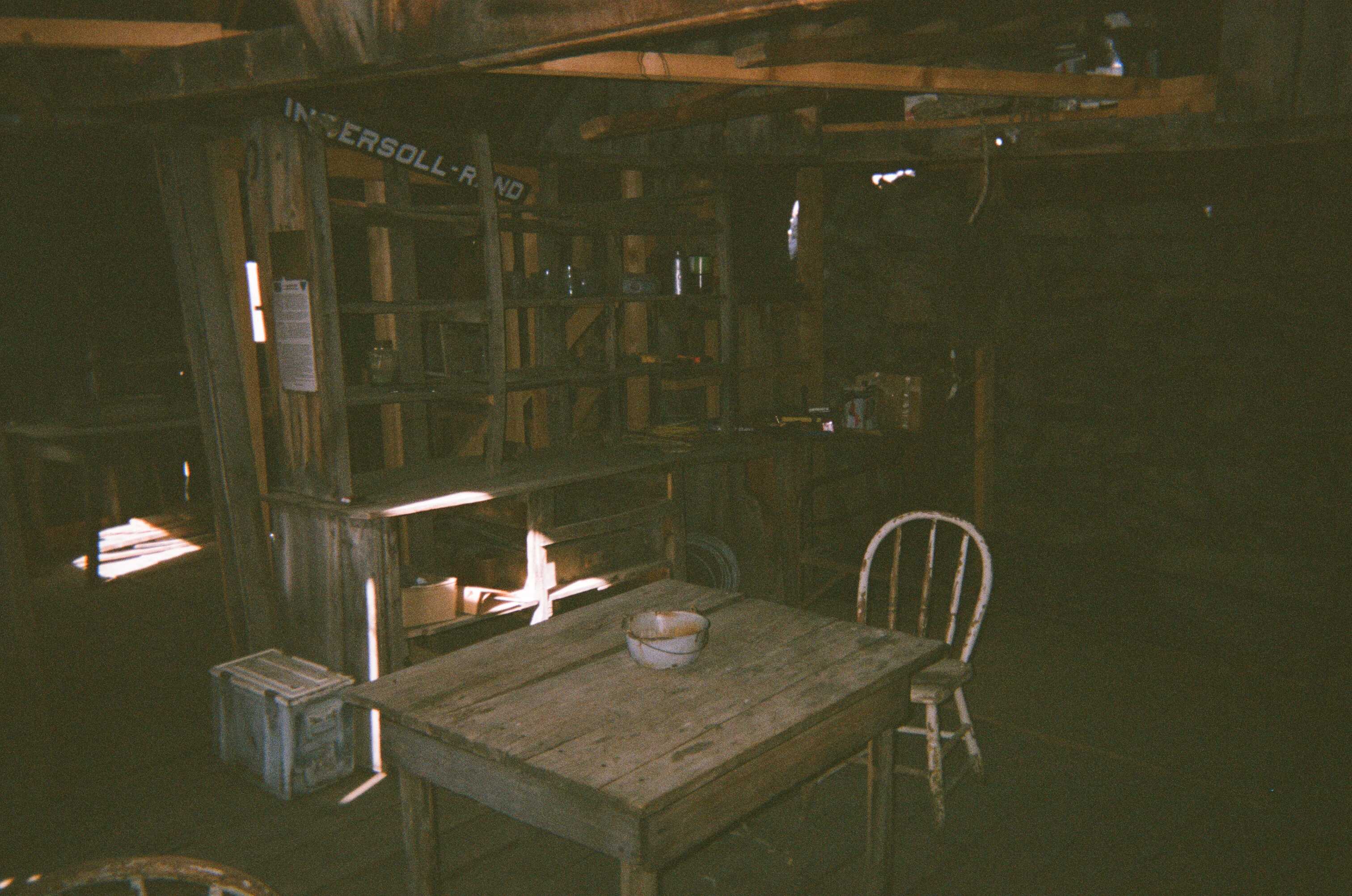
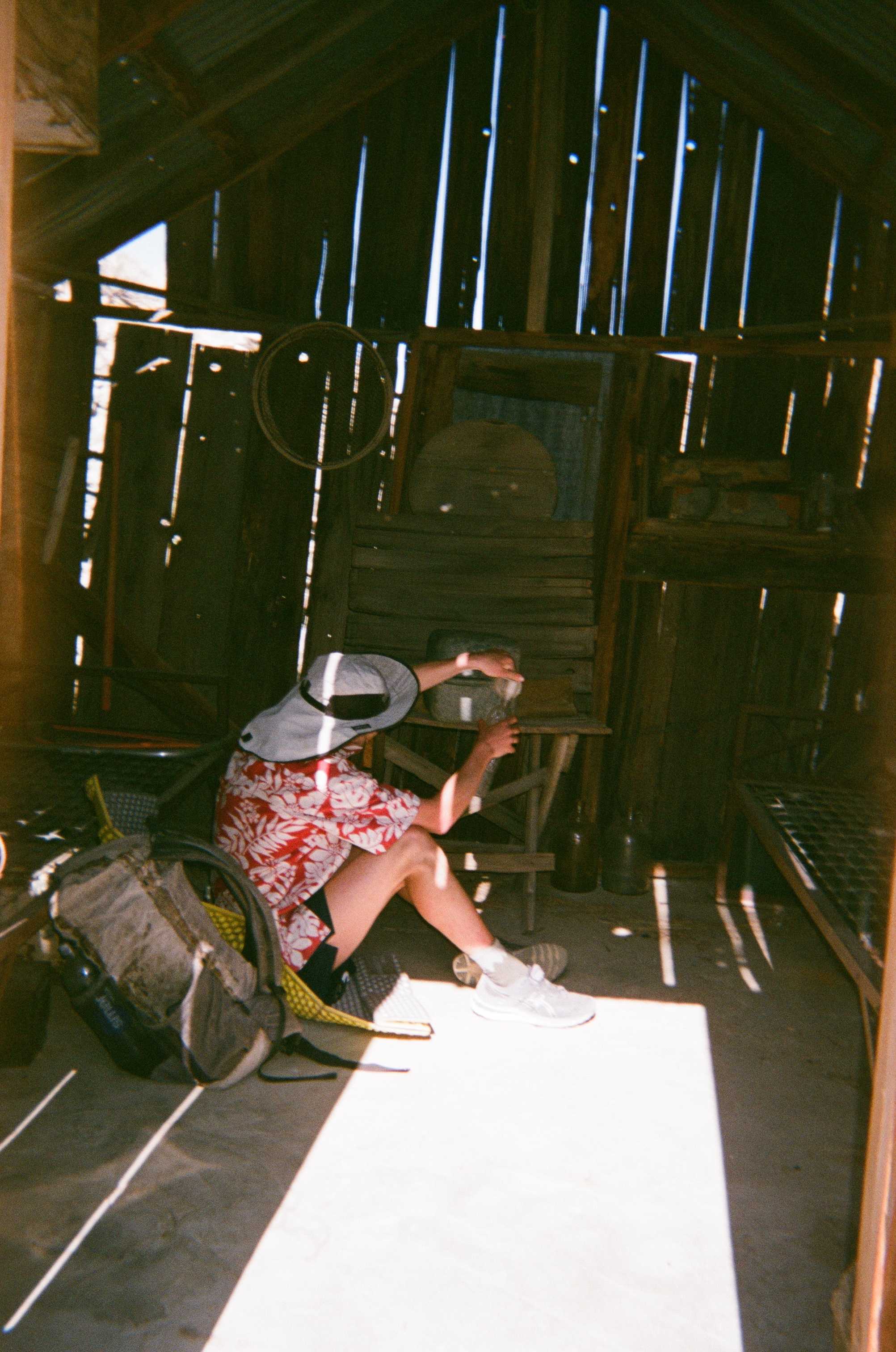
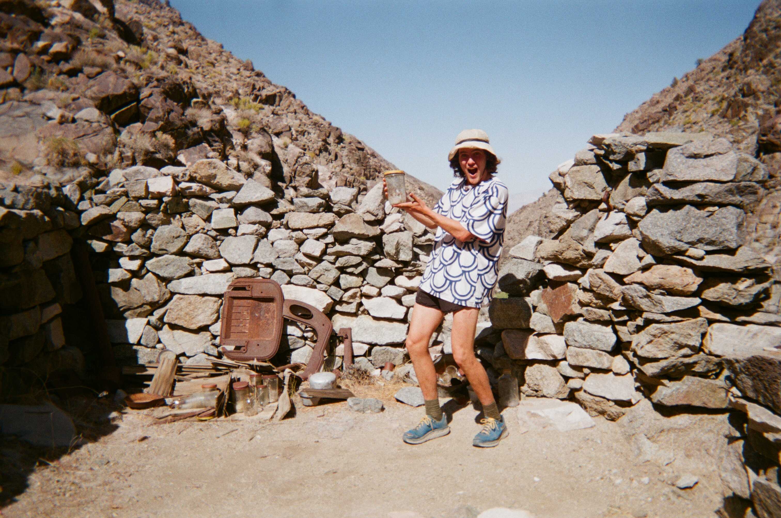
We came upon some impressively preserved miners’ cabins along the way to Beveridge, our destination for the night. I would guess these cabins had been built some time in the late 1800’s, and entering them really teleported us back in time. What a place to live and work! In one of these cabins we were lucky enough to find a water cache. I had about half a liter left and Anthony was dry. We still had several hours until reaching the spring at Beveridge. The mystery of why the Inyos are seldom trafficked was solved just then, challenging navigation and very little water make logistics for slower hikers extremely challenging. We filled up about a liter, and cracked on. Eventually, we wound up in Beveridge where we slept soundly for the night, accompanied by a small mouse who we begrudgingly befriended.
On day two, we headed up and out of Beveridge canyon. Our next destination was McElvoy Canyon, home to the famous Beekeeper’s Cabin. After attaining the ridge, which we did with some navigational difficulty, we struggled to find any semblance of trail taking us down into the canyon. We slogged and slashed our way down, and after a couple hours, were a couple hundred feet from the canyon floor. Again, we found ourselves out of water, which was beginning to be a common theme. I seemed to see a solid flow of water, and heard it too, but did not want to get too hopeful. The last few hundred feet were extremely precarious and slow going. Eventually we made it down, found a wonderful flowing stream, and sat in the shade to eat and drink for a while.
We walked down stream for a bit, not sure if we were on route, as our maps were both wildly divergent, and as it turns out, wrong for this section. We scanned the steep slope North of us that we were to navigate, looking for any sign of trail or foot traffic. Eventually we found the Beekeeper’s Cabin, and a small log book. We found Sean O’Rourke’s and Kim G’s signatures, from just a day ago. It turns out they came on a scoping mission for the record and Kim snagged the FKT shortly after that. Reassured by the log book that we were in the right spot, we found some semblance of a trail, which actually turned out to be pretty well maintained. There were some more impressive mining ruins as we topped out on the ridge. And then we proceeded to get lost again for the next four or so hours.
Finally, completely out of water (surprise, surprise), and with the sun setting, we were making a big descent down to Pat Keyes Spring. All of the creek beds we passed were bone dry, which meant we’d have to make a huge push back to the cars through the dead of night. Fortunately, we stumbled upon a lower section of the spring that was flowing handsomely. We set up shop for the night, hydrated heartily, and had another sound night of sleep.
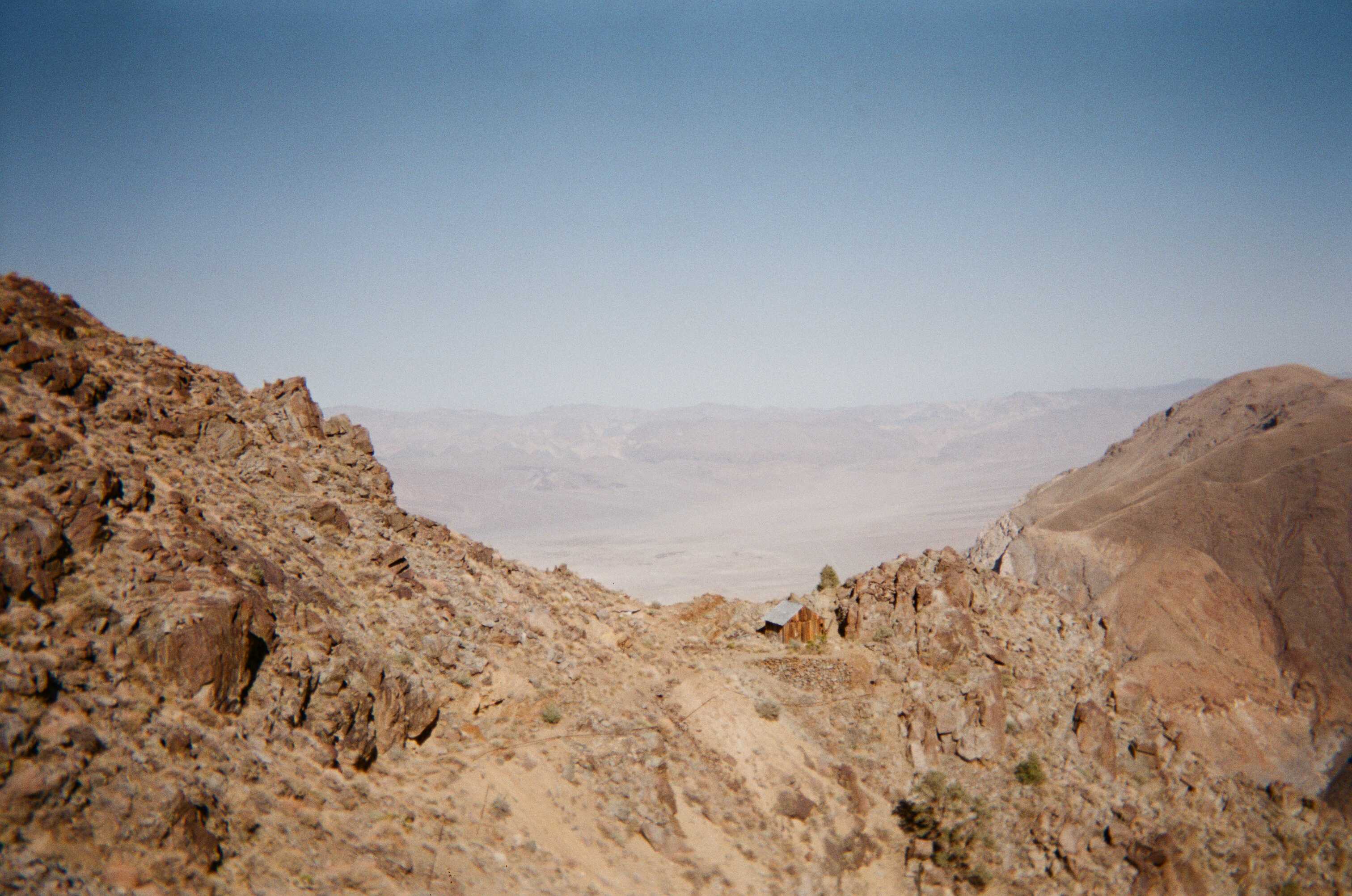
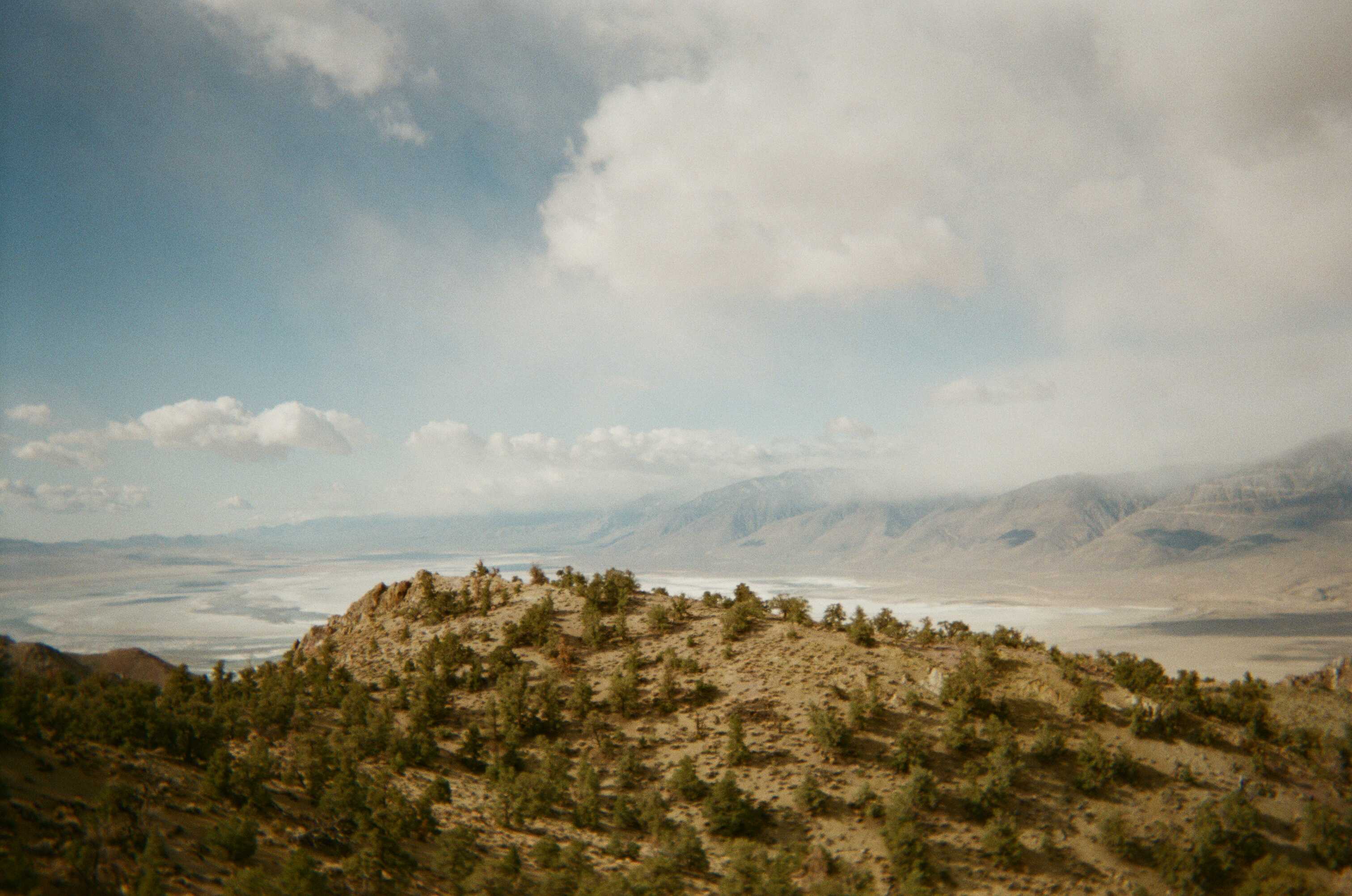
The next morning, we headed up and out of the canyon, again off-trail, not finding any good route up. Eventually, we hit a use trail, and sailed on that to the West side of the Inyo crest. At the pass, we could see the majestic Sierra to the West, and Saline Valley and its accompanying ranges to the East. We made it down to a dirt road, about nine miles from our car, thinking we might be able to get a hitch. We didn’t see a single car on the entire road walk, and ended up hoofing the whole thing. At the cars, victorious, we drove to town and ate some huge calzones. The Lonesome Miner Trail was probably one of my favorite trips in California; it was challenging, beautiful, vast, and very lonesome.