Northern Inyos Traverse
April 2026
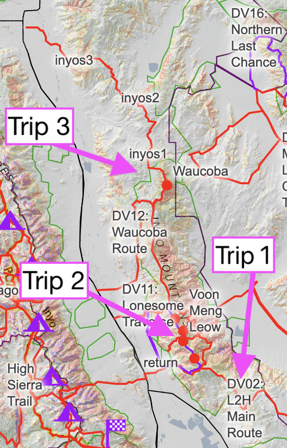
The Inyos are perhaps the best kept secret in the state. 11,000 foot peaks, steep, stupendous canyons, old mining claims, Pinyon Pines, Junipers, Ancient Bristlecone Pines, Bighorn sheep, mountain lions all hidden in that seldom visited range east of the Sierra. Anthony and I thought it would be a worthwhile project to traverse its entire crest. We had done much of this on our FKT of Lowest to Highest in 2018. I went back to complete a section of the crest that I dubbed the Lonesome Traverse as it parallels the Lonesome Miner Trail. And Anthony completed a partial traverse of the northern section of the range last year. So for this trip we mapped out a roughly 80 mile section that would take us through the northern reaches of the Inyos and up through the southern White Mountains, eventually dumping out to Bishop.
For logistical reasons, we broke this trip into two sections. The first would be a SoBo hike from Saline Road down to the Pat Keyes Trail. From there we would hitch to Bishop and hike SoBo up into the Whites, across highway 168, and back to the cars through the northernmost reaches of the Inyo crest. This allowed us to resupply mid-route, avoid a car shuttle, and keep the water carries somewhat sane.
We met at the agreed upon coordinates around sunset on Wednesday night. I was fresh off a weekend hosting friends and family, and a couple days grinding at work so I could take the time off for this hike. Anthony was fresh off a few sublime days hiking in Death Valley and a springtime summit of Thor Peak. I’d be lying if I said I didn’t sometimes miss the simplicity of life out on the east side.
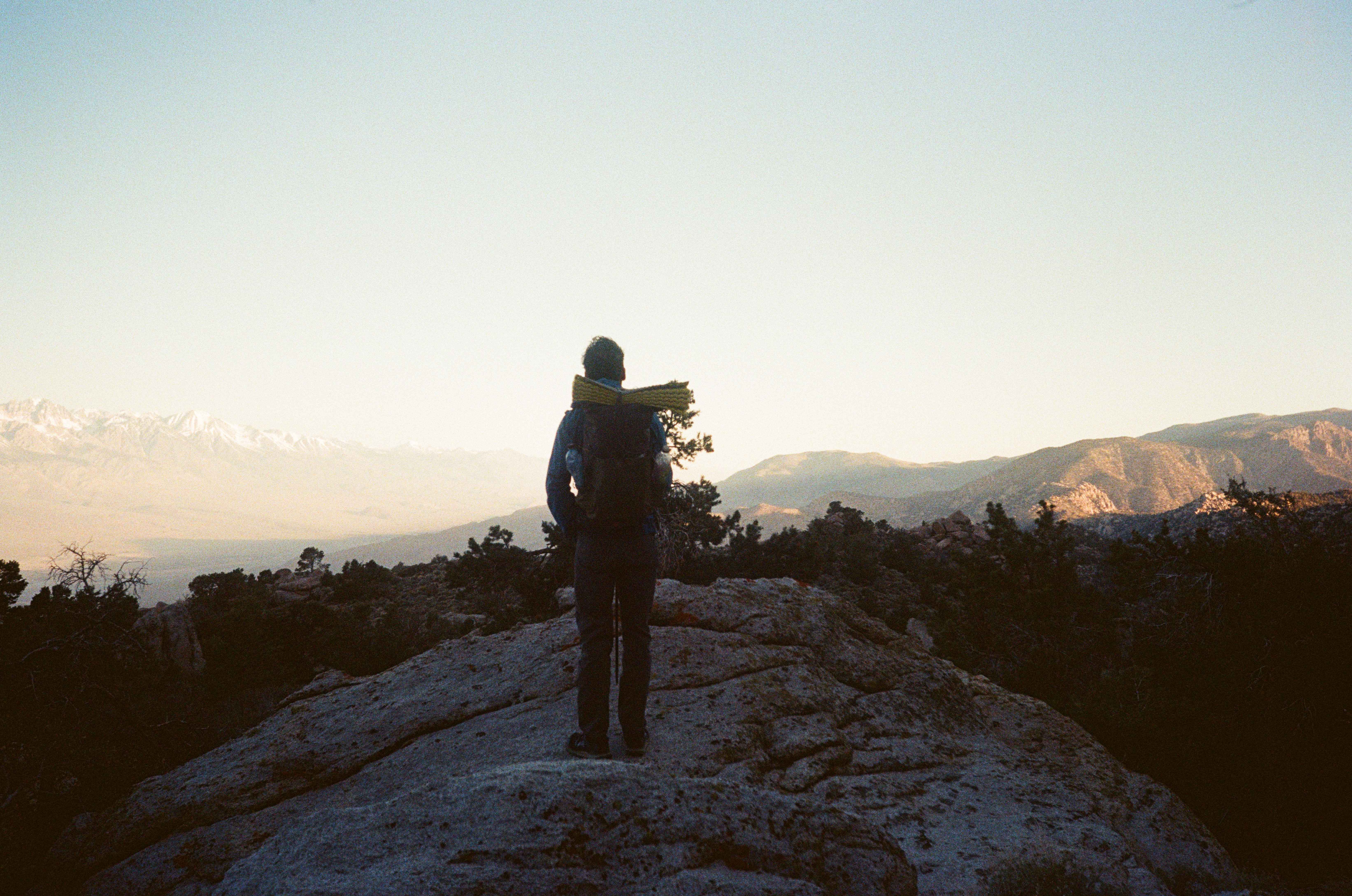
We hiked up a small hill to watch the sun set over the Sierra crest. Birch and Split mountain dominated the skyline. Scurrying back to the cars at last light, we caught up, cooked and ate dinner, and worked out a rough game plan for the first leg of the trip.
The next morning, we dutifully rose at 5:30 am and set off by 6:00. The first few miles of the hike mercifully followed well-graded dirt roads which gently rose to a saddle that offered our first good view of Waucoba Mountain. Noting a healthy amount of snow on the northern flank of the peak, we discussed potential routes to the summit. After some hemming and hawing, we decided to drop into the broad meadow below and then cut east up one of the west ribs of the peak. This would allow us to hike a couple more easy miles on dirt roads and (mostly) avoid snow on our ascent.
Once we started cutting east off-trail, we found ourselves in slow-going terrain. Anthony noted that a lot of the route him and John hiked were like this—dense scrub and awkward boulder hopping. Fortunately, the terrain was more easily traversable as we neared the steep rib leading up to Waucoba’s summit. It was a straightforward climb to the broad summit plateau.
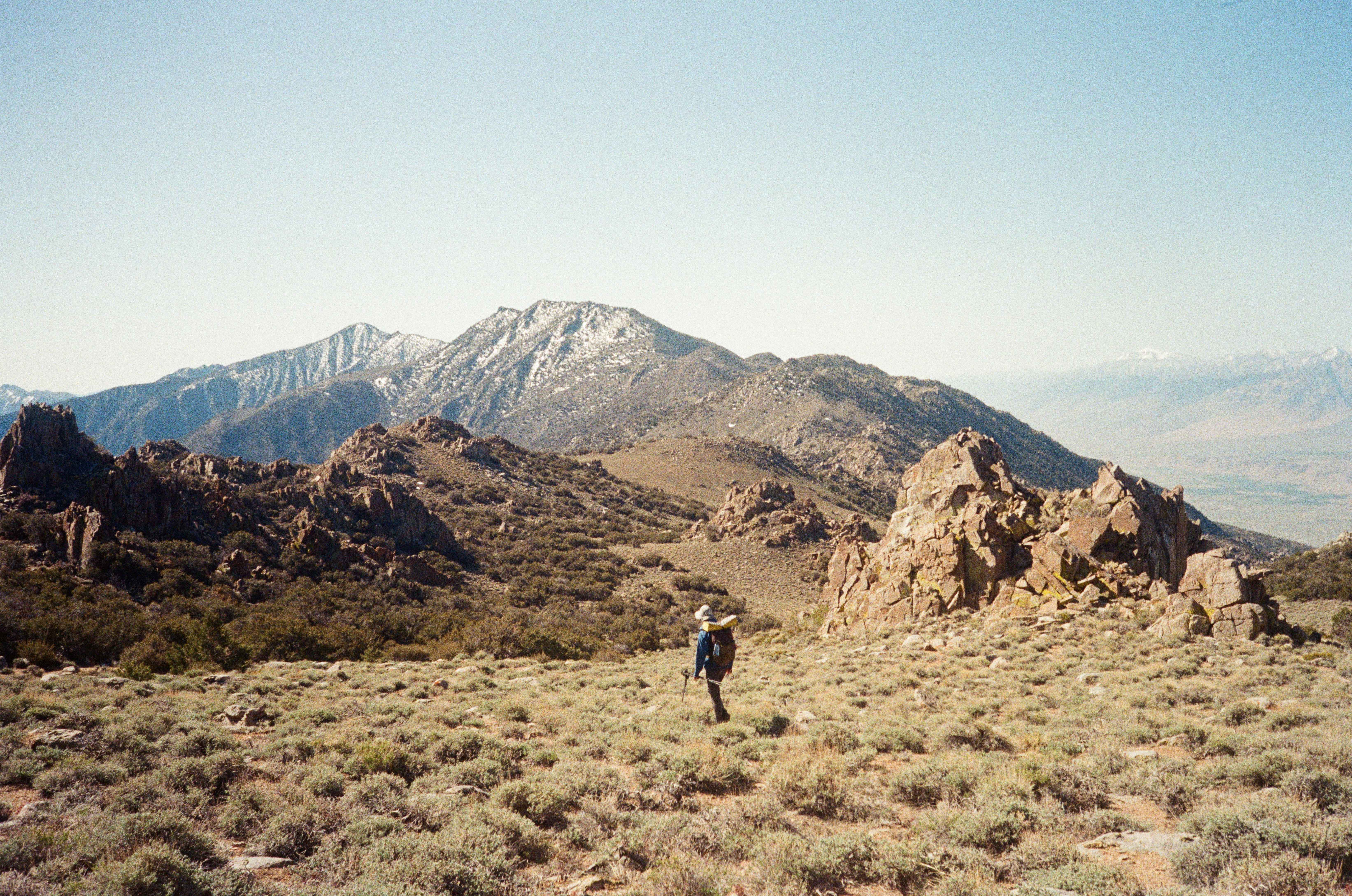
We soaked in the views of Saline Valley to our east and the magnificent Sierra crest to our west. White Mountain loomed north of us. What a stunning peak we were on! We didn’t bother trying to sign the water logged summit register, but I did manage to find my signature in it from 2022
We headed north along the mellow ridge line. A combination of faint old dirt roads and trivially easy off-trail terrain allowed for quick progress. As we made our way south and lost a bit of elevation, the forest thickened and the going got slower once again. Anthony was constantly warning me of how arduous the upcoming section was around the Winnedumah Paiute Monument and so I started mentally preparing myself for the upcoming trials and tribulations.
At some point we had a great view of the Monument, which lay on a stretch of ridge about 1000 feet below us. It was a relatively flat looking section of the range, but it was peppered with tons of huge boulders and thick forest. Our plan was to stay a few hundred feet west of the boulders on the crest. While descending, we somehow got pulled in by the siren song of the large boulders and found ourselves picking our way through a massive field of them. The going was, indeed, painfully slow. After about 30 minutes, we escaped, resolving to stay further to the west. With a few minor exceptions, we managed to stay clear of the more heinous parts of the ridge. We camped just past the monument, part way up a drainage that we’d follow for a couple miles the next morning.
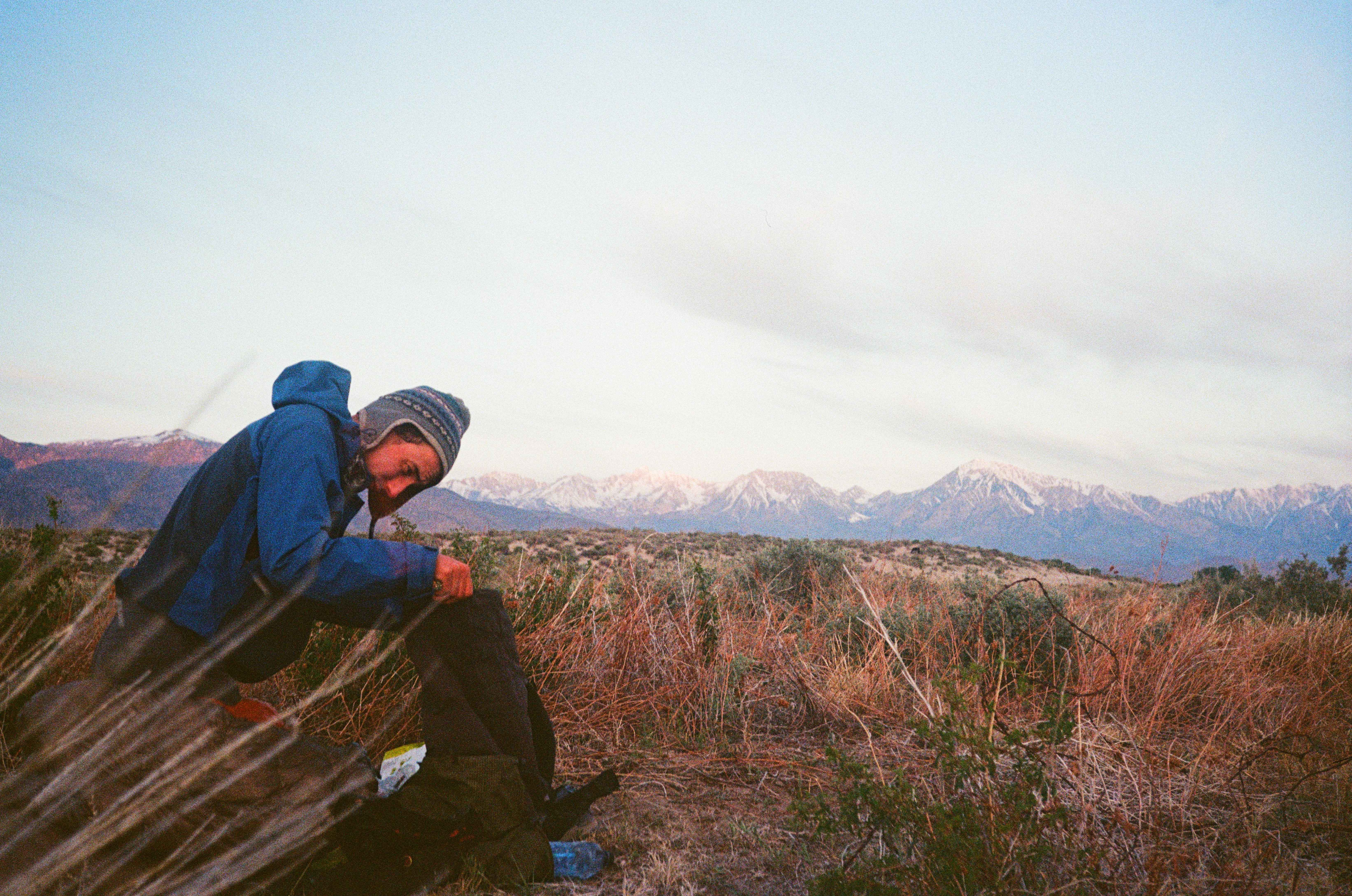
We slept soundly despite the low temperatures and howling winds. We rose early and struck on, hoping that hiking would warm us more than wearing all our layers could. Progress up the drainage was relatively quick, but our pace slowed to a crawl as the ridge became more dense with rock and scrub. It took us several hours to reach the Pat Keyes trail and even then we wandered around for 45 minutes looking for the faint use trail that would take us down 6000 feet into the Owens Valley. Eventually, we found it, and as we descended the trail became more obvious. Despite this, we lost the trail again at some point and almost descended precipitously into a canyon that would have certainly cliffed out. After backtracking and side-hilling for some time, we regained the trail and dropped down to the valley. It is incredible how precipitously this trail manages to drop for the last half mile.
A couple hours of peaceful dirt road walking led us to the 395, right across from Manzanar. The easy, mindless dirt road walking was a welcome break from scrubby ridge line in spite of the heat. There is nothing quite like the relief of tramping down a road or trail after days of off-trail hiking. We crossed the Owens river, the aqueduct, and the abandoned airport, stepped onto the shoulder of the northbound 395, and started thumbing.
Anthony was telling me about his longest wait while hitchhiking—eight hours in the middle of nowhere in Texas (I think mine was a comparatively short four hours outside of Seattle)—when a truck pulled over to pick us up, a mere 20 minutes into our hitch. Fortunately, we would not be waiting eight hours for a ride! A nice guy named Collin made some room for us and our bags in his truck. He lives with his wife in LA and they try to make it to the Sierra every few weeks to ski, climb and hike. Chatting with him reminded me about just how many secret crushers there are out there. Normal-looking white-collared workers by week, and gnarly backcountry senders by weekend.
We were dropped off right in the middle of Bishop. Our first order of business was to get burritos from the Rolling Chef. We ate them and lounged in the shade of the Chase bank building. Then we were off to Grocery Outlet for our resupply. We lounged some more in the shade out front of Grocery Outlet while sorting gear and slurping down our cold drinks. Anthony hit up our friend Abe who said he’d be free around 7:00 pm after he finished up a call. We had a couple hours to kill so we lumbered over to the park. It’s funny how much pain you realize you’re in once you stop hiking for a few hours. Miraculously, the pain almost always tends to vanish once you get back on trail.
We met up with Abe and hung out at the Artesians for a couple hours. It was too cold to fraternize outside, so we huddled in his car and talked about future trips. The Sierra. The Himalayas. Pakistan. Other Stan’s. All sort of crazy ideas. It was really good to see Abe. We only get together once in a while, but we always pick right back up where we left off without skipping a beat. I hope he makes it to the Stan’s sometime soon. Anthony and I said goodbye to Abe around 10 pm, and we laid out our sleeping bags for the night. The stars were great.
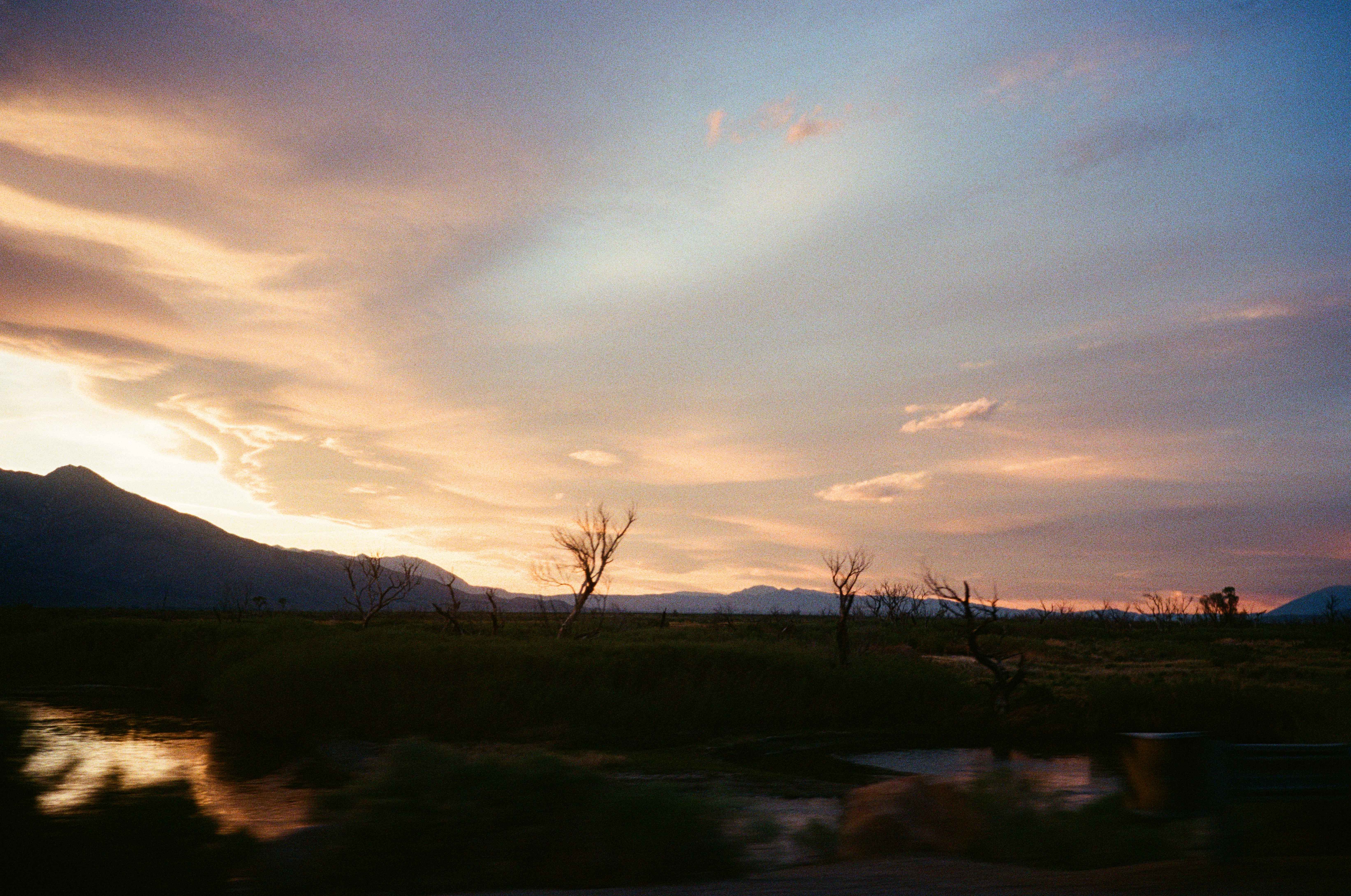
The next morning we struck on along dirt roads to the mouth of Black Canyon. We followed a dirt road that turned into a wash for some time before peeling up into the more wild reaches of the canyon. We were heartened to see the odd foot print, because we didn’t know if the canyon actually connected through to the crest. Anthony had heard from some guy who knew some other guy who read a forum post of a guy who heard of someone who might have done it a decade or so back, so we were fairly sure it would go.
Around each corner, my heart raced a bit, worrying we’d be cliffed out. At some point the canyon narrowed to a couple of feet wide, and we skirted up along the unlikely stream that ran over our feet—what a beautiful surprise! I was really taken aback by the beauty of this unexpected stream. Unfortunately, though, water means willows and trees, and the willows and trees became extremely dense. We slowed to a crawl. Sometimes we literally were crawling, working desperately at each foot of progress. Other times we were literally suspended in the air, supported by willow trunks and tree branches, making perhaps a foot of progress ever minute.
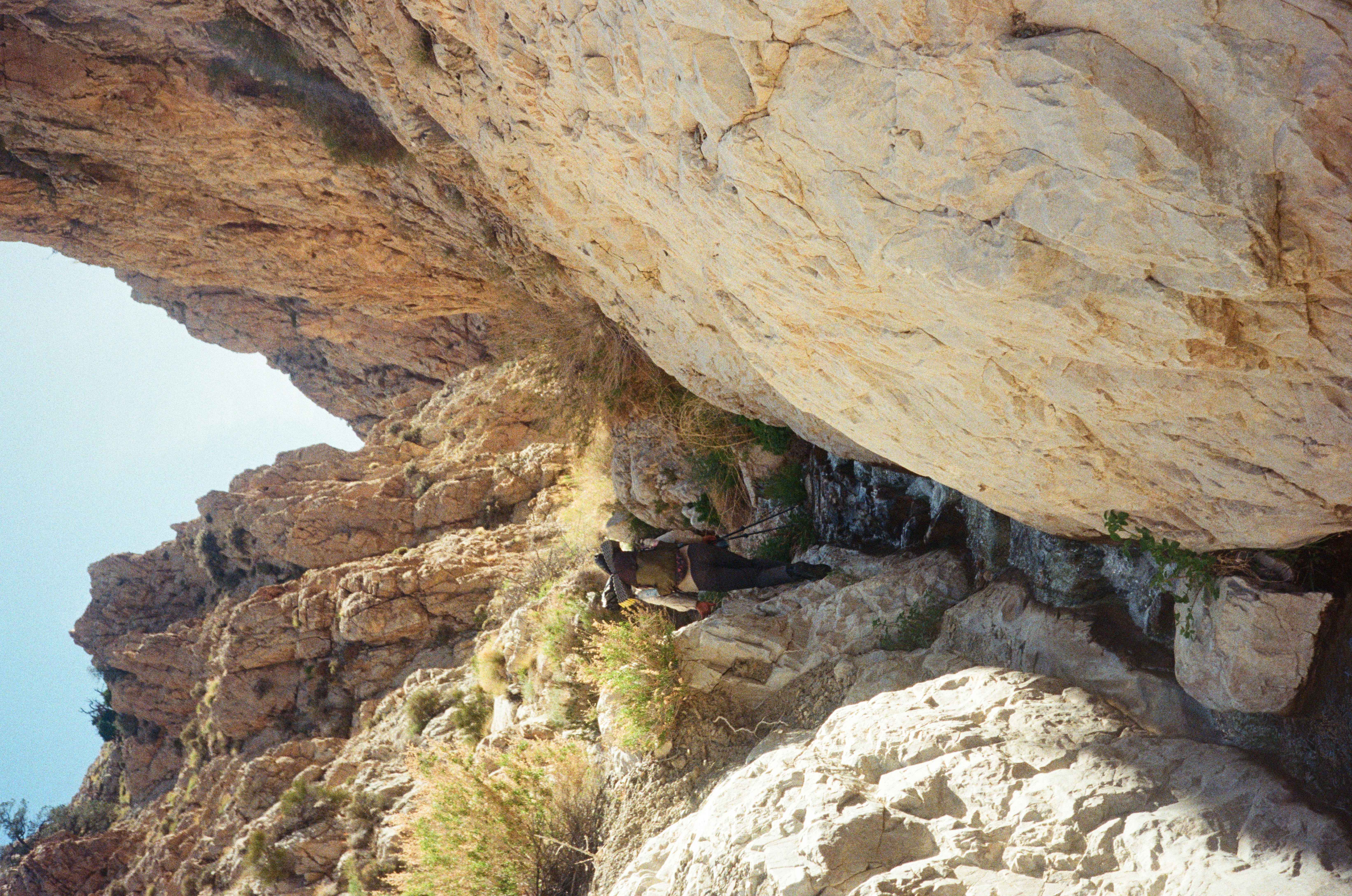
We started climbing high onto the cliffs alongside the canyon to avoid some of the worst of the thicket. But this strategy came with it’s own set of drawbacks—sketchy, crumbly rock, precipitous cliffs, and us pushing on too high in hopes of finding ways around. All these issues resulted in these forays up the cliffs not being any more efficient than crawling through the foliage. We’d always have to find some horribly sketchy chute to drop down to get back into the canyon, only to thrash around in the trees for 200 feet more feet, get fed up with it, and climb up to some other sketchy cliff all over again.
Probably five hours later we made it the one and a half miles up the canyon. We were elated to be back on old dirt roads and use trails. We took a long break and ate our snacks triumphantly. The canyon, indeed, did go. We followed excellent dirt roads and surprisingly well define single track trail south along the crest of the Whites. It was a truly stupendous area and we were completely blown away at the fact that almost no one knows that naturally splendor such as this exists just outside of Bishop. It was maybe a highlight of the whole trip. We were afforded great views of the Sierra, and also of Deep Springs Valley. We could just make out the Alfalfa fields of Deep Springs College.
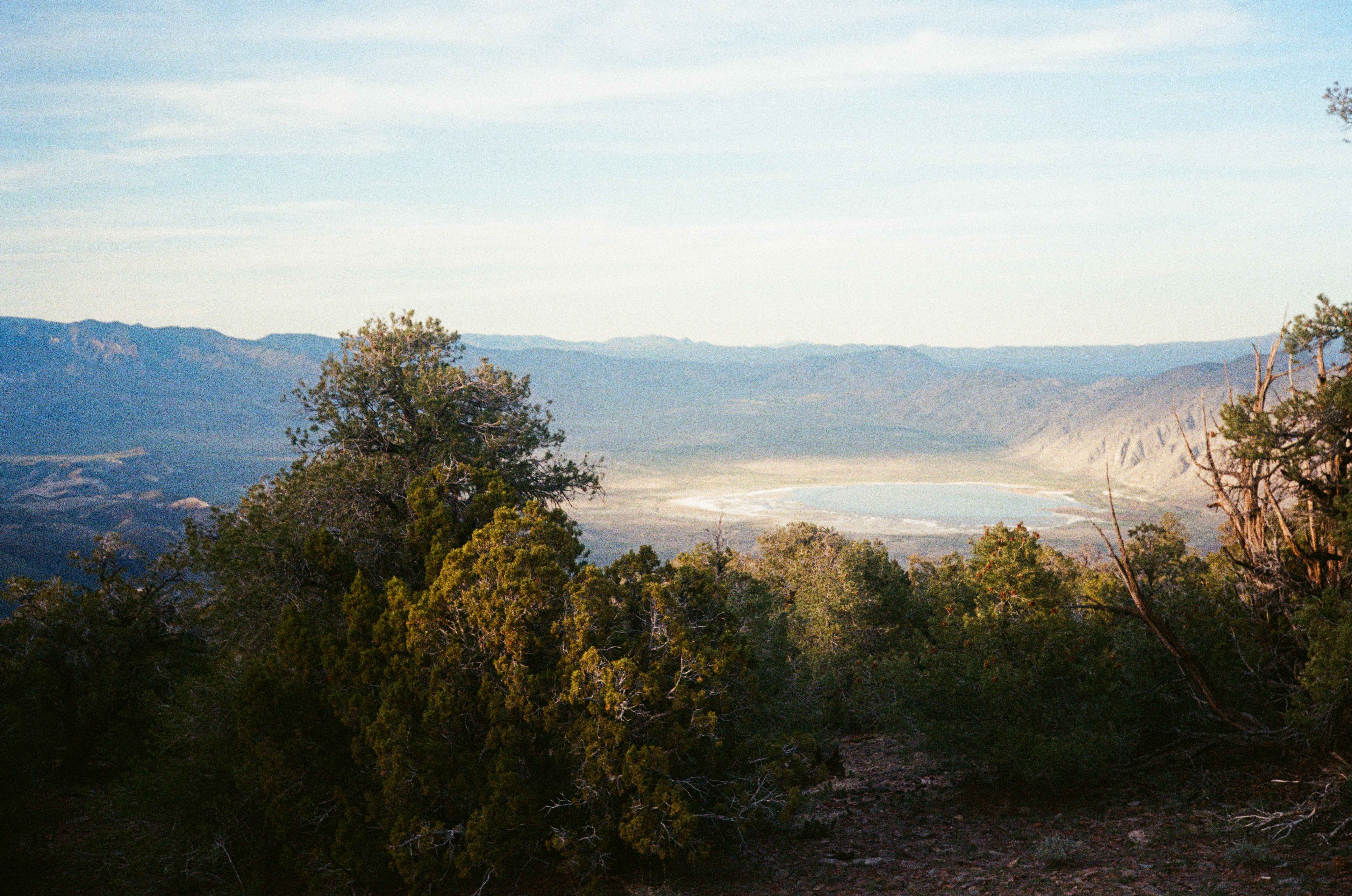
We started a gentle descent towards Saline Road and set up camp around sunset. We had only six or so miles of hiking ahead of us so there was no need to push on. The night was cold and crisp, and we slept well.
Easy dirt roads led us back to the paved Saline Road in the morning. We followed it for a couple of miles to reach our cars. A full traverse of the Inyos, the proudest line one could take along that range, complete. I suppose Anthony still needs to go back for the Lonesome Traverse, and I’m sure he will sooner or later. Anthony and I unpacked our gear and organized our cars. Eventually, we said “goodbye.” I thought this might be our last trip of the year, but fortunately a month or so later we were able to sneak in a romp in the Sierra.