Saline Range Loop
Peaks: Eureka Peak
March 2025
Anthony and I had such an excellent few days in Eureka Valley that I just had to stay for longer. Originally intending to drive out to Death Valley proper after our trips to explore the Grapevines, I decided to optimize for continuity and do another trip in the northern reaches of the park.
Anthony gave me some rough beta for a loop he did in the Saline Range several years ago. I did not have any good topo maps downloaded, but between the rough map on my phone and the 1:165,000 scale paper map I had of the park, I figured I’d be fine enough.
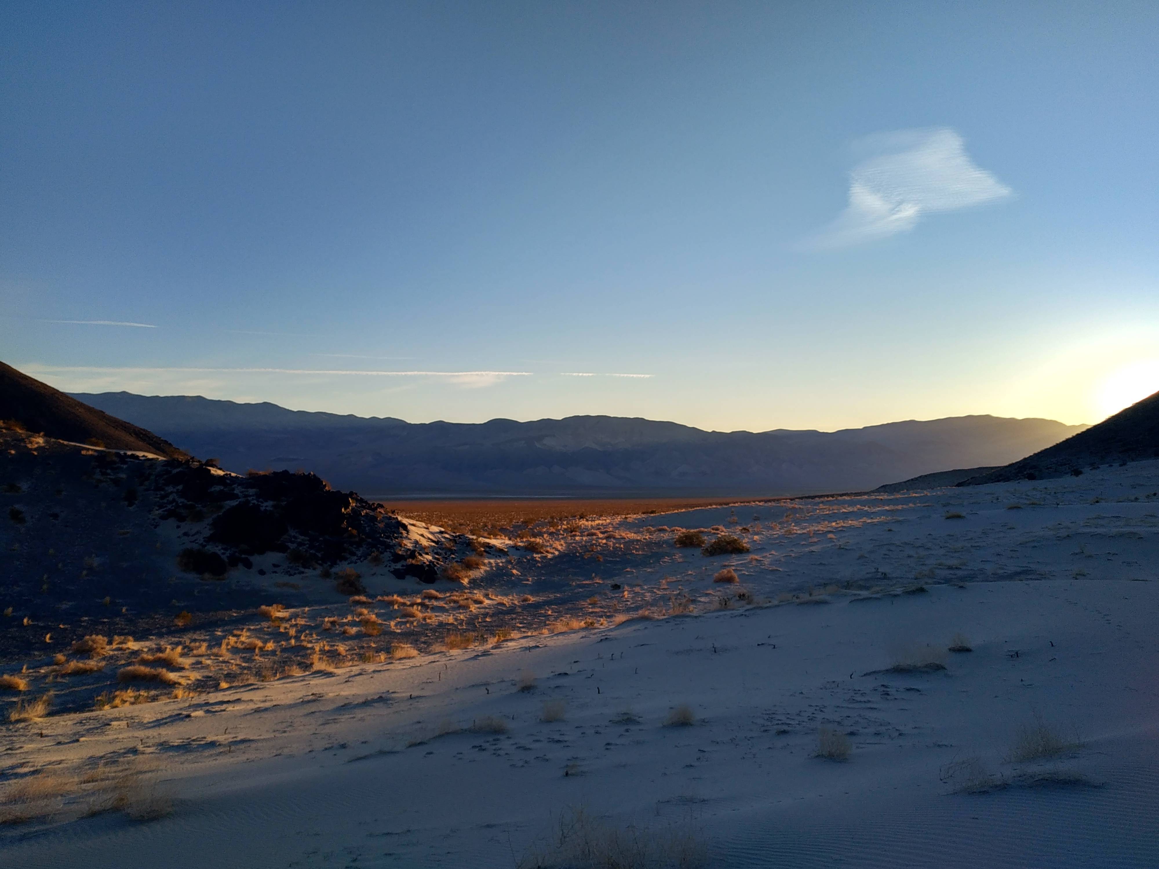
I woke up much before dawn, at 4:30 a.m. or so, and started hiking by five. The route started with a three mile walk down an old dirt road, followed by some cross country travel to an inconspicuous notch in the range that hid a secret gem of the Saline Range, the Hidden Dunes. After a little over an hour, the uniform desert landscape of hard dirt, scattered rocks, endless creosote and cacti gave way to sand. As dawn’s early light began to show I found myself at the foot of these miraculous dunes.
I charged clear up to the very tallest of the dunes and reveled in their glory for some time. What a unique and seldom beheld feature of the remote Saline Range. My effort expended to slowly plod up the dunes was rewarded by the twenty seconds it took me to run down their western flank back to solid ground. From there I aimed for the mouth of Marble Canyon, the gentle canyon that would take me all the way to the crest of the range. Or so I thought.
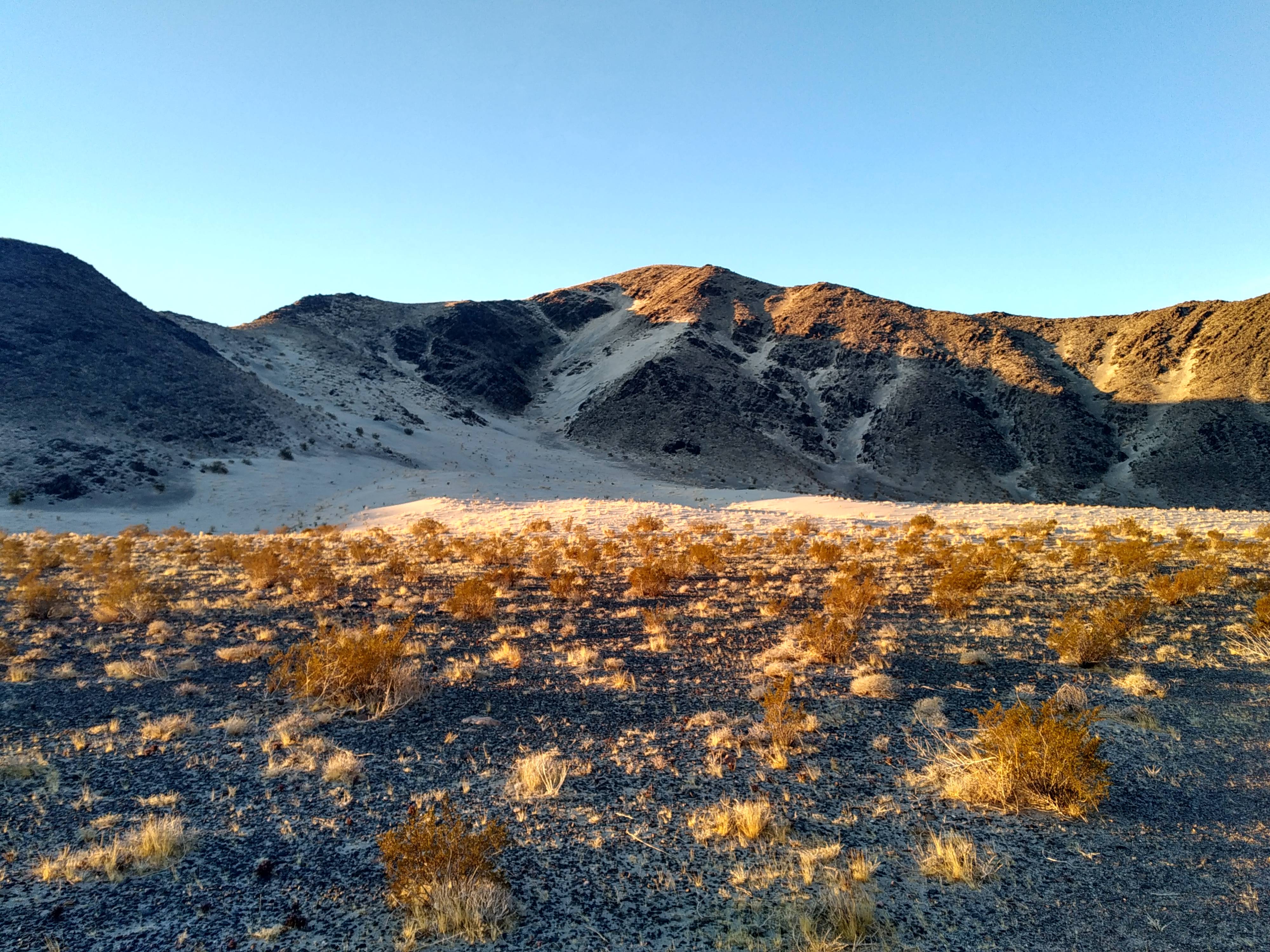
When traveling up a canyon, there are numerous forks that one must carefully consider. Often times the main wash or canyon is obvious enough, but sometimes they look roughly equivalent in size and prominence. Unfortunately, all but one are the canyon you are looking for, the rest normally end up with some drastic impassable dryfall or chockstone, or some otherwise unexpected terminus.
And this was my fate. I took what seemed to be the correct route, but sure enough, after some time the canyon became narrower and narrower. Giant piles of boulders started choking the canyon and slowing my progress. This was not the gently, flat, gravelly wash that Digonnet has promised in his description of this canyon. Once I started encountering a couple of ten-foot dryfalls, I knew I had erred. These were passable, but soon I came upon a tricky-looking thirty-foot fall that gave me pause. It looked maybe class three or four, and the rock turned out to be solid and so I scrambled carefully up it. The canyon seemed to be broadening out at this point to my relief.
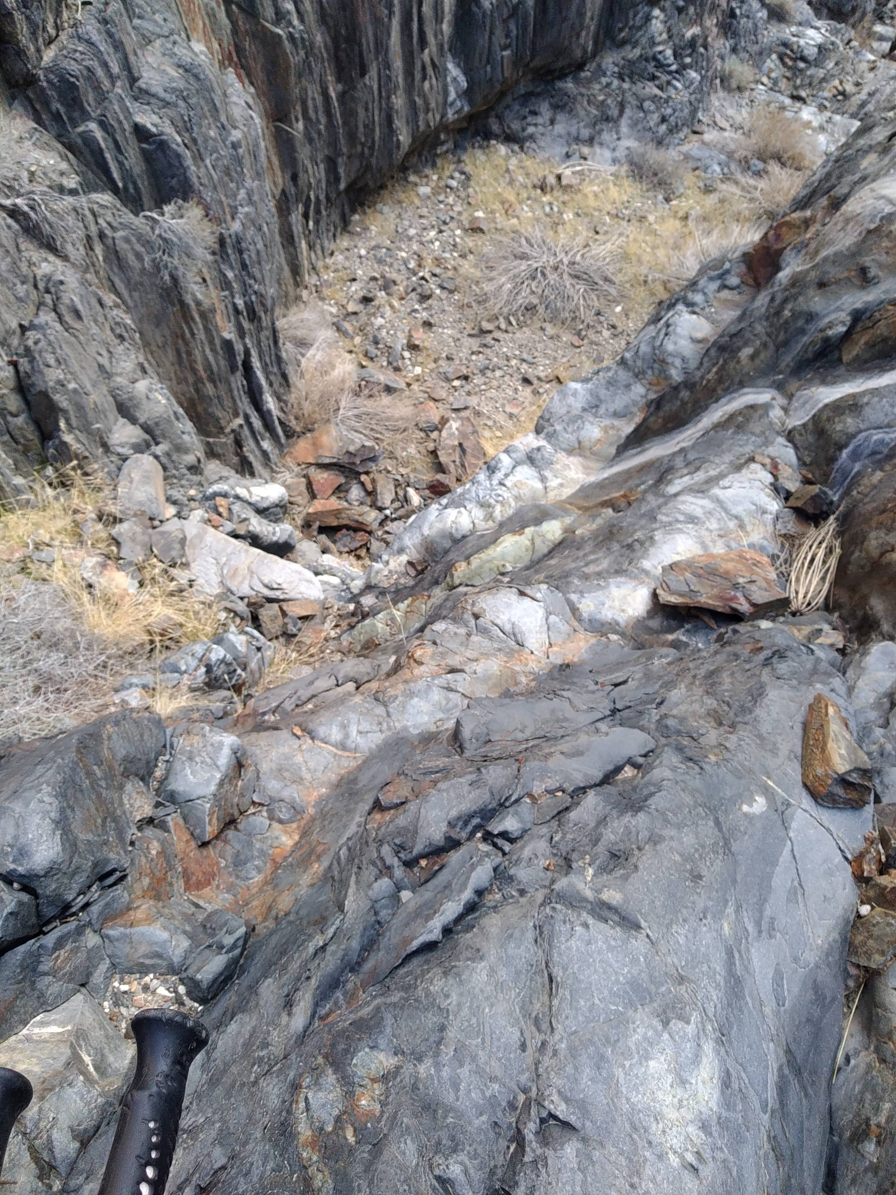
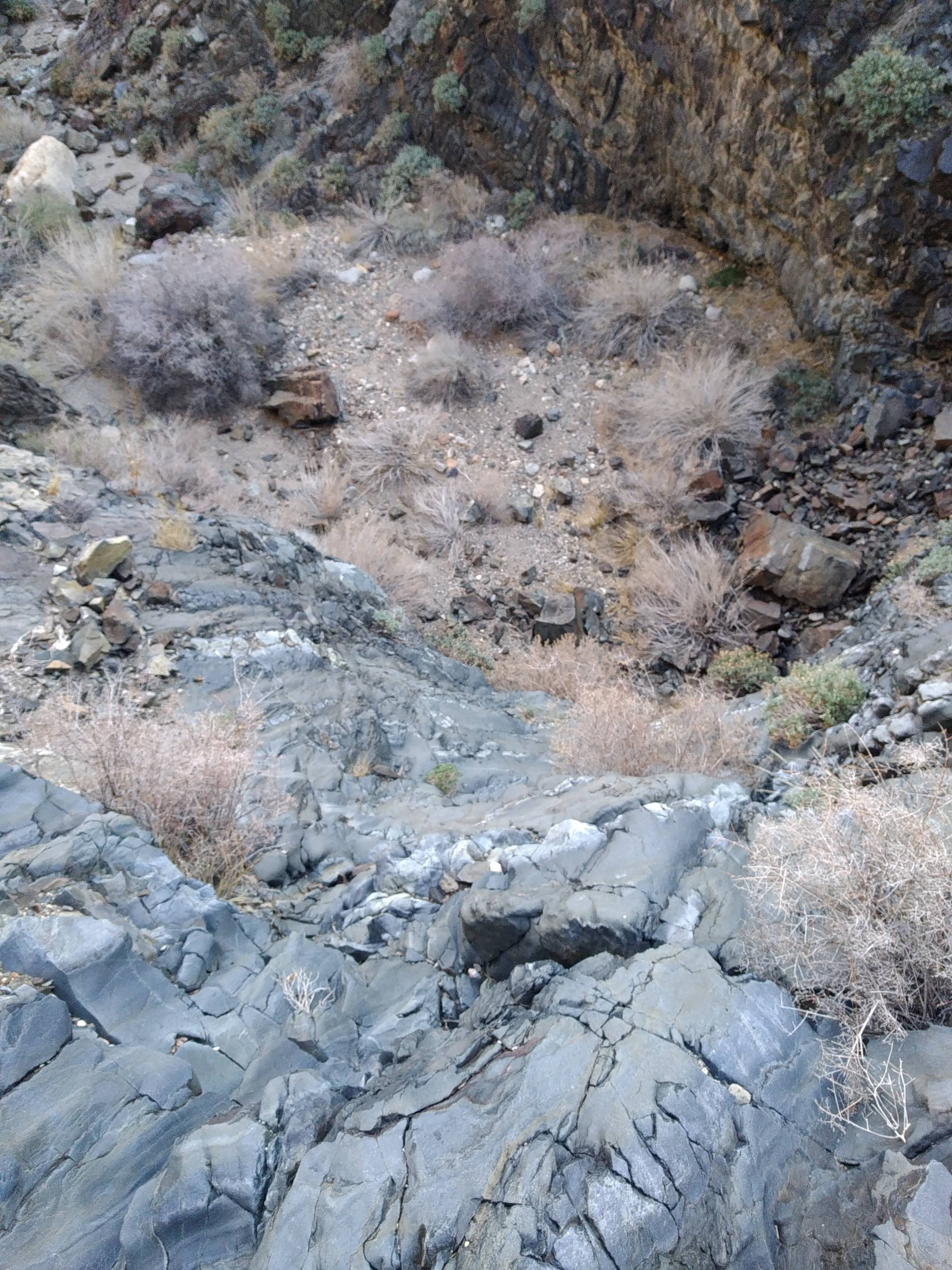
I cut right when I could, knowing I was probably somewhere south of the canyon I was looking for. Eventually, I scrambled to a ridge that allowed me to see Marble Canyon down its backside, maybe a thousand feet below. I pondered just walking along to ridge to get to my next destination, but opted to drop in the wash instead. Once in the wash, the going was easy, and I happened upon a well kept cabin with a water cache that I gratefully took half a liter from.
From here, I had several hours of road walking before I’d cut east for Eureka Peak. I was treated to miles of easy walking on the dirt roads and excellent panoramic views. The Inyos shot up steeply to my west thousands and thousands of feet above the Saline Range. To my east was the Last Chance range, and I enjoyed looking at the ridge Anthony and I had just traversed over the last three days.
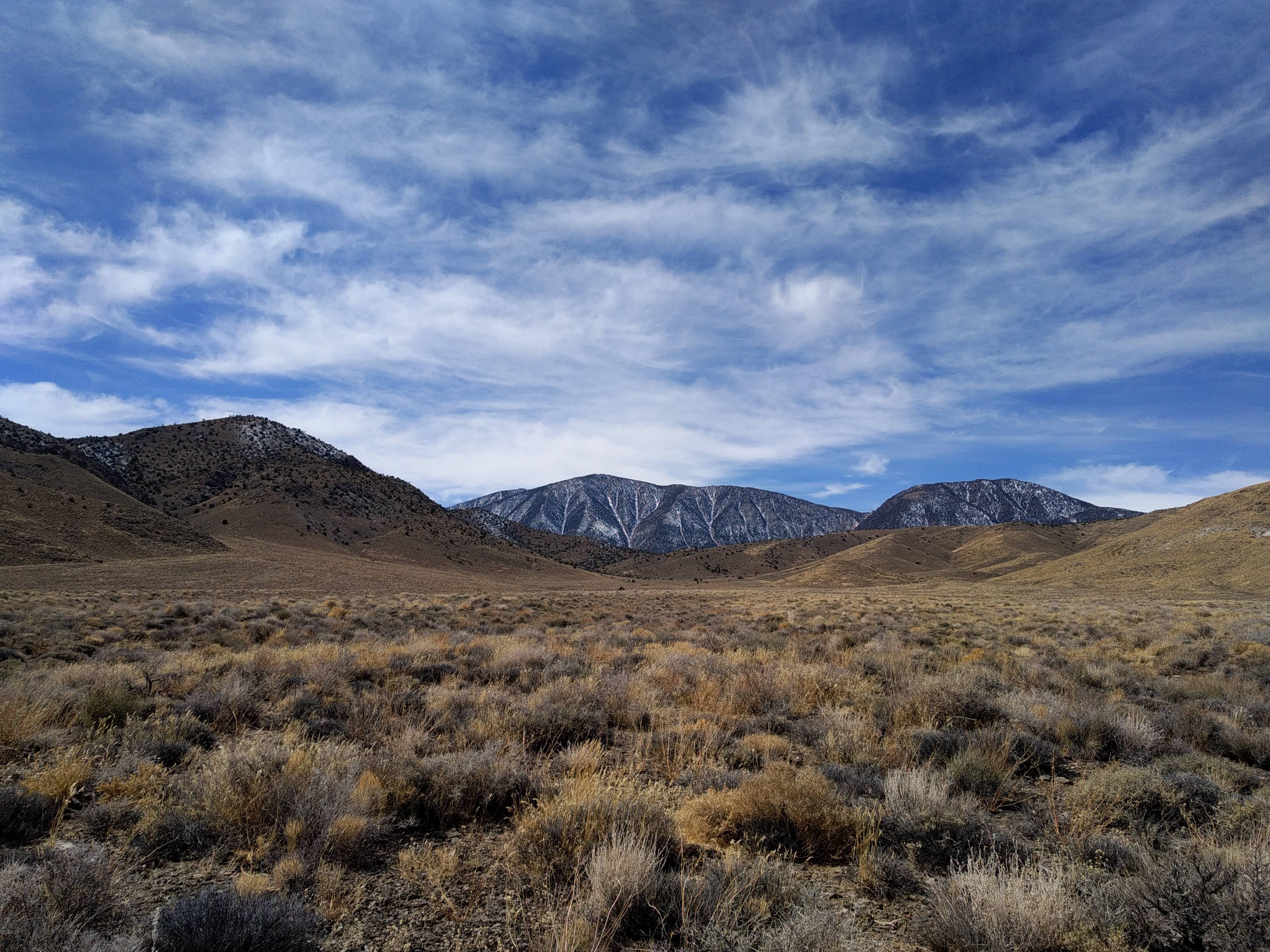
Once I cut east, I was traveling off-trail once again. Eureka Peak looked extremely close once I reached a small saddle that afforded me a view of the peak. But this was a mirage, as it actually lay three grueling hours of hiking away. At one point I hiked through a quarter mile of mercilessly spiky thistles that drew plenty of blood from my bare legs. Eventually, I made it to rockier terrain and picked my way up the easy class two western flank of the peak. I took a nice long break at the summit, enjoying the view into Eureka Valley. I couldn’t relax for too long, as I wanted to get to the valley before sunset, as I had no idea what ridge would take me down from the peak. Huge gorges and canyons cut down and across the broad ridges from Eureka peak, and I was worried I’d choose the wrong line and get stranded.
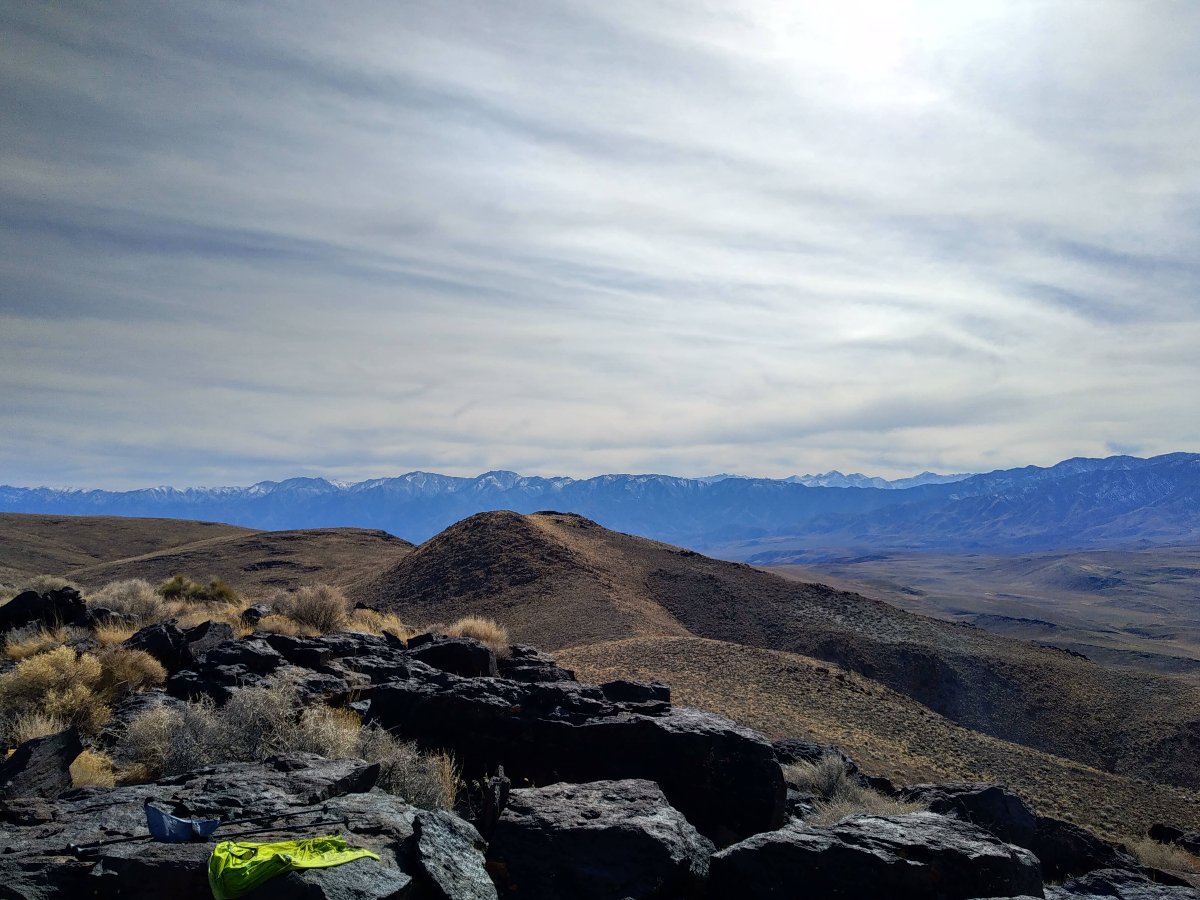
Fortunately, after a few misfires, I found a ridge that went clear down to the valley just as the sun was setting. It was a huge relief. I was making great time and decided to try hiking all the way back to the car that night instead of camping on route.
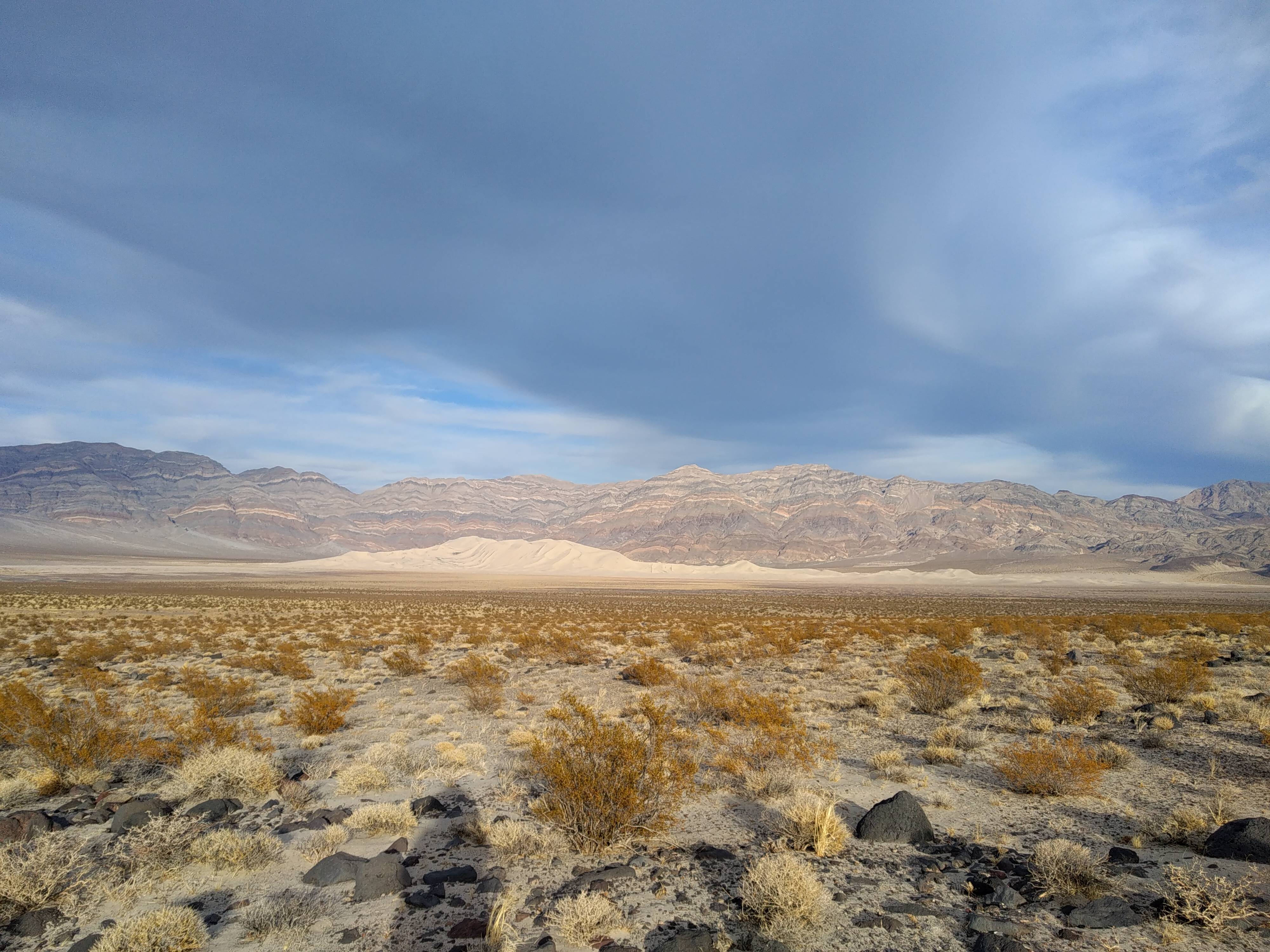
The stars and moon provided enough light that I hardly needed my headlamp, and I spent about five sublime hours of easy desert hiking to the car. The silence was unmatched. The weather was cool and pleasant. The stars shone brightly. I reached the car once again in the state of great peace only possible when alone in the vast expanse of desert like this one.