Sierra Double Crossing
June 2022
As usual, all the good photos from this trip are from Anthony. It is funny how quickly memory fades, and the fine details of this trip are already hard to recall. I’ll do my best. Anthony and I were back at it again, this time with the goal of crossing the Sierra crest twice in one trip. Our route would involve a good smattering of trails, off-trail traipsing, peaks, and to our surprise, some interesting weather. While sorting gear down in Independence, Anthony noted a potential storm coming in for one afternoon while we’d be out. We thought little of it, finished our packing, snagged a hitchhiker, and headed up to Onion Valley.
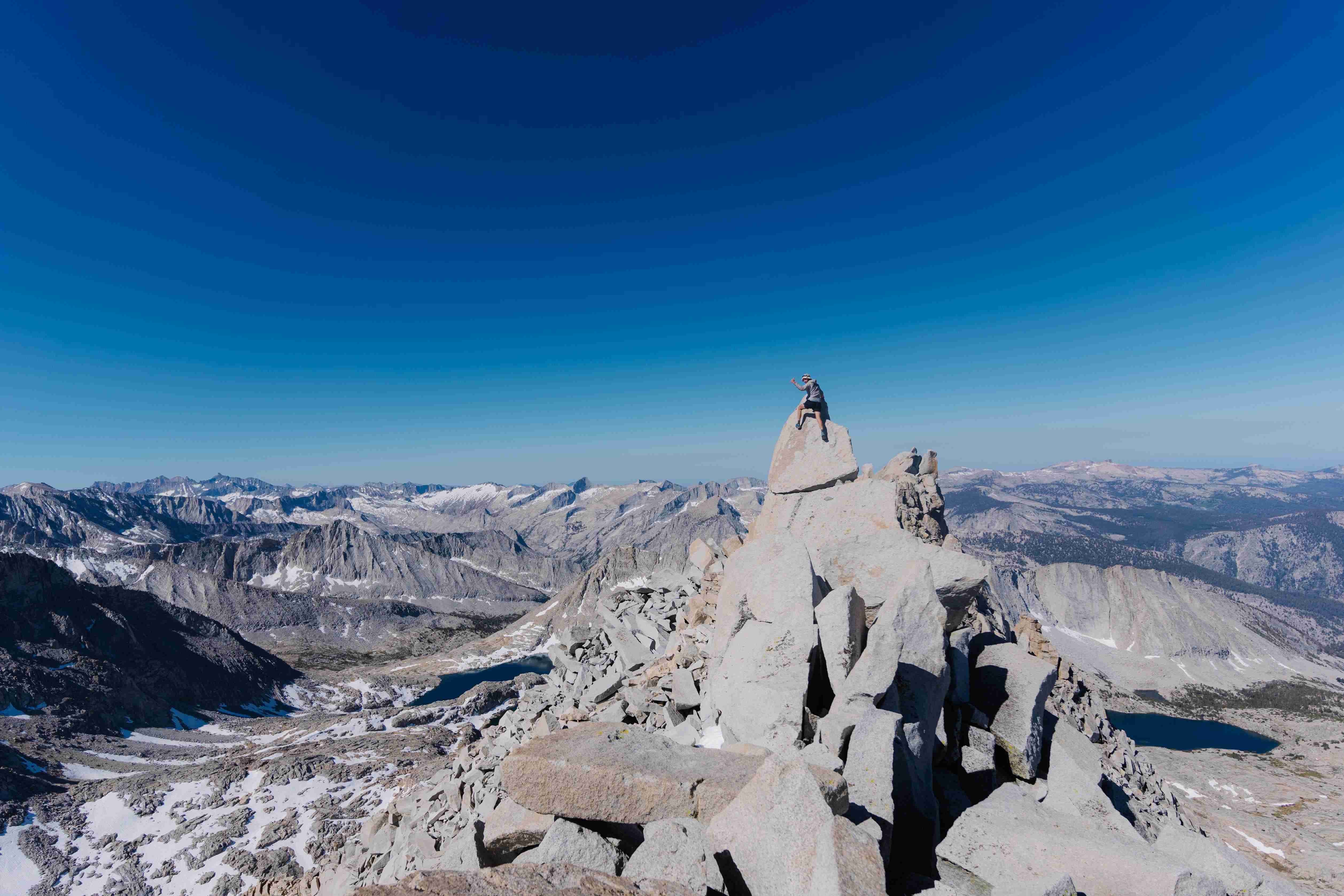
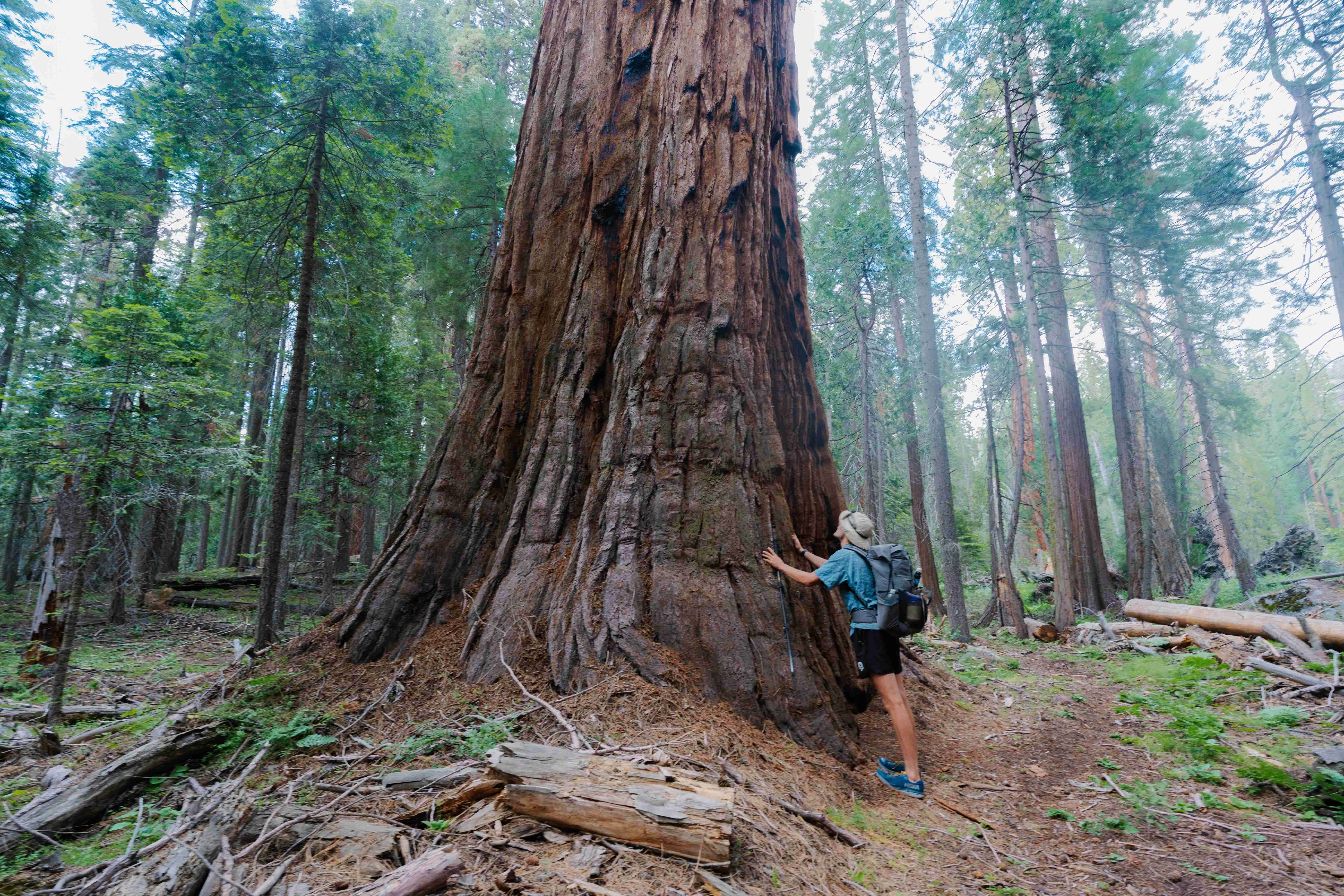
Our first major objective was Mt. Brewer. This is one of the SPS Emblem Peaks, and certainly one of the finest in the whole of the Sierra. It dominates the Great Western Divide, a large crest that sits on its own, independent of the Sierra Crest. The peak was named after William Brewer, who led the first major expedition into the Sierra for the purposes of mapping and geological study. We made our way up to the peak slowly from the East. The scenery was spectacular, feeling particularly remote after we left trail. We ascended the peak’s east ridge, which was fairly straightforward until the very top. The proper peak of Brewer apparently lay slightly north of the false summit that housed the summit register. We signed the register, and begrudgingly decided to go for the summit proper, one at a time. A short stretch of face climbing, made more exciting in my sneakers, led to the summit block. I tapped the summit, not feeling any particular draw to making a sketchy move to sit on it. Anthony was next, who found a sneaky line around the back that saw him to the summit, where he took a triumphant seat. I went back to check out his route, which proved to airy for me. For good measure, I climbed the face again, this time hoisting my center of mass well over the summit. Henceforth, Anthony and I have defined a successful summit as “getting one’s center of mass over the summit block”—this saved my ego a deadly blow.
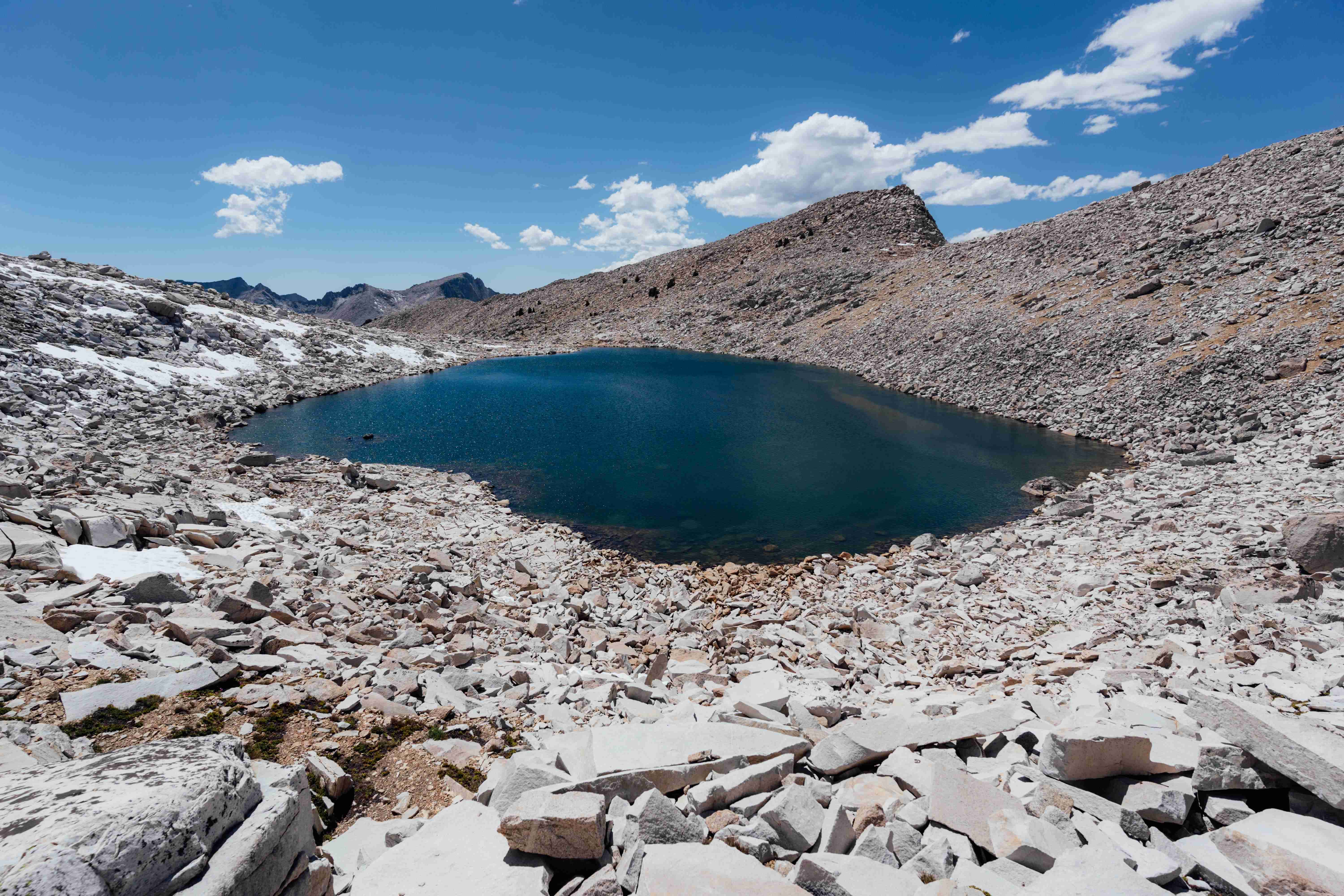
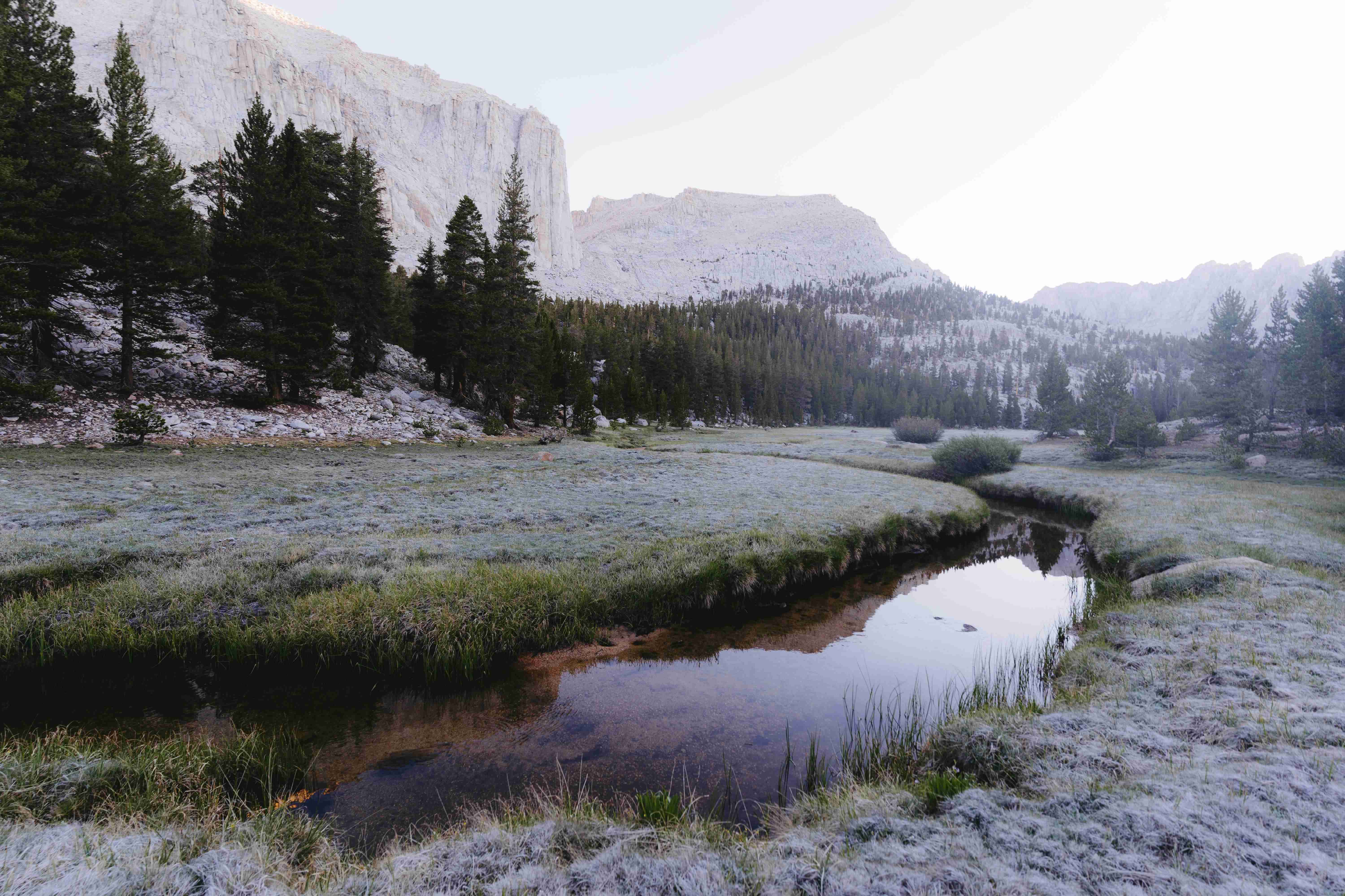
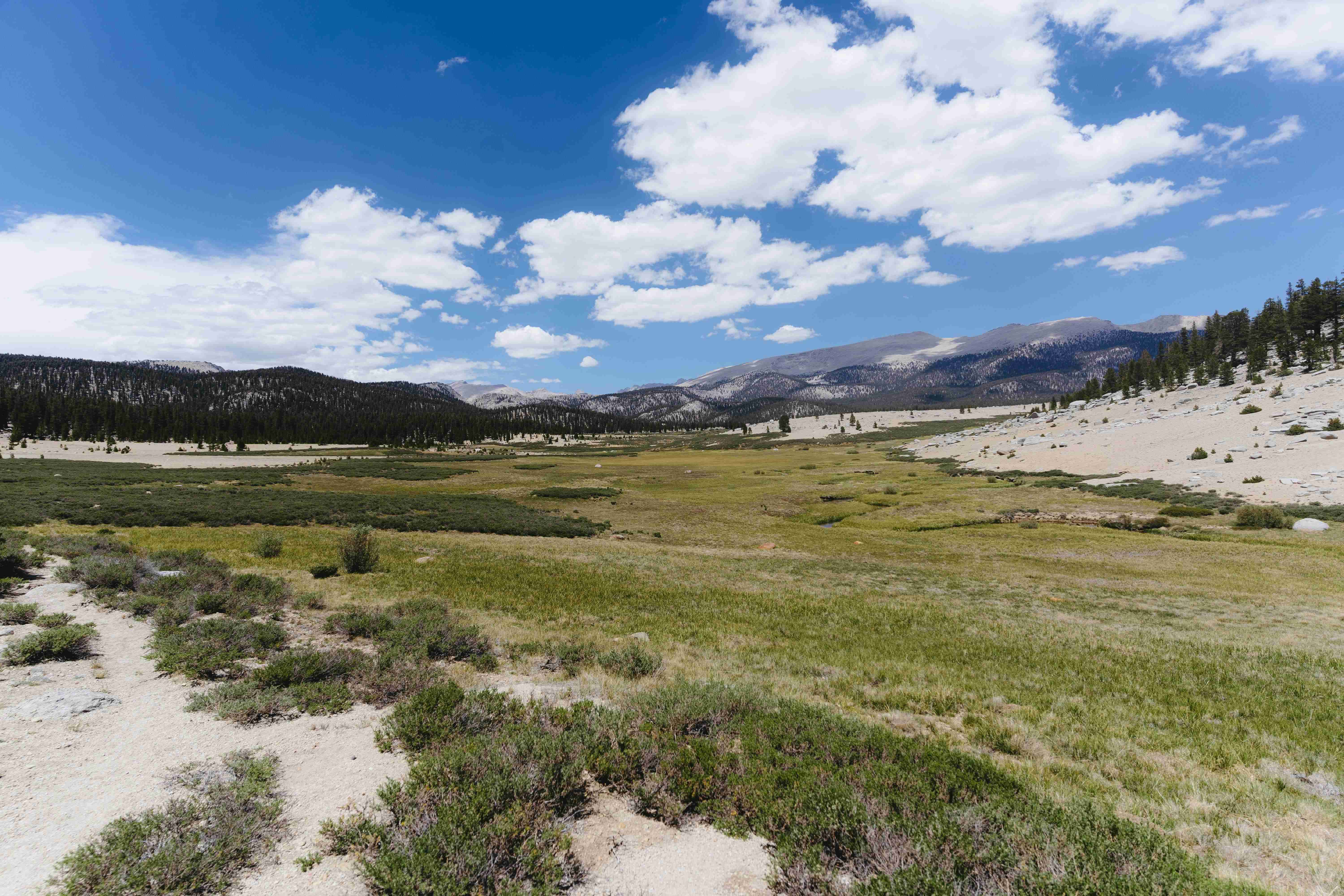
We descended southwest into a gorgeous basin of lakes that still held significant amounts of snow. The travel proved easy enough as we passed lake after beautiful lake. The Great Western Divide towered over us to our left—these peaks could not be called inviting, but perhaps their severity is what draws me to them. The traverse of this crest is certainly on my tick list. After skirting the range, we cut across to Cloud Canyon, certainly one of the most beautiful places I have set foot. We had to pay for this scenery not only in physical exertion, but with our blood, as mosquitos brutally attacked us for hours while we slogged up canyon. I donned my bug jacket, but they had no issue penetrating my armor. The only way to deal with mosquitos of this intensity is simply to make an attempt at stoicism or ascetic non-attachment. They eased their offensive as we made our way to the head of the canyon. The next morning, we’d need to be going up and over Coppermine Pass, so we decided to leave the canyon and get some of the climb under our belt that evening. We broke camp at around 10,500 feet.
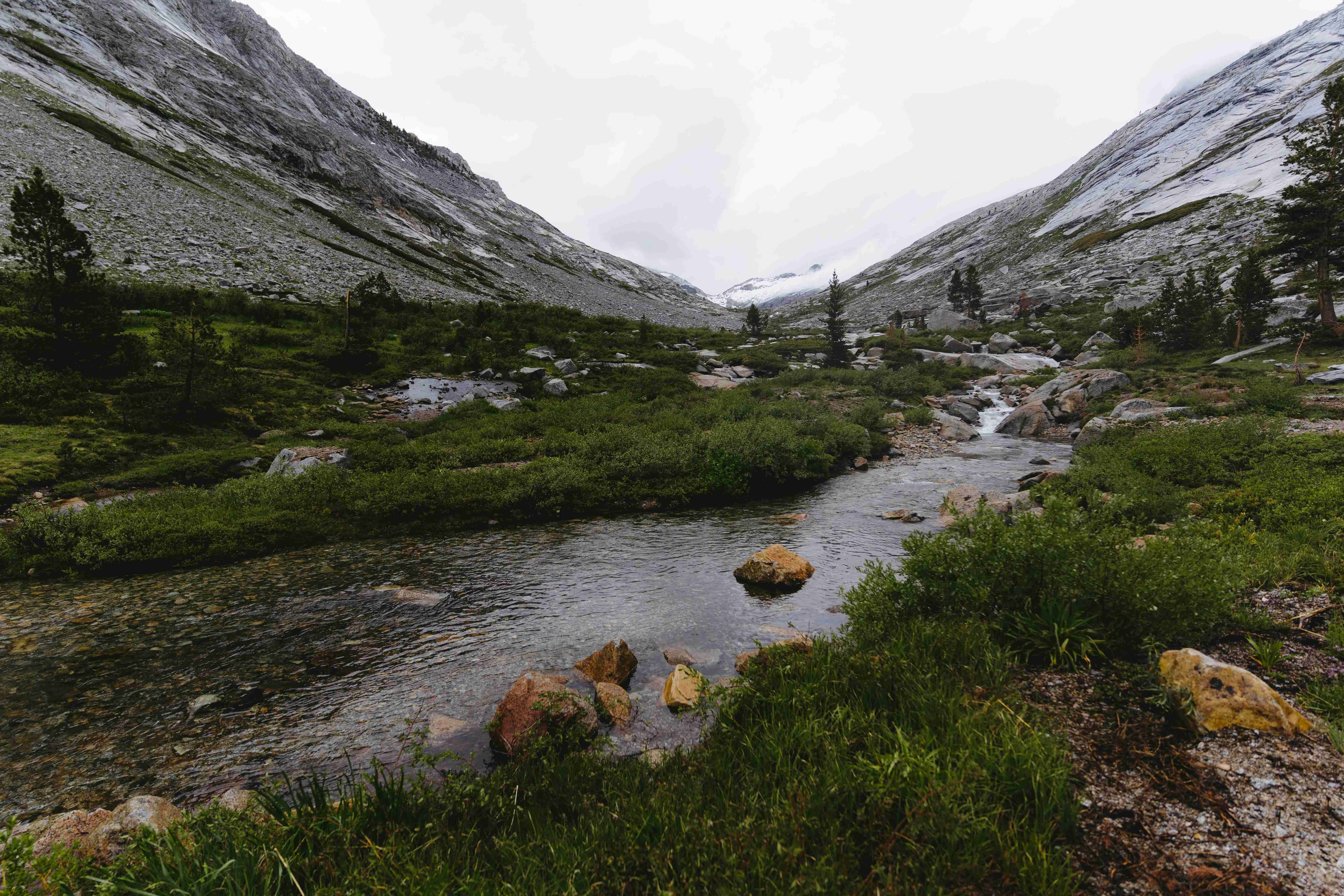
I set up my tarp to keep warm, and Anthony decided to go without it. Around midnight, I heard some gentle pattering. I couldn’t figure out what it was, but eventually realized that it was rain. When we drifted off to sleep there wasn’t a cloud in the sky. I heard Anthony rumbling and grumbling as he set up his tarp. It is always a real joy to be waken up in the middle of the night by rain without one’s shelter set up. There was very little rain through the course of the night, but when we woke up, clouds still dominated the sky. We debated whether or not to risk continuing along our chosen route, which traversed for several miles along exposed ridge line above 10,000 feet. The rain was not so much an issue as the potential for thunderstorms. Anthony used his satellite phone to check the forecast and ask Ari for an update. She said there were to be scattered thunderstorms all week. Shortly after this, the rain started coming down along with a wild flash of lighting followed by the booming clap of thunder. The thunder continued on, making our decision to bail out to lower elevation an easy one. We descended back down Cloud Canyon, linking up with a long trail that would take us west. We would end up near where we were planning, but slightly further north than originally intended. The rain did not let up all morning, and we were thoroughly soaked for the entirety of the day. Fortunately, the dreary weather meant no mosquitos! Anthony donned a cotton shirt under his rain jacket, which kept him nice and cold, a fact he kept me well aware of as he shouted “cotton kills!” every fifteen minutes or so. We joked and exchanged scattered banter like this throughout the day to keep spirits high. An unoccupied ranger station, which was locked, nonetheless provided us with a covered awning to rest, plan our route, and eat some food. Anthony took off his shirt which warmed him up considerably. Cotton kills! The rain still pounded down. We cracked on after consulting the map to make sure we were on track.
The weather let up in the afternoon, affording us an opportunity to take a break, eat, and dry gear. Eventually, we popped out on an old dirt road, and followed it a couple miles to a pack station. I sweet talked the manager, Nicole, into letting us camp out on their property. Anthony and I were both sure to pitch our tents this time, in case of more nasty weather. Fortunately, by morning, the skies were clear, and we began our long road walk and hitchhiking adventure to Lodgepole, where a small general store awaited us for a resupply. Our plans were not decided, as to whether we should head back east into the mountains, or bail out and hitchhike back to the cars (a long and circuitous hitchhike it would be). Anthony kept pushing, partly in jest, for the Theodore Solomons Trail (TST) as our return route. I was not sold.
We saw Nicole again, driving down in her old Chevy pickup, and hitched a ride to the main road with her. We sat in the truck bed, quintessentially peppered with empty Keystone Lights and hay. Once dropped off at the intersection, we hitched for another hour or so, before being picked up by Anjin, an evolutionary genetics phD candidate. As a testament to our racket of a higher education system, he was cruising around in an old Camry that barely ran, presumably purchased with his sub-$30,000 a year salary for his highly skilled labor.
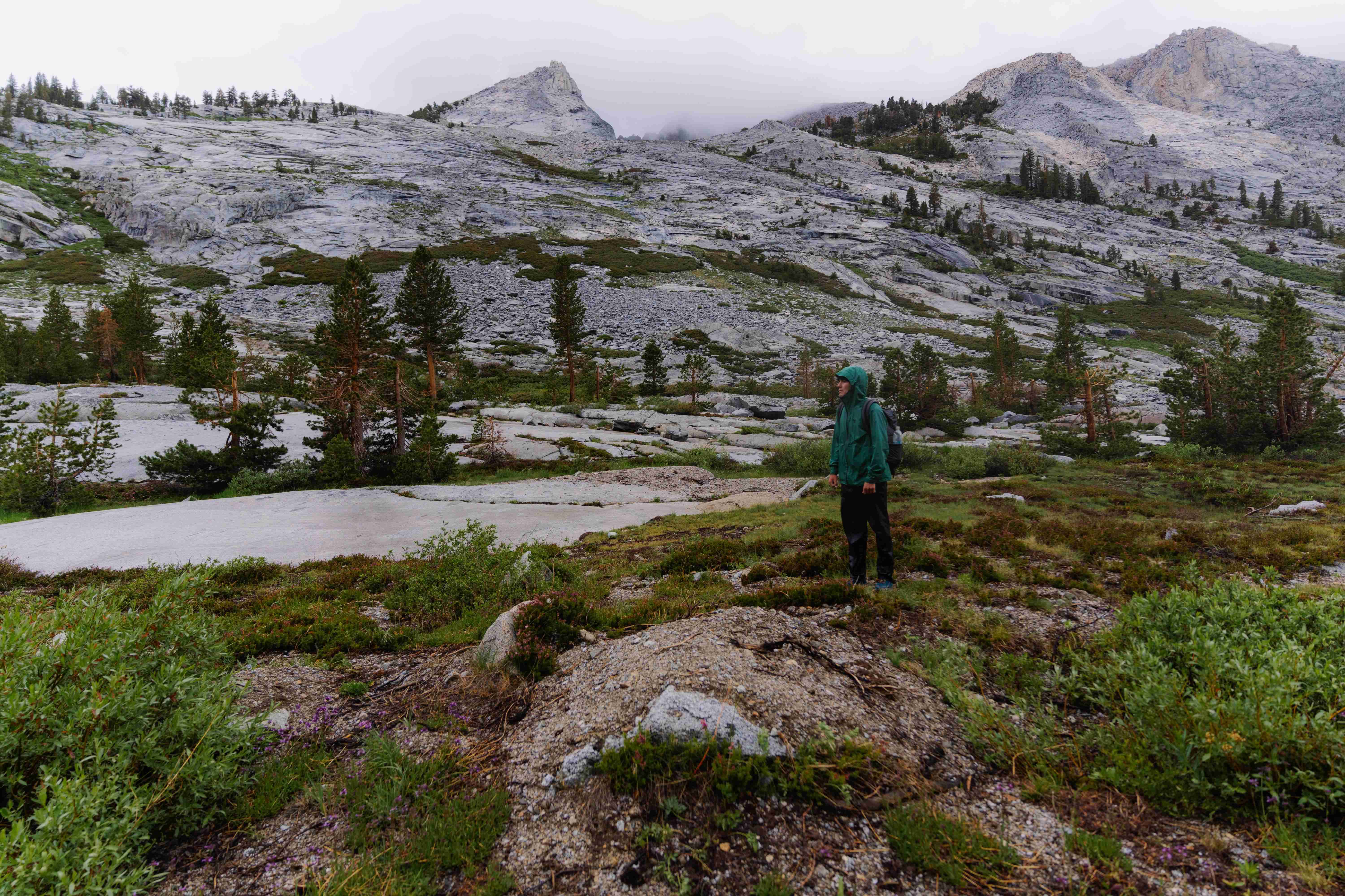
We made it to Lodgepole, snagged a few days’ worth of food, and dried our gear for some time. Anthony convinced me to head back into the bush with him along the TST and so we took the bus that operates within Sequoia National Park to the start of the High Sierra Trail. From here, we hiked a few miles, eventually linking up with the TST. The trail was rugged, remote, and non-existent at points. Fortunately, it also travelled at lower elevation than our original route, so even if we did get soaked by rain, we likely wouldn’t also be zapped by lightning. It did rain and thunder on us most days, but below the tree-line, we felt relatively safe.
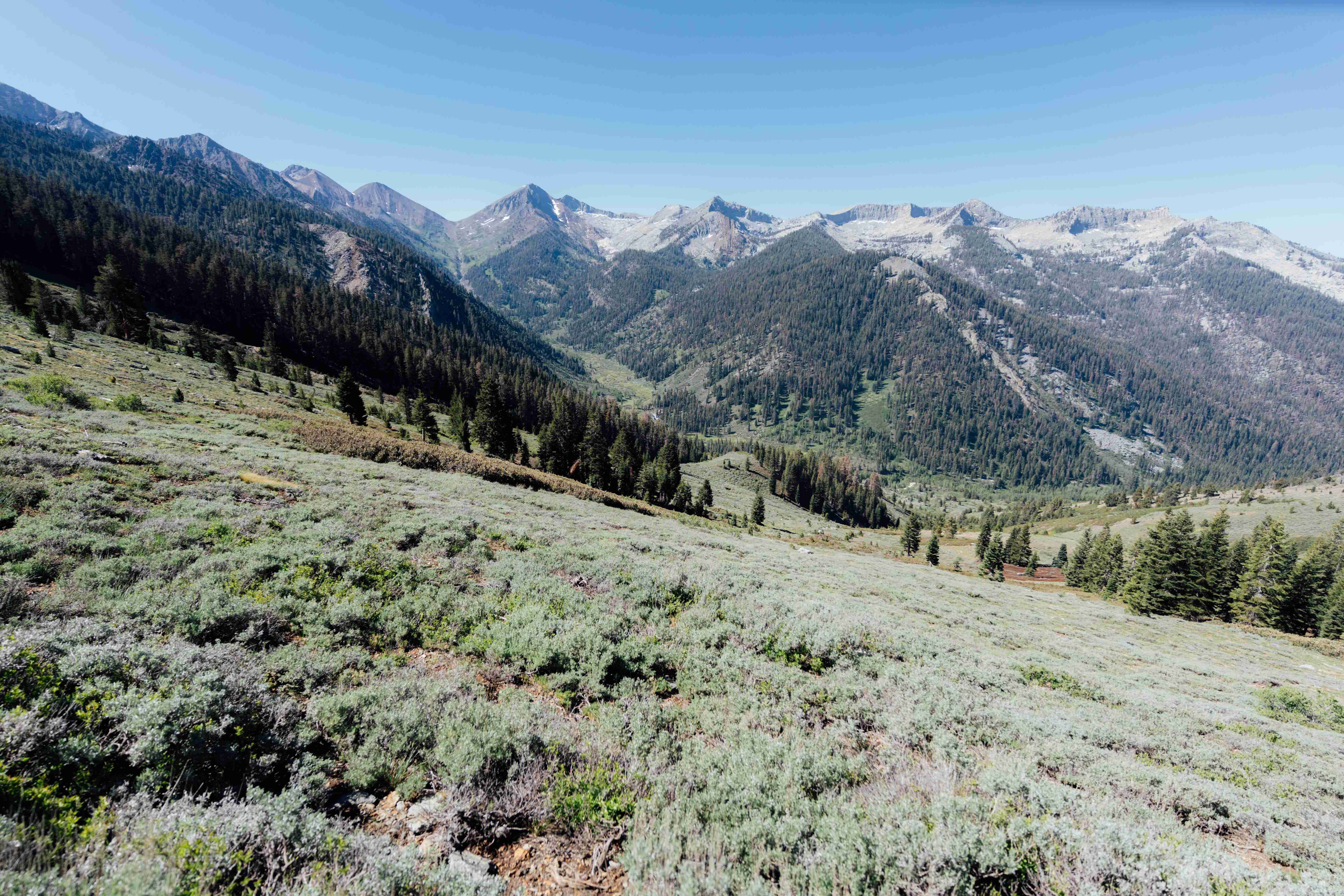
Our goal was still to link back up with the Southern Sierra High Route which would take us up over Crabtree Pass, around Discovery Pinnacle, and to the summit of Mt. Whitney. This route also took us over Farewell Gap in the Mineral King region, which was quite beautiful. On one of our days along the TST, we cranked out a thirty mile day, ending down at the Kern River. Here, we met a few huge crews of our ever-diligent National Park Service workers. They were all lounging around after a day of presumably backbreaking labor. We chatted with a few of them, asking what they were up to and how long they were to be out for.
In the morning, Anthony cruised over to a dumpy old outhouse near where we were camping. While in there, he was approached by one of the NPS workers, who bellowed, “Are you a park visitor?”
Anthony replied “Yes, sir!”
To which the NPS worker replied with the lofty eminence of a very powerful individual, “Well, we typically like park guests to ask permission before they use this outhouse, it is generally reserved for park employees. Keep the urination in the outhouse to a minimum if you can. And do not throw toilet paper in the outhouse, take it out front and burn it.”
After being read this long manifesto, Anthony attempted a hasty exit, though while trying to burn his toilet paper a different employee came up and said “Don’t burn that toilet paper! Place it in this bucket, we will burn it tonight. And please keep the door open when you are done.” Anthony did so, and we made our escape. In odd contrast with the rules expressed to Anthony by these folks, the Sequoia National Park regulations expressly prohibit the burning of toilet paper. Perhaps they didn’t get the memo. I am just grateful that these thirty government officials were there to keep a close eye on that outhouse to ensure no malpractice was committed on the porcelain throne. I left that morning a proud American and even prouder taxpayer.
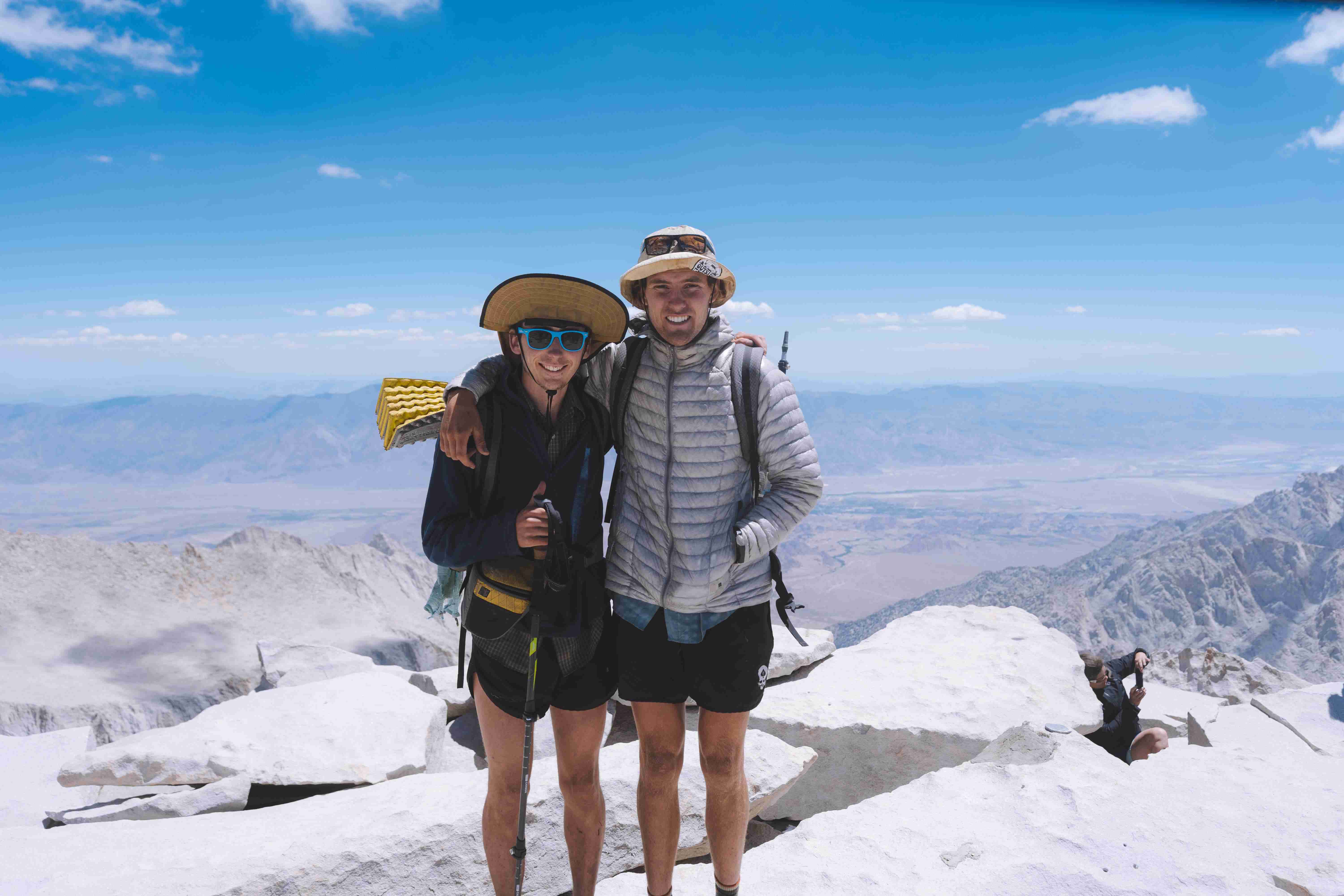
From there we made our way to Whitney, which would be the next morning’s objective. We camped near Sky Blue Lake that evening, not opting to to ascend too high for fear of lightning. Rain came down and the thunder clapped all evening as we hunkered down in our delicate little tarps. We had nothing to do but lay down and kill time, I watched hundreds of mosquitos buzz frantically around my tarp until I eventually fell asleep. In the morning we made short work of Crabtree Pass, and eventually came up on the ridge next to Discovery Pinnacle. We made our way over treacherous terrain to meet up with the Whitney trail. Once on trail, we busted out the three mile section leading to the summit. Along the way, I peeled off to climb Crooks Peak, while Anthony bagged Keeler Needle. We rejoined on the summit, snapped a photo, and made our way to the Mountaineer’s Route chute. Once there, we were greeted by melting snow which slickened the rock beyond all measure. This made the descent particularly treacherous. We made it about half way down when we stopped to talk strategy. Anthony asked, “What would you do if there were two of you?”
I was quick to tell him that “I’d send the other me down first!” We decided to turn back and hike the trail down.
A few hours later, we were at Whitney Portal. We grabbed a couple burgers and then hitchhiked back to the car. Three rides saw us back to Onion Valley, where I believe we slept for the night before heading back down to town the next day. It was an eventful trip, but a successful one nonetheless. It rained nearly every day, we changed our route multiple times on the fly for safety’s sake, and still managed to do a double crossing of the most beautiful mountain range in the world.