Southern Lost Coast
March 2022
In the spring, while waiting for winter conditions in the alpine to abate, snow-birds such as myself must opt for the desert or the coast. And so I found myself heading to the Lost Coast with Lexi for a long weekend of hiking. The feds have made attaining permits for the Northern Lost Coast Trail harder than getting a phD in theoretical physics, so we decided to hike the southern section, which is far less trafficked and does not require permits. We had vague notions of sending the northern section too, if time allowed, and telling the authorities, if they asked, that we were simply out for the day.
Half way along our drive north, we passed a couple hitchhikers with a ton of gear. Short on space, and not wanting to rearrange the whole car, we didn’t pick them up. This decision would come back to bite us in the end. We made it to Usal Road around sunset, parked a little ways up the dirt road, and started walking to the southern terminus of the trail. The road walk was about six miles, much of which we did after dark. Arriving at the general vicinity of the trailhead, we laid out our sleeping bags and turned in for the night.
The next morning, we slept in. We were awoken by some hikers passing by, probably marveling at our laziness. We started hiking along what we soon found out was the wrong trail, and eventually found the correct path: a faint single track that was impressively hard locate. This would be thematic of the route, very faint single track, sometimes disappearing altogether amidst the dense flora of the region.
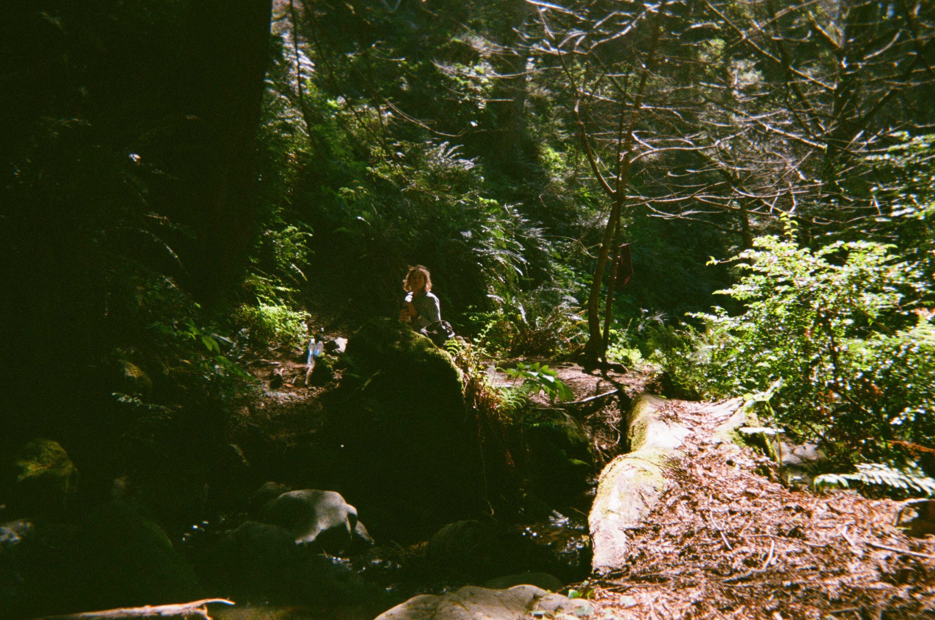
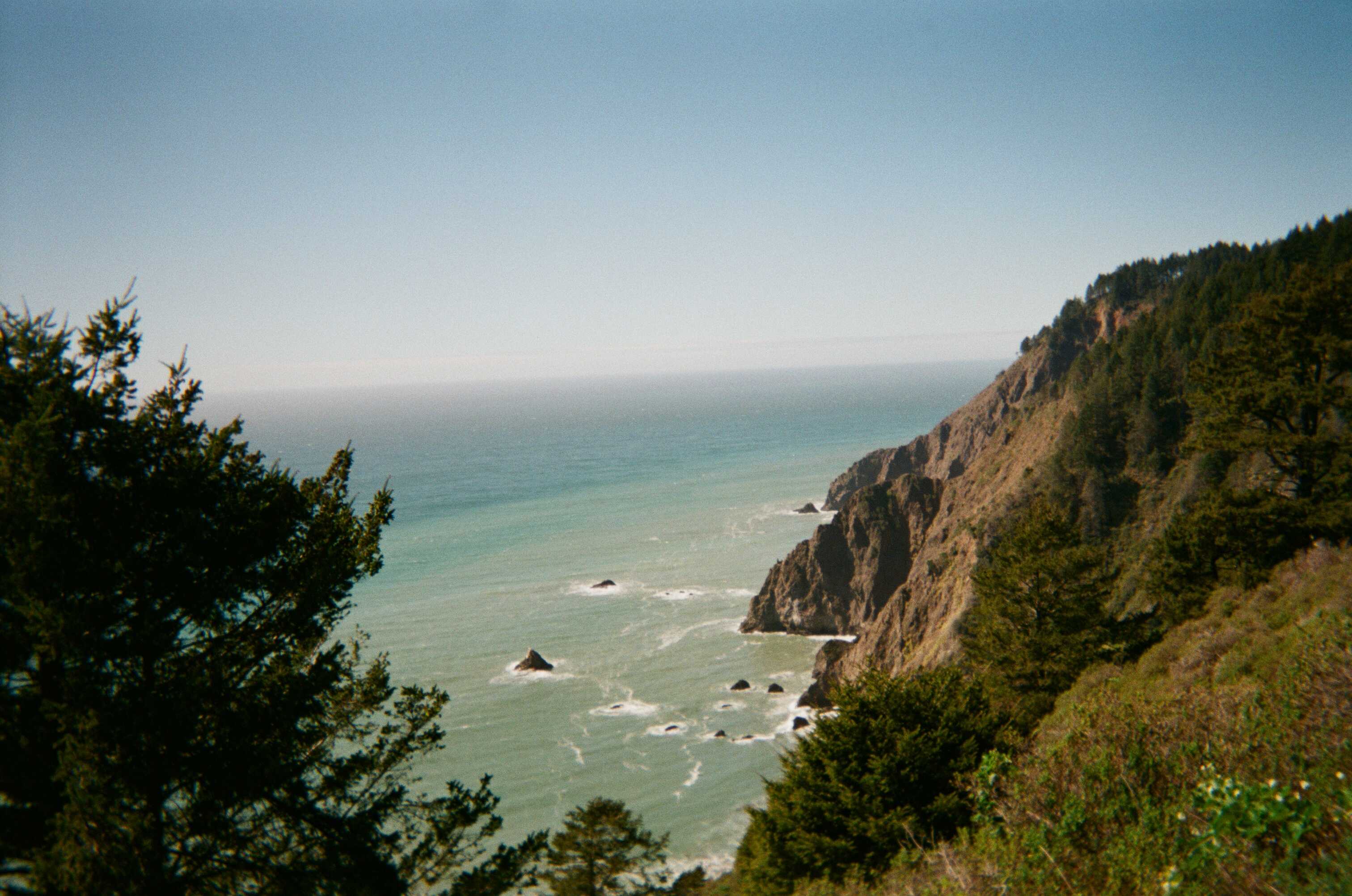
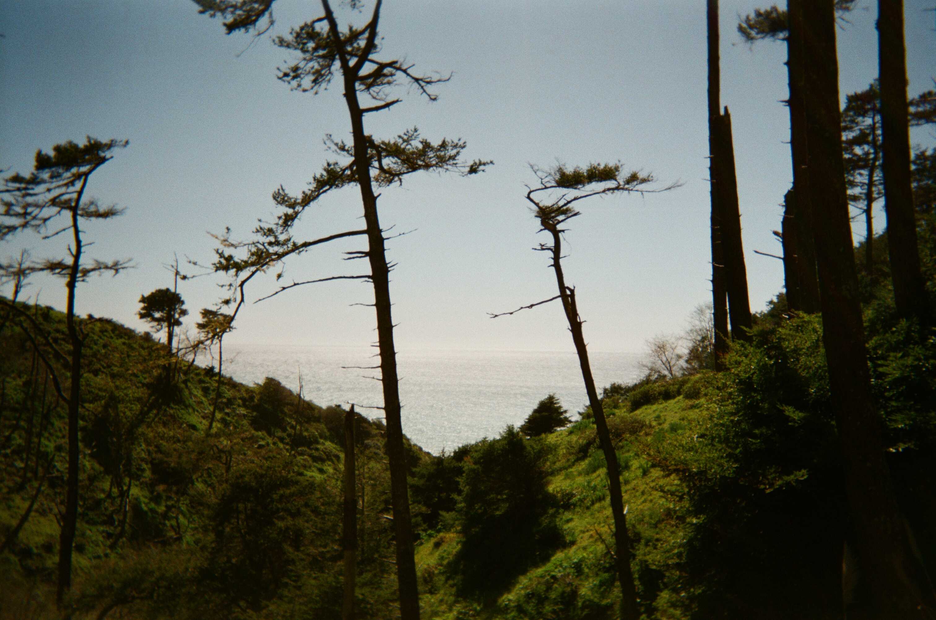
The hiking was pleasant, and we spent much of our time searching for four-leaf clovers. We found none. As it turns out, the species of clover that often bears four leafs is not native to the region. It was still good fun all the same. The terrain proved very steep and arduous, which, paired with our hunt for four-leaf clovers, made for slow hiking. We made surprisingly little headway by midday, and decided to take our time, putting ideas of hiking the Northern section well out of our minds. Once this was decided, we embraced our leisurely pace, and really took in the surroundings.
Navigation was enjoyable: we had to be alert to keep track of the trail, and creative when we lost it. It was a bit more engaging than your well-tracked hiking trail. We ambled up surprisingly steep and severe mountains, that dropped precipitously right into the ocean. It is incredibly rugged coastline, and it is not surprising that the area is essentially undeveloped. We often dropped onto beautifully secluded beaches. At these points we would rest, eat, drink, and soak up the sun. Once fortified, we’d head back up into the mountains for more steep climbs and descents.
On our second night, we found ourselves camping on a beautiful ridge surrounded by hundreds of Tan Oaks. The wind whipped all night, which had me worried about branches crashing down on us. Fortunately, all branches above us held fast, and we survived the night. The wind calmed down as we started hiking in the morning and a dense fog hung in the air. Eventually, we moved onto easier terrain. Rugged mountains turned into rolling hills. Early in the afternoon, we came upon what I consider the most beautiful place I’ve ever been. A serene creek flowed through a dense forest littered with all sorts of colorful flowers, and eventually poured straight out into the ocean. There were several primitive campsites, and no one to be found. The beach was a protected cove, with craggy rock outcroppings towering on either side of it. It was so beautiful that we decided to spend the rest of the day there. I set up our tarp just before we went to sleep, with the hunch that the next morning may be wet.
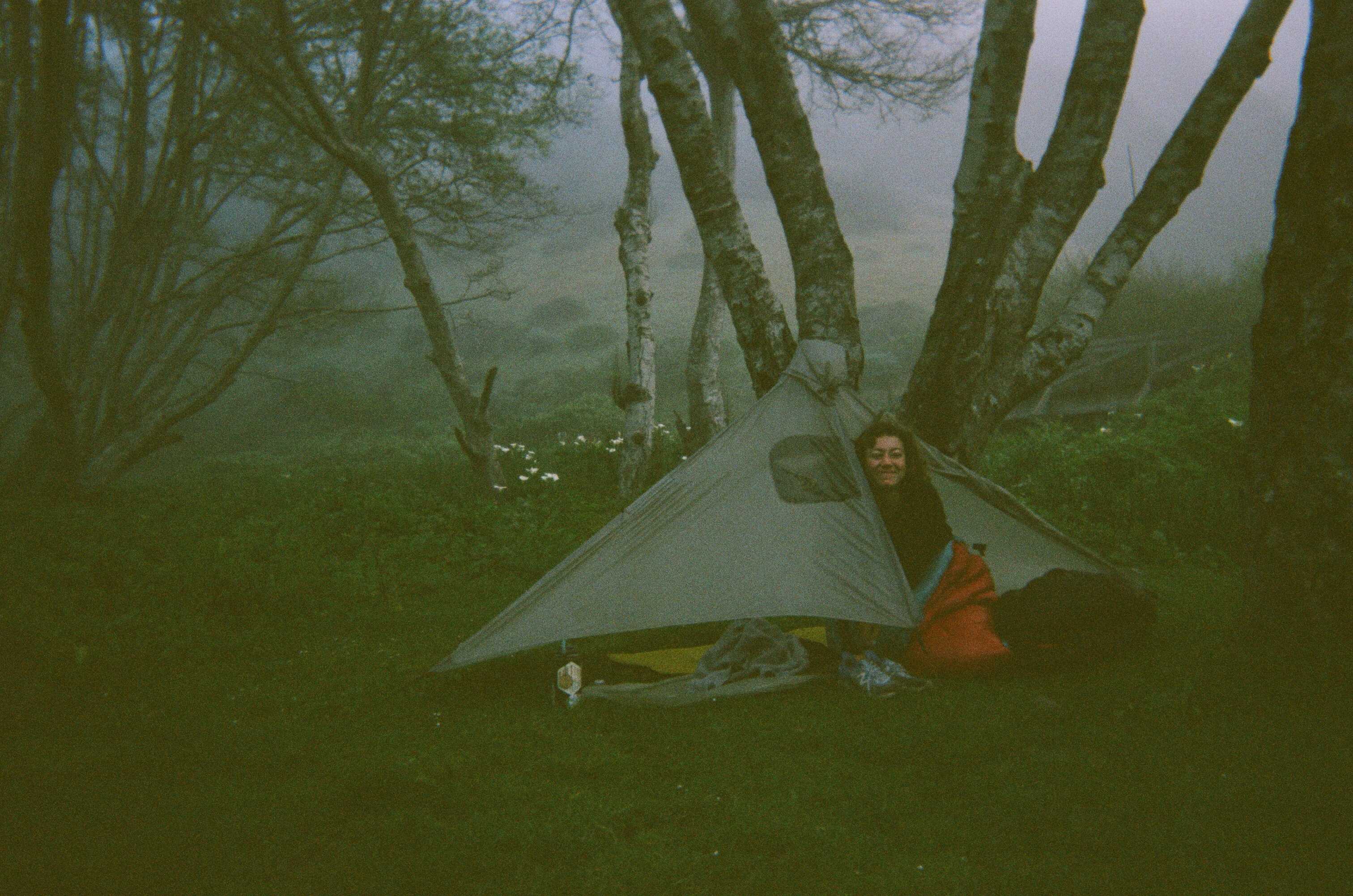
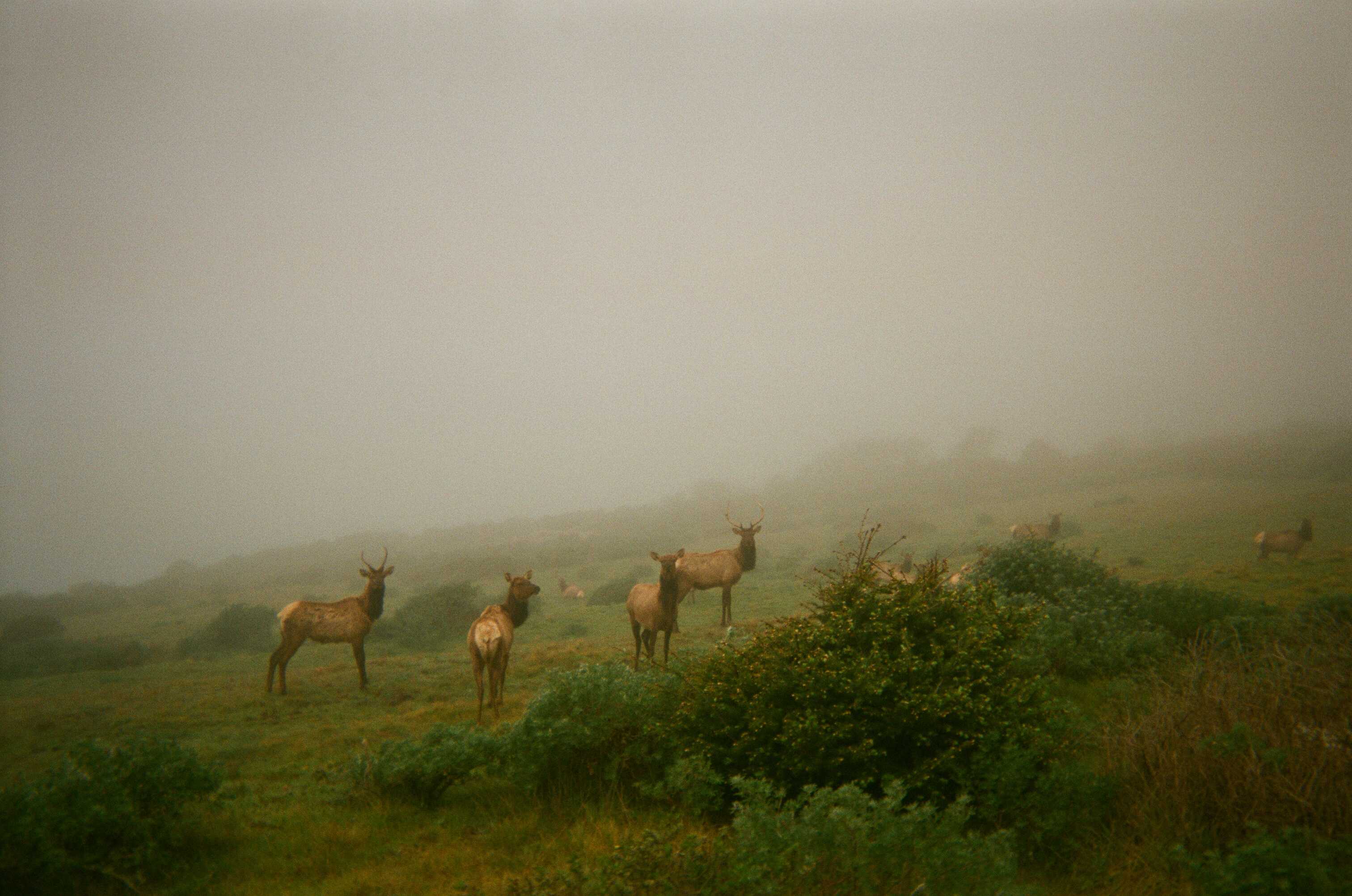
We slept soundly at our campsite, and were glad to have had the tarp, as the morning was quite foggy and dewy. We hiked along easy and pleasant terrain. To our great surprise, we turned a corner and were suddenly surrounded by a herd of Roosevelt Elk. It was an extremely unique experience. Just past the herd, we came upon a visitor center with some benches. We were practically on top of it when it came into view, since the fog was so dense. We took a seat on a bench, ate, and watched the Elk for some time.
There were no visitors at the building, but Lexi was able to meet the caretakers. They were heading to the beach to do some birding. We ambled on, quite close to the coast, and eventually hit some steeper terrain, reminiscent of the first portion of the route. Eventually, we dropped down toward Shelter Cove, the end of our hike.
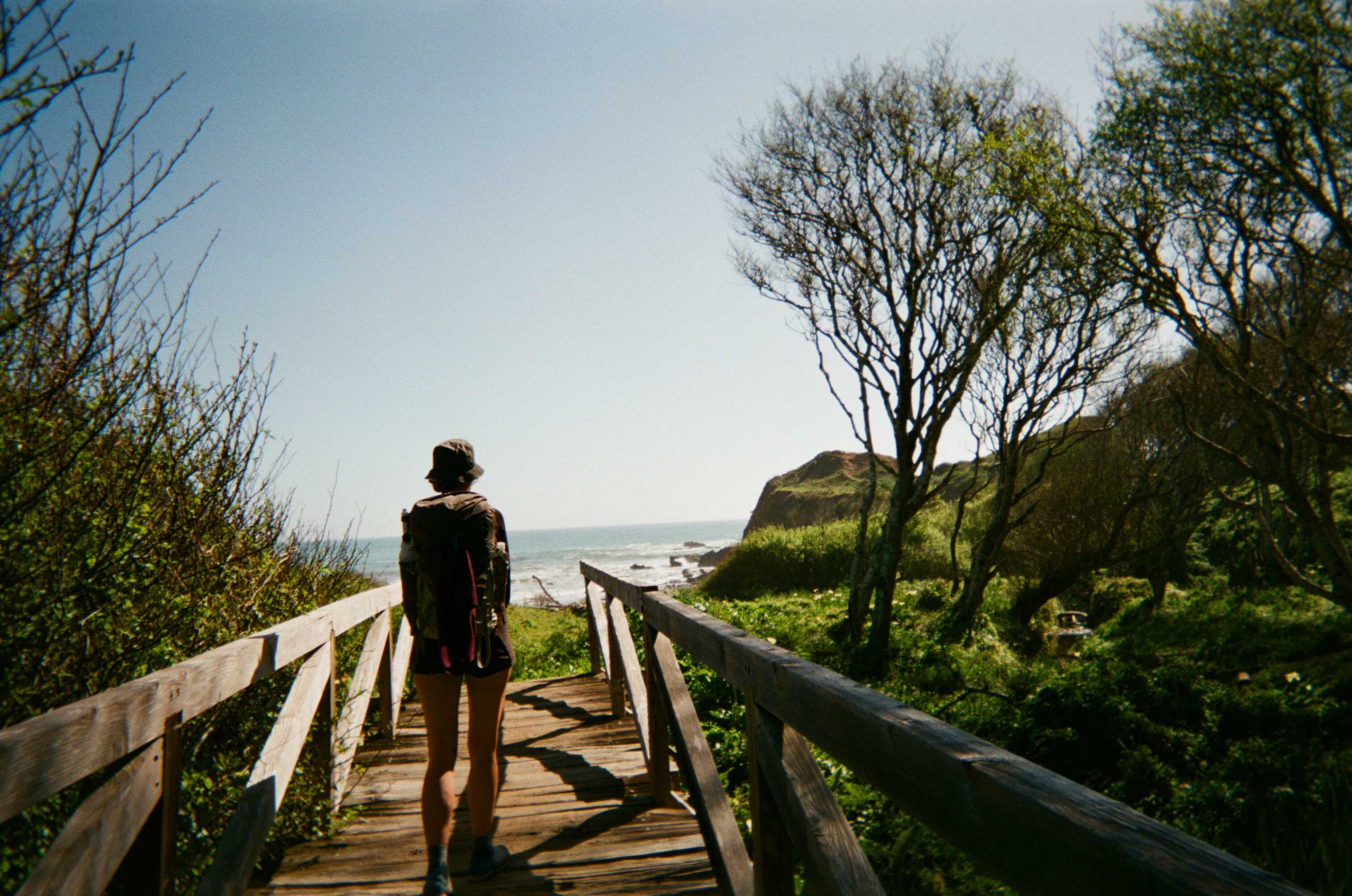
We woke up early the next morning and started hitchhiking. The first hitch took about thirty minutes. A gruff but kind guy named Donny gave us a ride into Garberville, which was slightly out of the way for him. He managed weed farms for work, and panned for gold for recreation. We found ourselves hitching on an onramp to the 101 South for a couple of hours. I was surprised at how long it took to get a ride. We had to walk into town for a bit when a cop pulled up to us on the onramp, signaling for us to scram. We came back thirty minutes later, and eventually got a ride from an Italian chef. His story was a bit confusing, as he seemed to be on his was to Santa Rosa, then Mexico, Spain, and eventually Italy, but he was good company nonetheless. He dropped us off at the intersection with the PCH, and that last hitch took over two hours. Lexi and I devised a plan that we’d split up, me running to the car, and her hitching, to ensure we got to the car one way or another by nightfall. I was taking some weight out of my pack, about to start running the thirteen mile stretch to the car, when a couple of Dutch guys pulled up to give us a ride. It turns out they were on vacation from the Netherlands, and rolled dice on all their decisions. This was how the usually travelled. They rolled the dice as to whether they’d pick us up or not, and it came out in our favor. Lucky us. I suspect that the hitching would have been easier if we picked those guys up at the start of the weekend.