Tehipite Loop
July 2022
The Tehipite Loop was Anthony’s twisted brainchild and it stands as one of the most rugged routes I’ve completed in the Sierra. The route included remote basins and rugged passes of the high Sierra, lowlands west of the crest, and the route’s eponymous Tehipite Valley. Anthony, Ari and I gorged ourselves on junk food in Bishop for most of the morning and eventually waddled over Paiute Pass that evening. After a good night’s sleep, we made our way to the John Muir Trail, which we followed for some time until turning off for Hell for Sure Pass. Despite its name, the pass was quite pleasant, save for the mosquitos that waged war on us the whole way up.
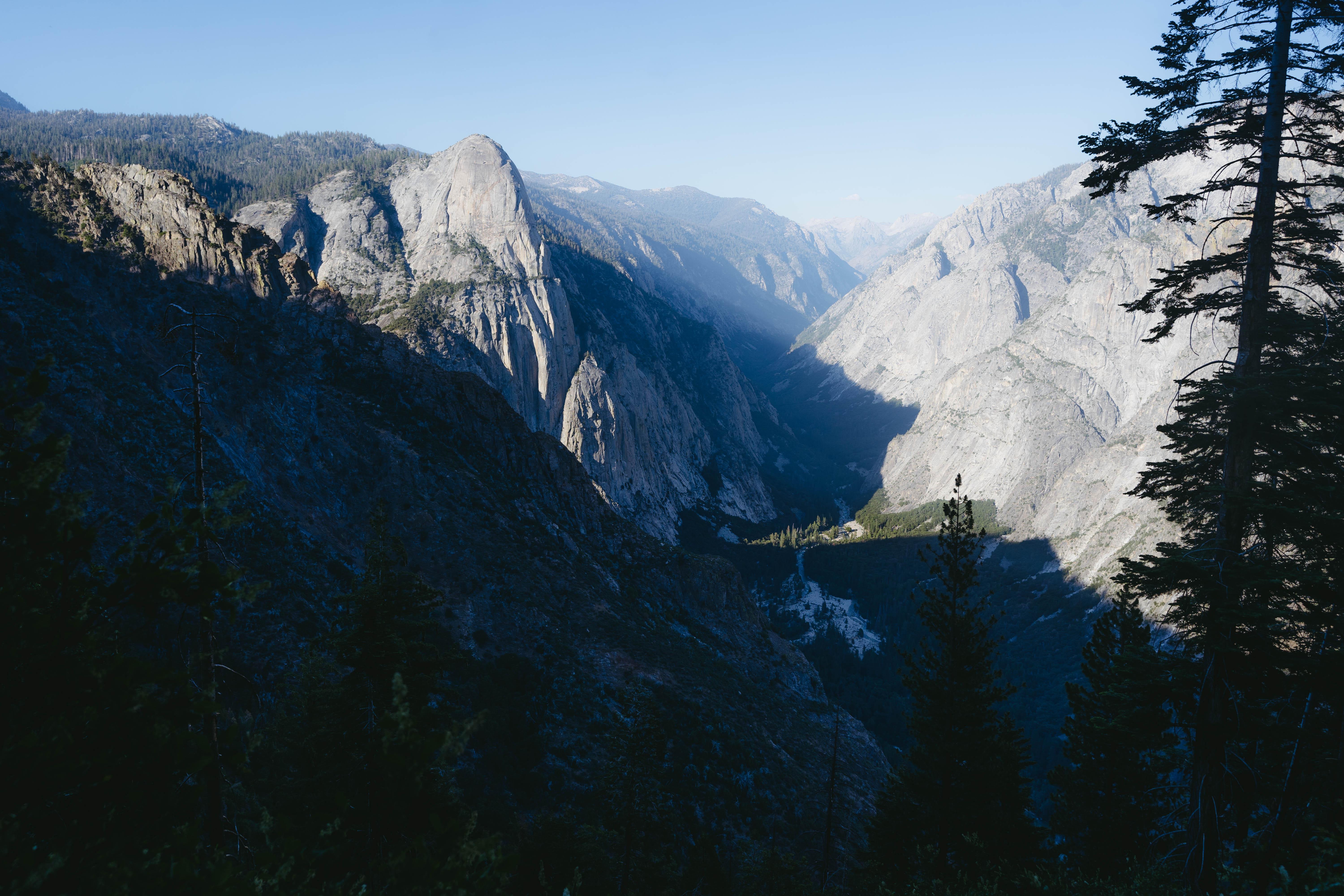
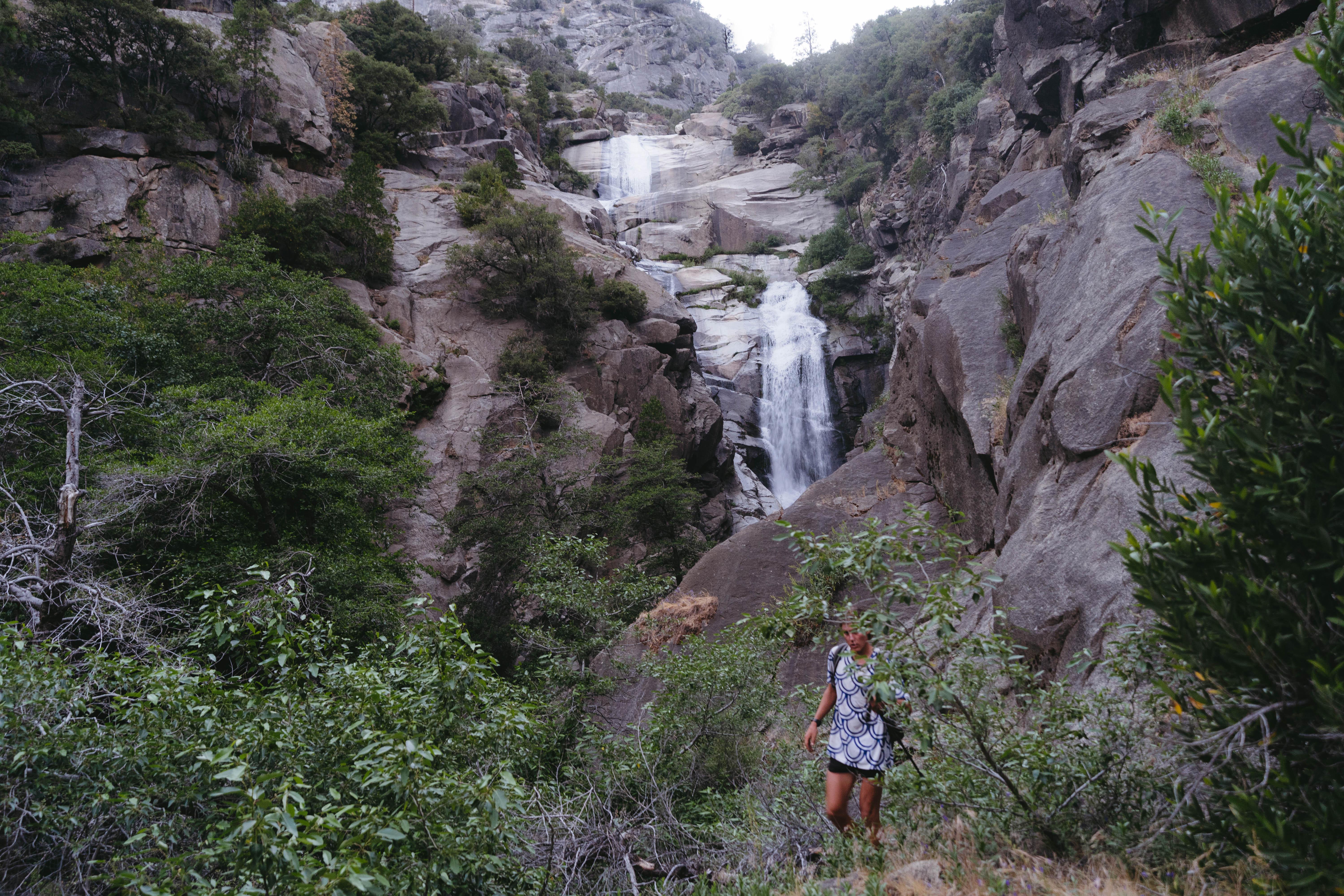
We dropped off the pass, down into the verdant lowlands of the western Sierra. Dense green flora and healthy trees dominated the landscapes as we wound our way down towards Tehipite Valley. We stopped for a dip in Devil’s Bathtub during the hottest part of the day, which was a welcomed break for all three of us. Eventually, the spectacular Tehipite Dome came into view—a sight more break-taking than that of Half Dome or El Capitan. The sheer granite walls of this oblong dome coupled with the valley’s remoteness made it one of the most special places I have ever been. We dropped precipitously into the valley, all the way down to 4,000 feet, and then slowly wound our way through it. We stopped at a crazy waterfall, inspected some ancient petroglyphs and camped out in the bush.
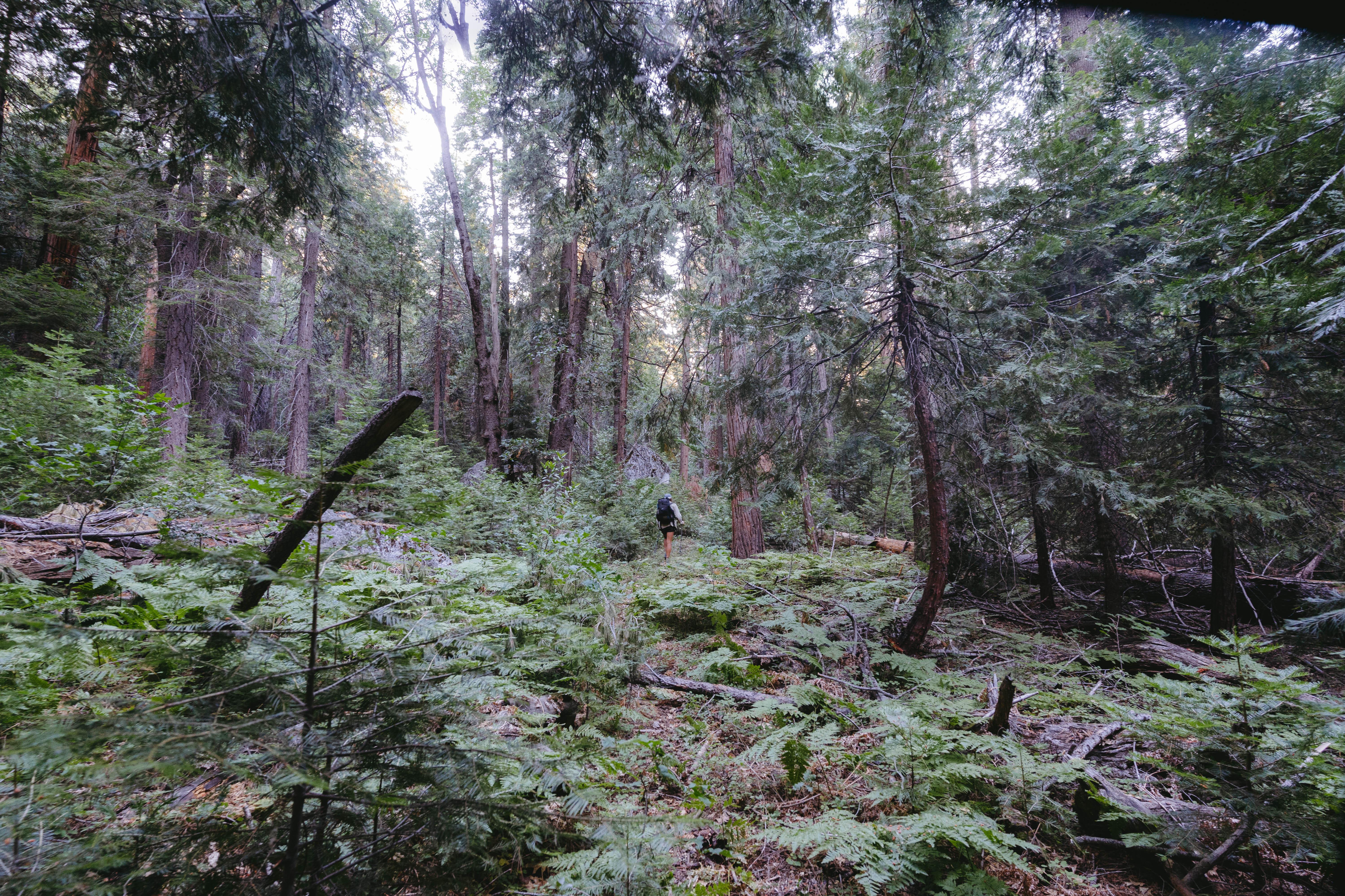
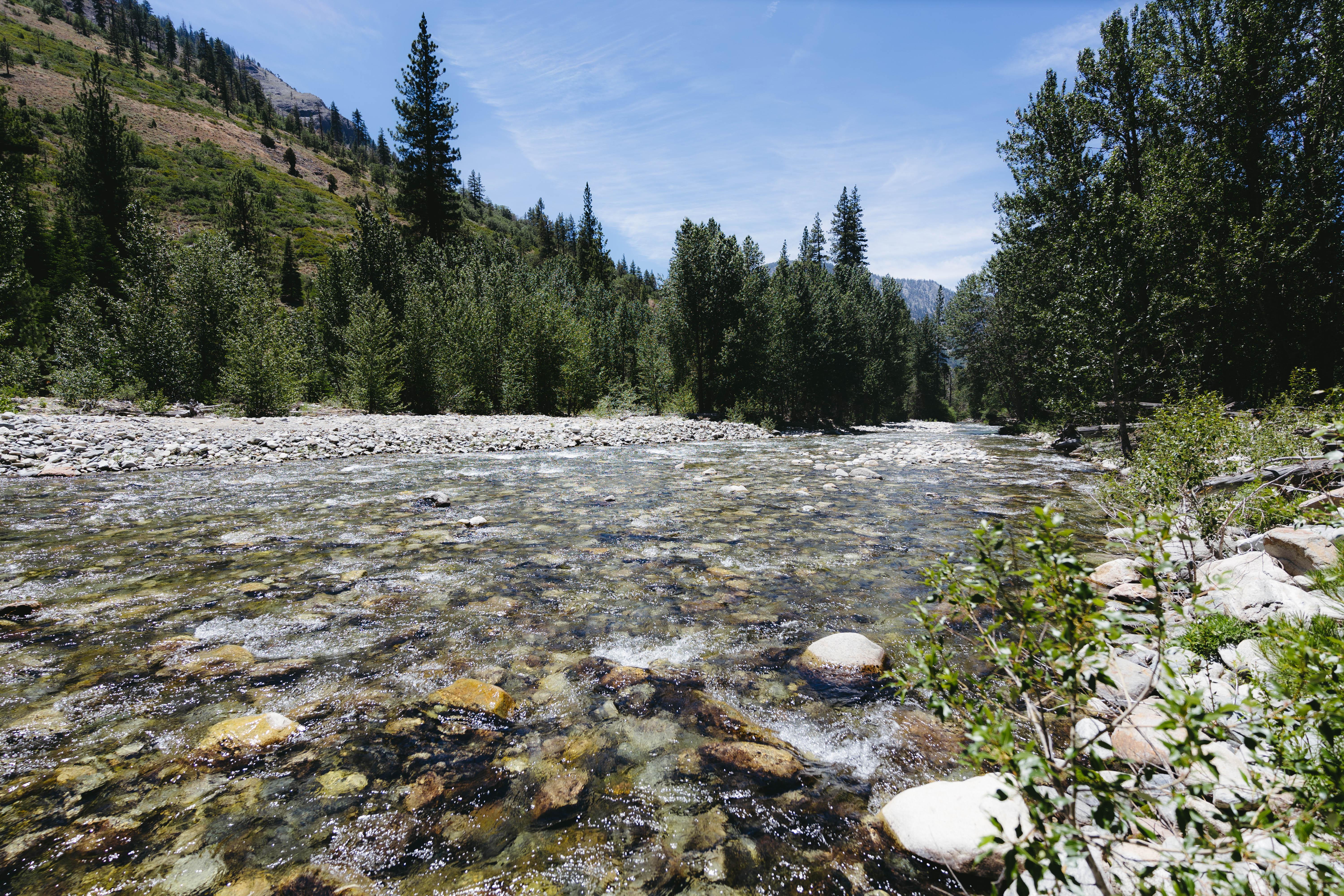
An early start the next morning allowed us to beat the heat, as we worked our way up to something like 12,000 feet. We followed the Middle Fork of the Kings river for a while before working our way up Goddard Creek. This is an infamous bushwhack that has been described as “heinous” by almost all of those who have dared to venture up the drainage. It took us several hours to travel three modest miles, but eventually we made it to the confluence with Enchanted Gorge. I thought the majority of the bushwhack was behind us, but we still had lots of unpleasant side-hilling and bushwhacking in store to reach the Ionian Basin.
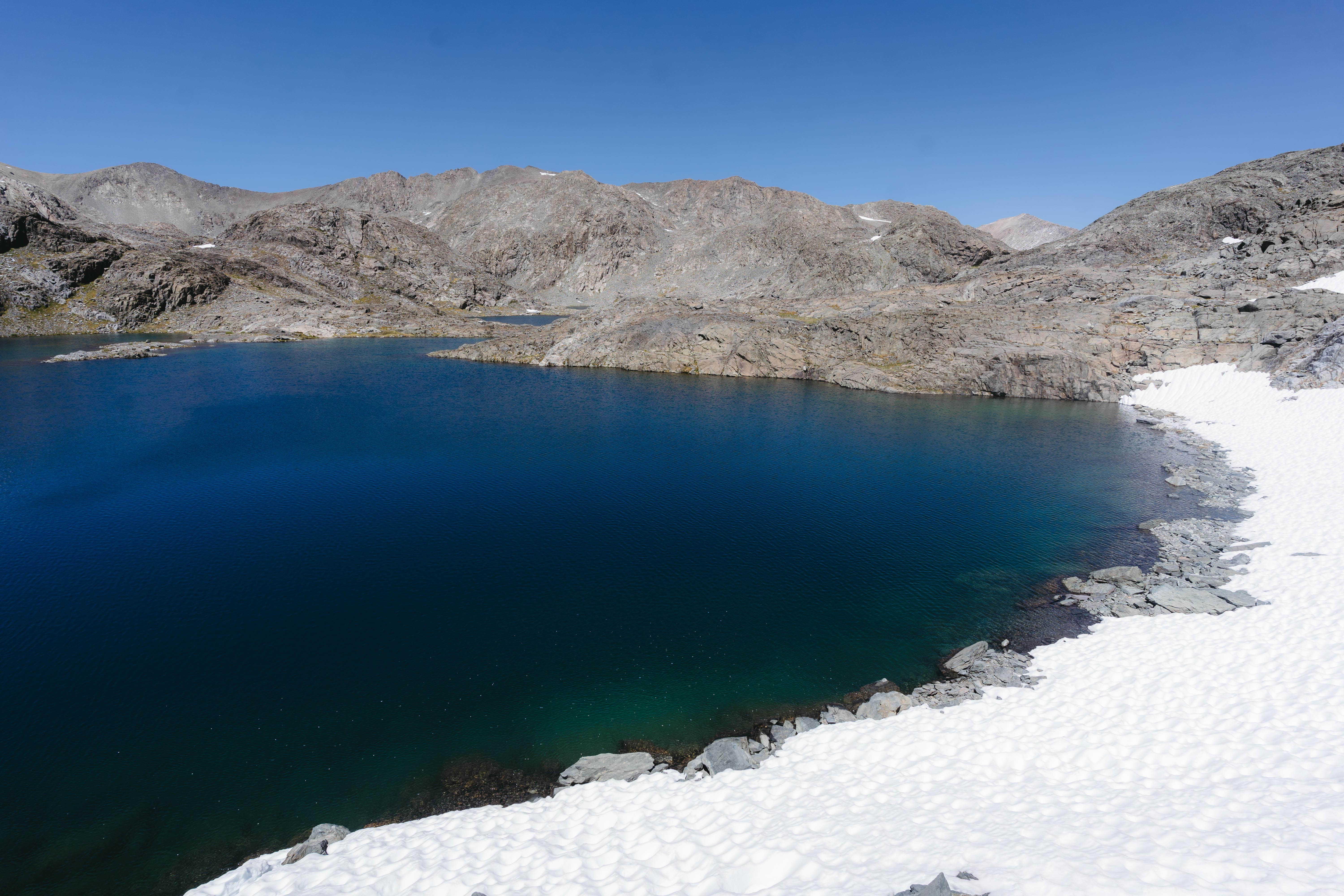
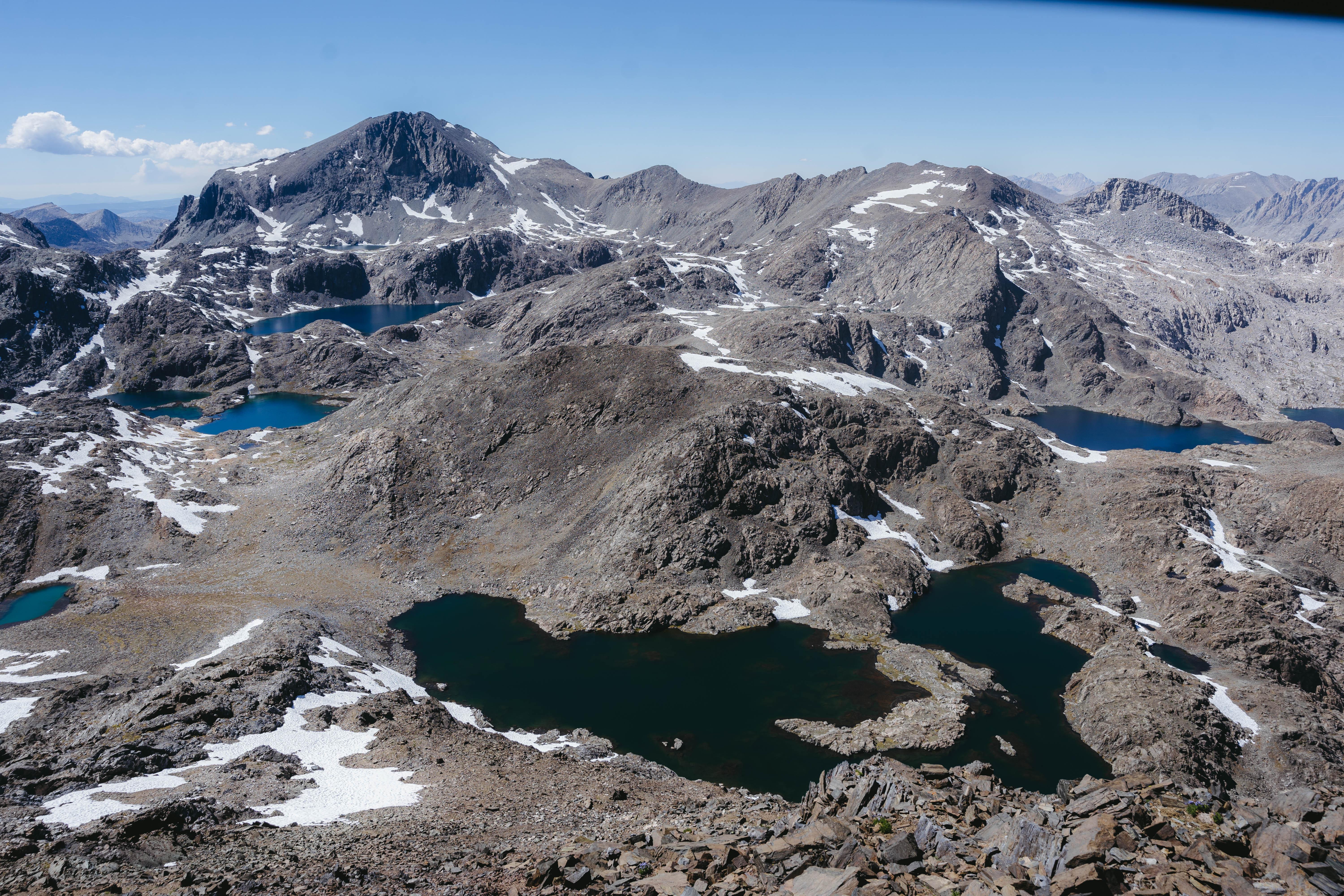
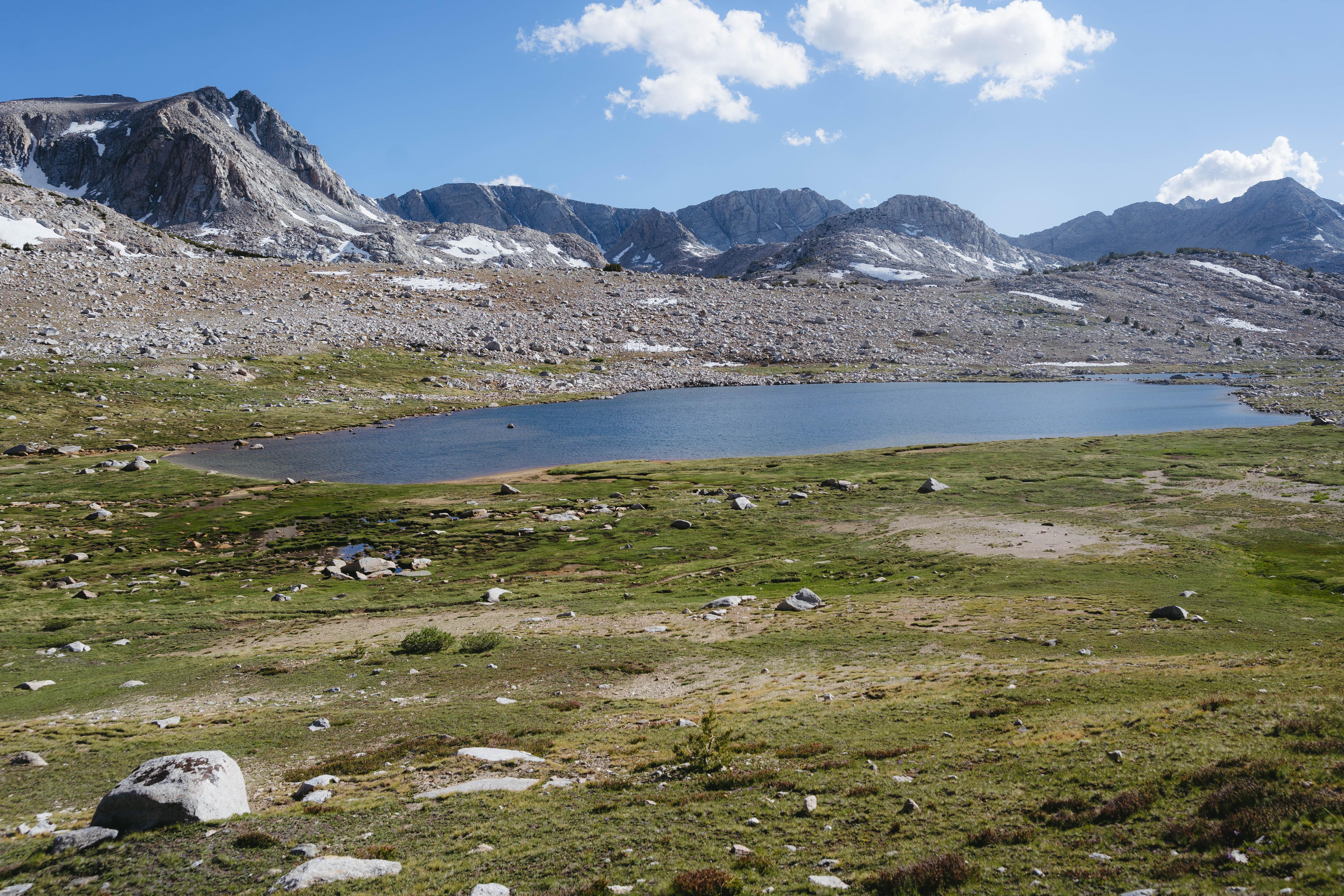
The next day we attained the basin, and decided to climb Mt. Scylla, one the Sierra’s most remote peaks. I should have brought my copy of The Odyssey in the spirit of our trip, since the basin and all surrounding peaks drew their names from this classic. The top of Scylla offered spectacular views of one of the most magical places in the range. Basically out of food, but with high spirits, we descended to Wanda Lake, where we camped for the night. The next morning saw us over Haeckel Col and eventually back to our car at Lake Sabrina, exhausted to the bone but extraordinarily satisfied. What a stupendous trip the Tehipite Loop proved to be, bushwhacking and all.